Migjorn
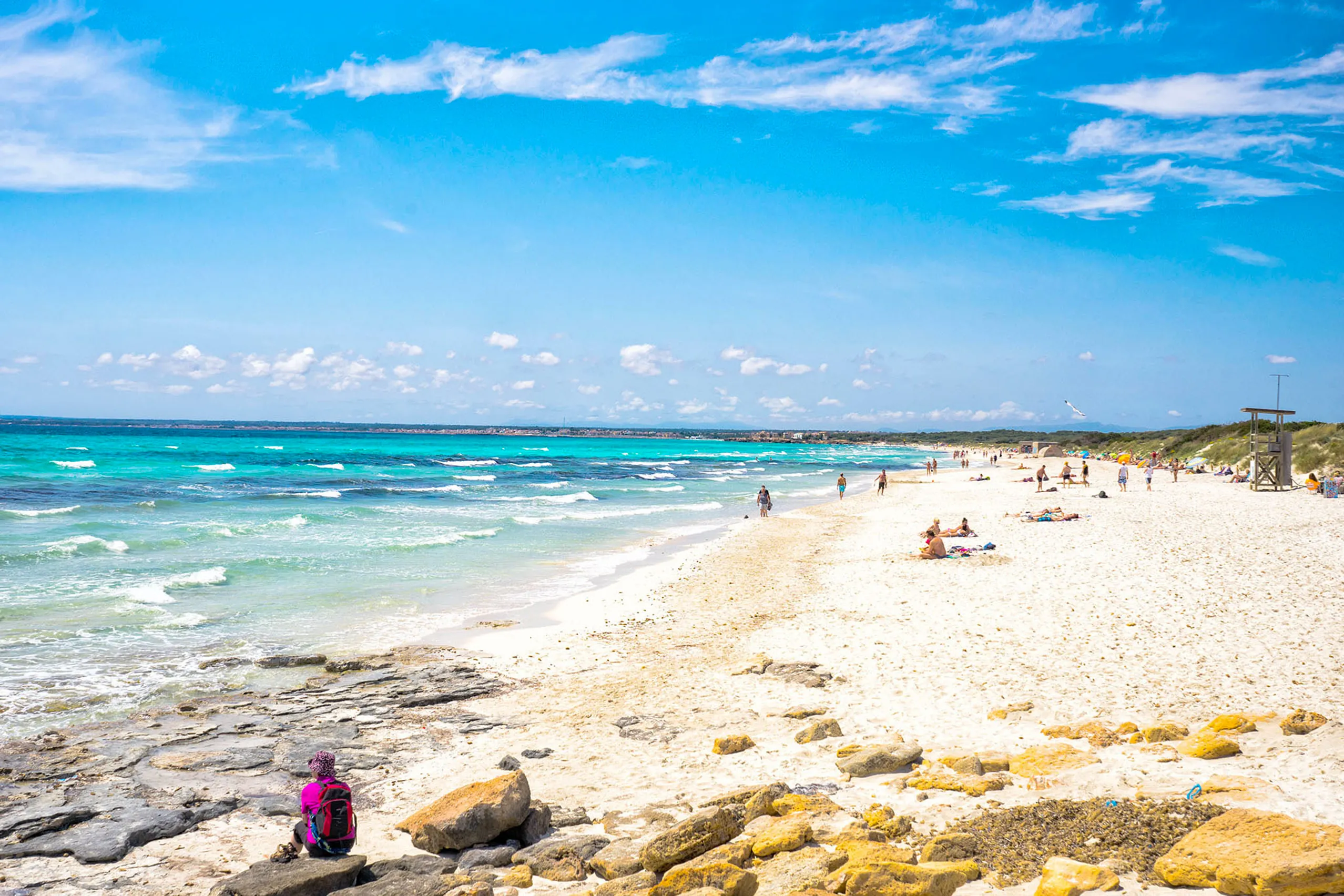
Pale sand and dunes define Es Trenc. The vegetation behind the beach is part of its protected habitat.
Migjorn is Mallorca’s southern region, covering Llucmajor, Campos, ses Salines, Santanyí and Felanitx. To the west it’s flat and open, with long sandy beaches and salt pans behind them. Farther east, the coastline becomes rocky and the little coves begin.
The beaches
Es Trenc is the best-known beach: kilometres of pale sand without a row of hotels behind it, within a natural park designated in 2017. East of it lie Platja des Carbó and Platja des Caragol, reached on foot. To the west are Sa Ràpita, S’Estanyol and the narrow inlet of Cala Pi. Offshore seagrass meadows help protect this coast. The washed-up Posidonia you’ll see on some beaches is deliberately left in place to help protect the sand.
Salt and stone
Between Campos and the coast, the Salines d’Es Trenc cover around 170 hectares of pools, producing roughly ten thousand tonnes of sea salt a year. Their pink colours come from microscopic organisms in the salty water, and flamingos can be seen in the area. Farther east, around Santanyí, quarries extract marès, the golden limestone used in Palma’s cathedral, Castell de Bellver and Sa Llotja.
The south-eastern coves
Beyond Santanyí, the coast becomes more rugged. Cala Santanyí, Cala Llombards, Caló des Moro, Cala s’Almunia, Cala Mondragó, Cala Figuera, Porto Petro and Cala d’Or are followed farther north by Portocolom and Cala Brafi. Many are small inlets between rocky headlands, with clear water and limited space. The popular beaches fill early in July and August, and access may be restricted when parking areas are full.
When to come
May and June offer warming water and generally less pressure on the beaches than high summer. In September and October, the sea still holds some summer warmth. The southern shore can offer shelter from northerly winds, though always check conditions at the beach itself. In high summer, parking around Es Trenc fills early; walking from Sa Ràpita is another option, with enough water and protection from the sun.
All the places in the region
Migjorn: towns, coves and places to visit
Cala Brafi
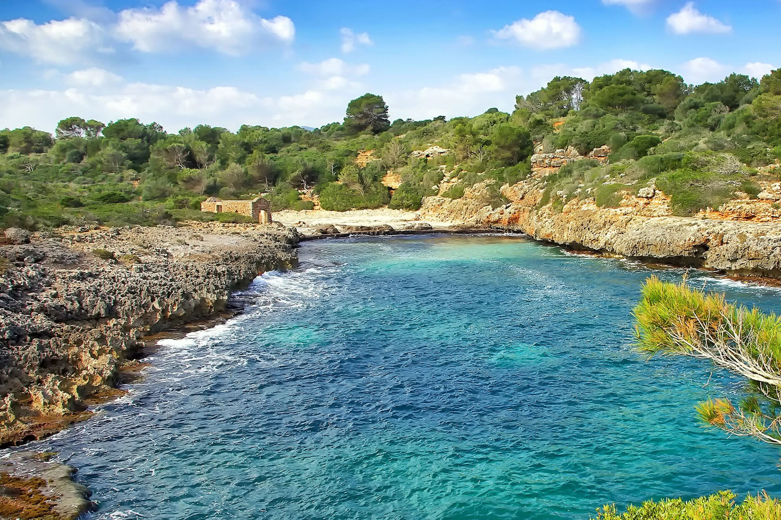
A small, undeveloped bay with no kiosk or road to the sand. A rough path between dry-stone walls leads past a low wall to cross, the remains of a fisher…
Cala d'en Marçal
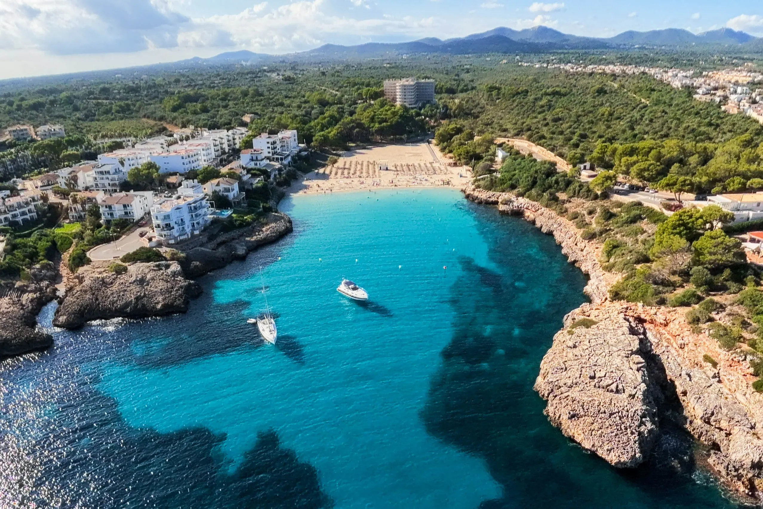
Golden sand, gently shelving water and a nearby bus stop make Cala d'en Marçal Portocolom's convenient family beach. It is easy to enjoy — and understan…
Cala d'Or
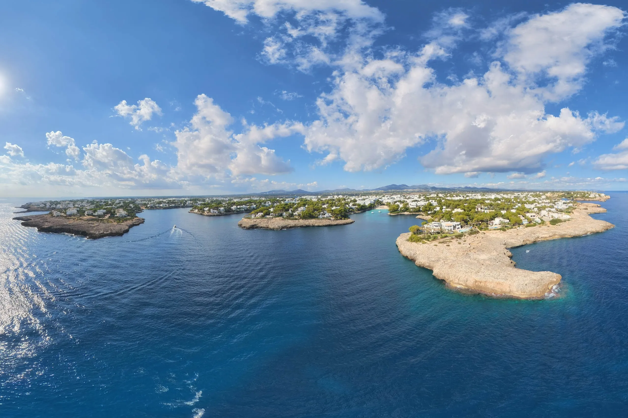
A resort planned in the 1930s by an Ibizan who brought the style of his home island with him. Low white buildings surround turquoise coves and a marina,…
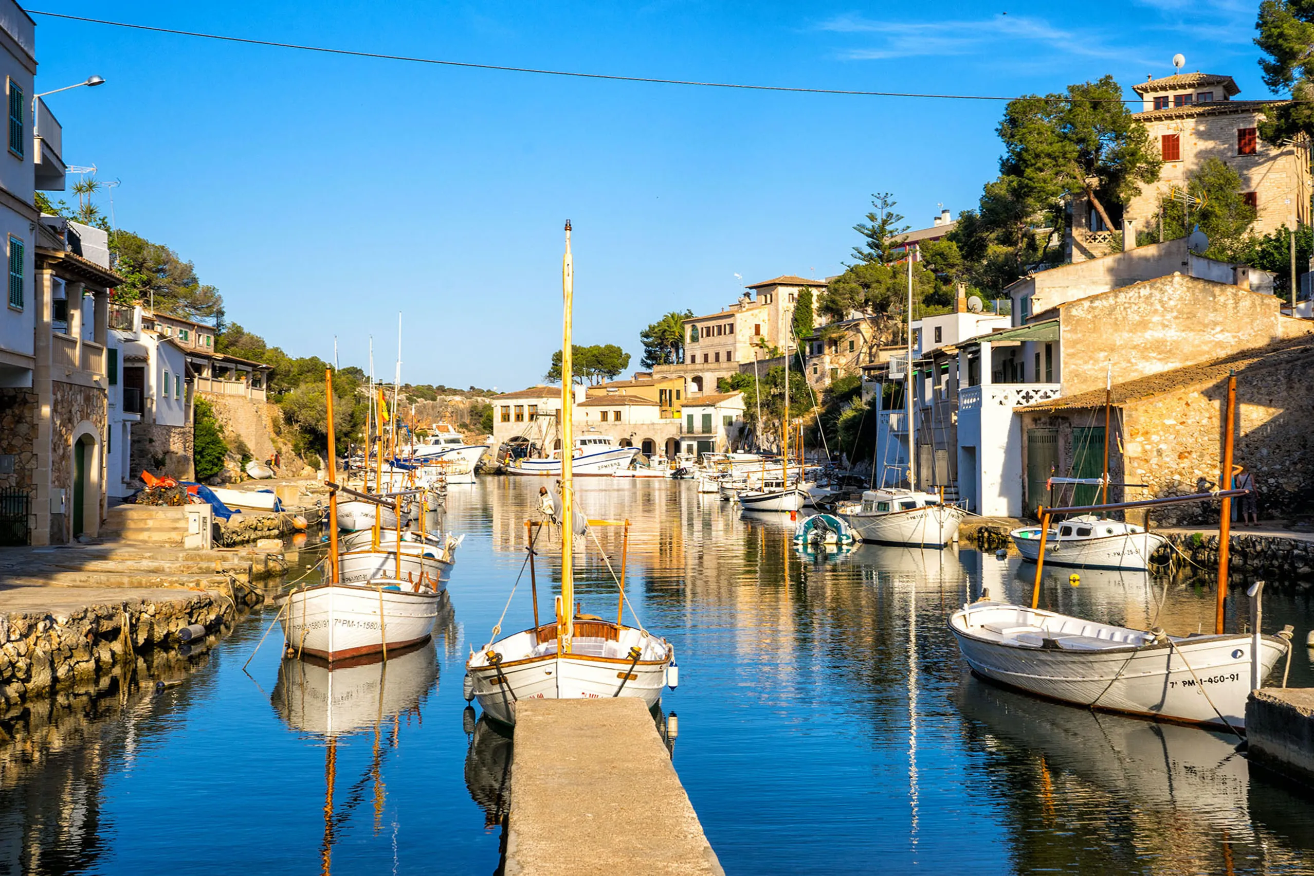
Cala Figuera
A fishing village around a narrow, forked inlet, with boathouses and slipways tucked against its rocky sides. Come for a working harbour and a waterfron…
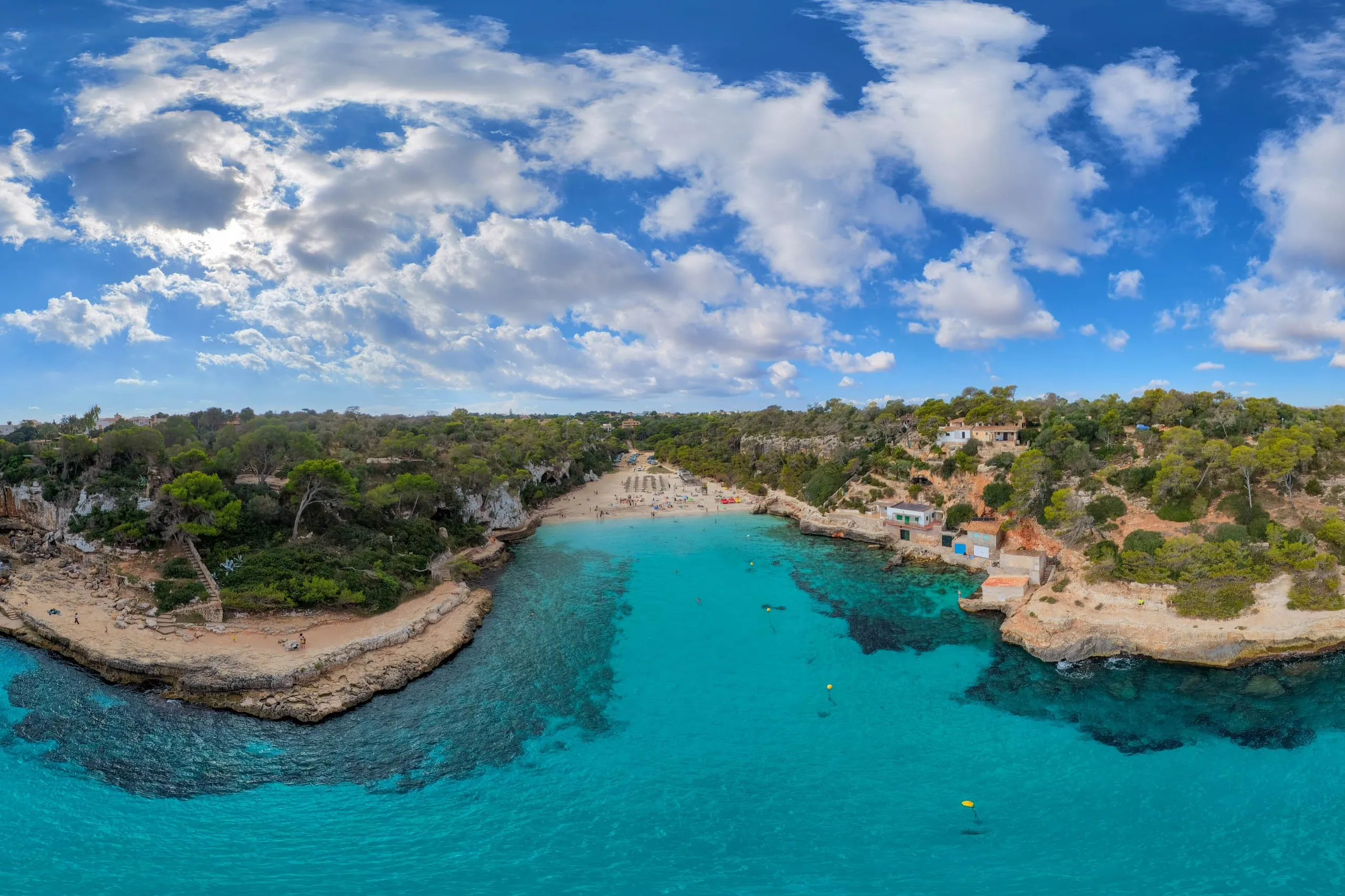
Cala Llombards
Pale sand between high rocky sides, clear water and boathouses built into the shore. Cala Llombards is no secret, but outside the busiest weeks it still…
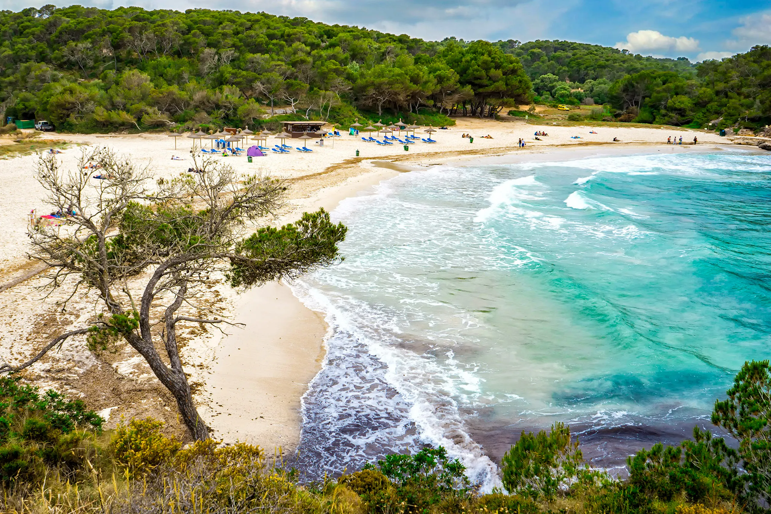
Cala Mondragó
Three beaches within a natural park — S'Amarador, Ses Fonts de n'Alís and small Caló des Borgit. Pale sand lies between pines and rocks, reached by walk…
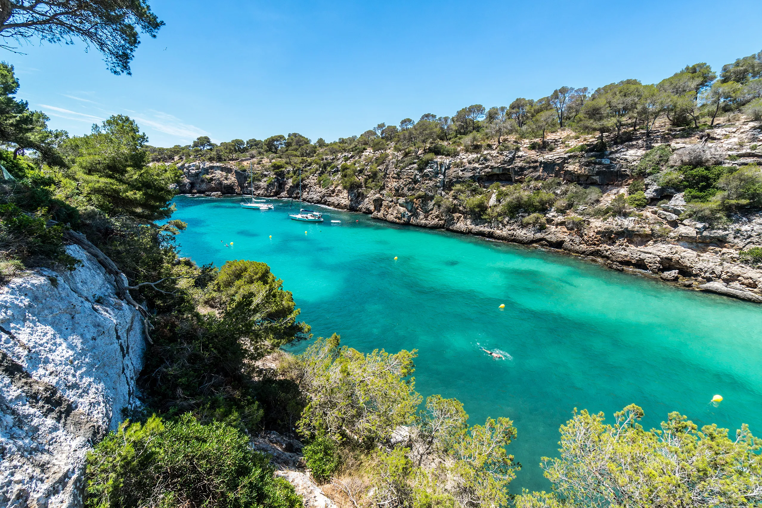
Cala Pi
A narrow inlet reaches roughly 400 metres inland, ending in a small sandy beach. Old boathouses line the water, while a watchtower built in 1663 stands…
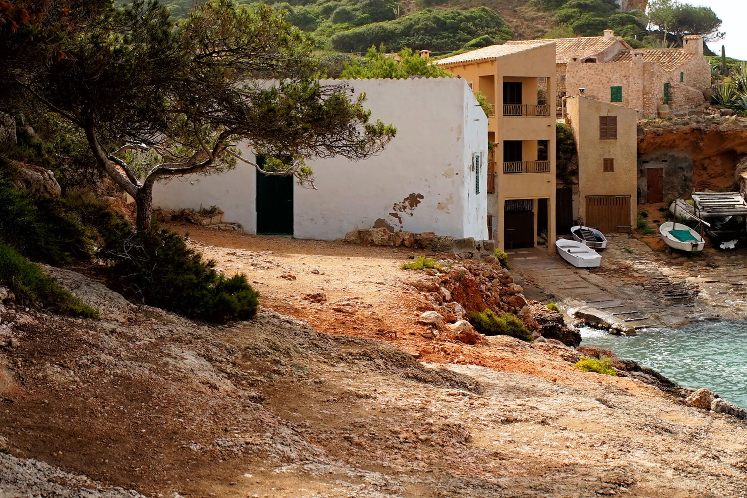
Cala s'Almunia
Around 110 steep steps lead down to fishermen's cottages, boathouses, rock and a tiny strip of sand. Cala s'Almunia is quite different from a convention…
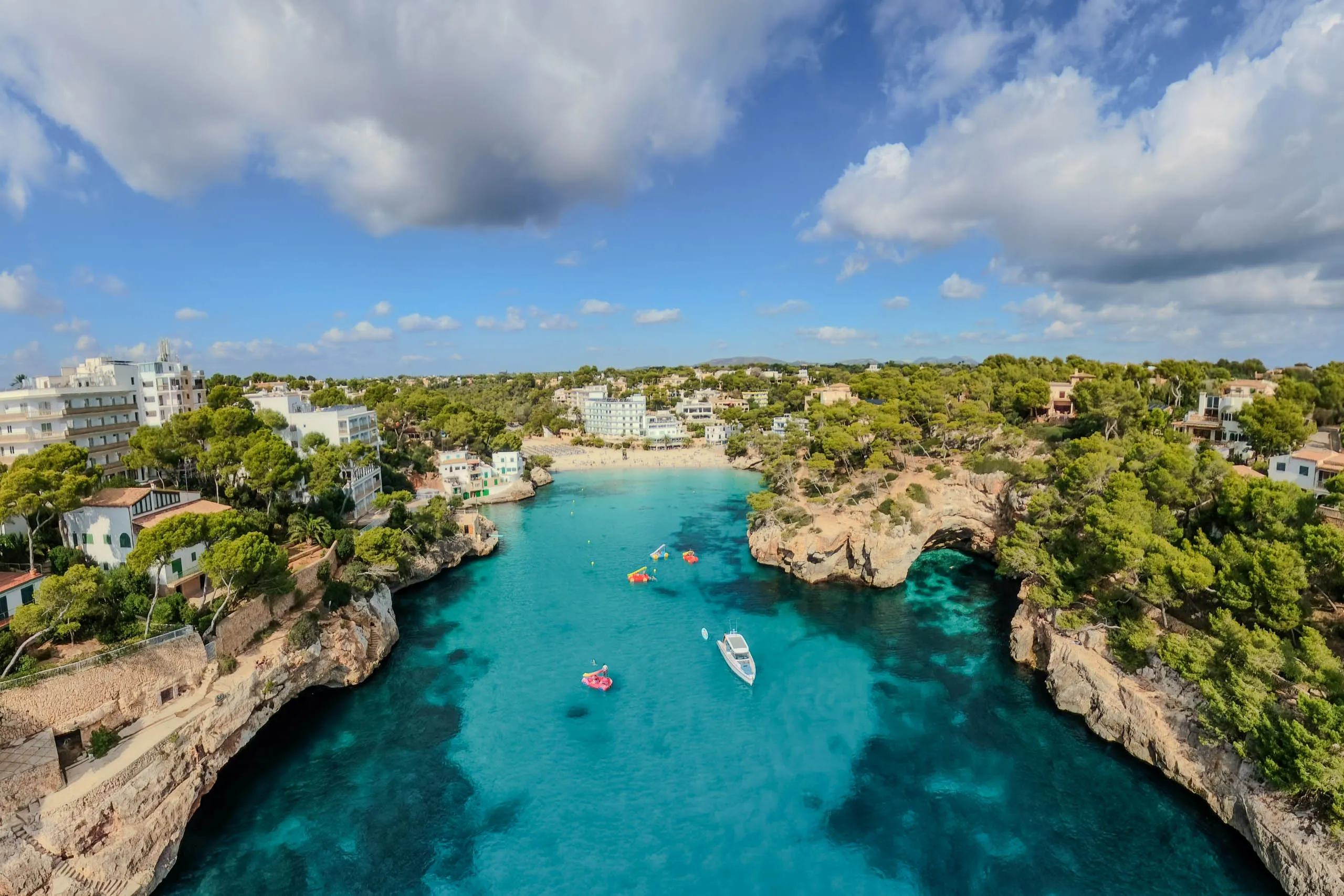
Cala Santanyí
Pale sand and gently shelving water in a rocky-sided bay, with hotels close behind. Cala Santanyí is a practical family beach and a useful starting poin…
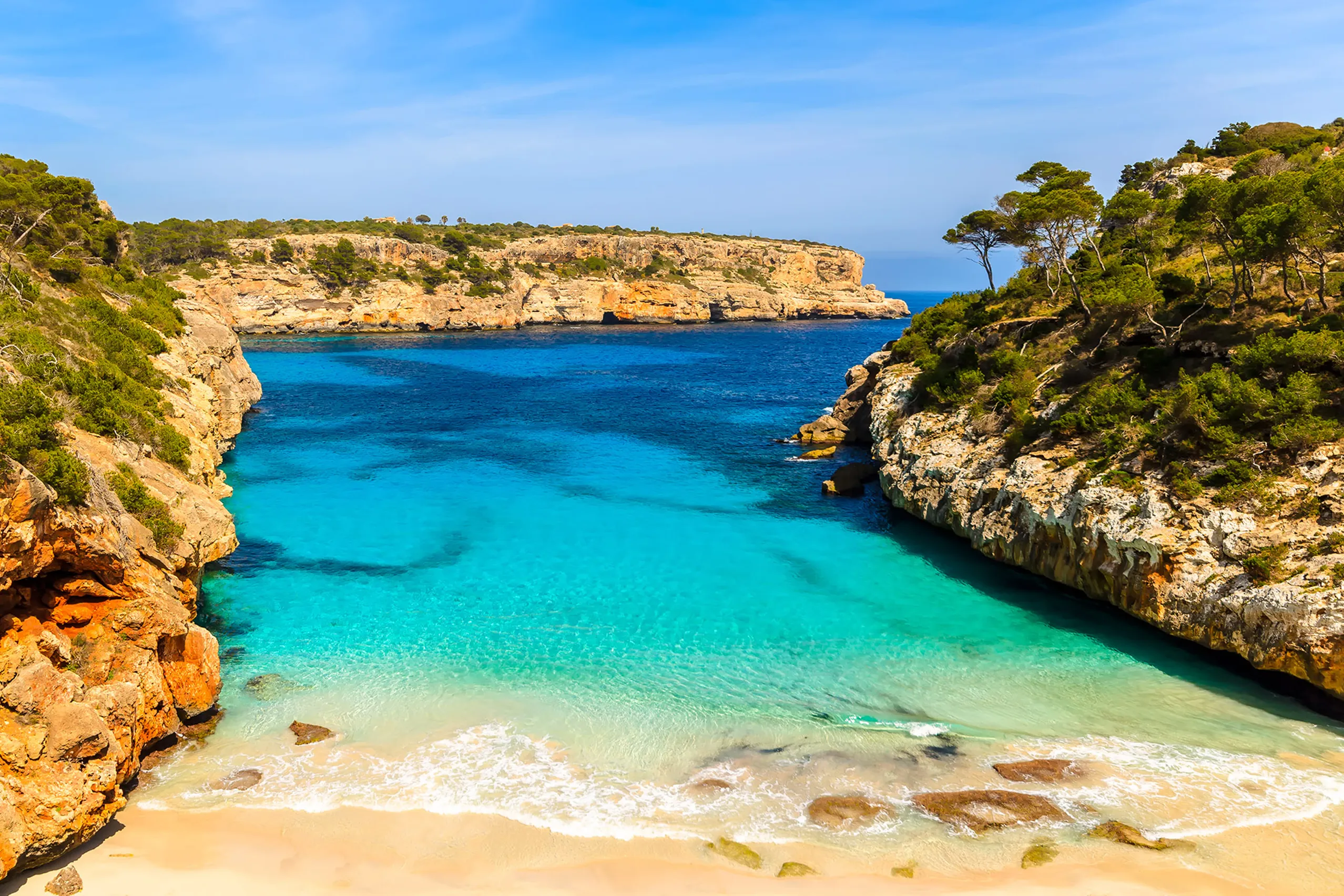
Caló des Moro
One of Mallorca's best-known small coves, with turquoise water below steep rocky sides. Reaching the tiny sandy area involves rough paths and a demandin…
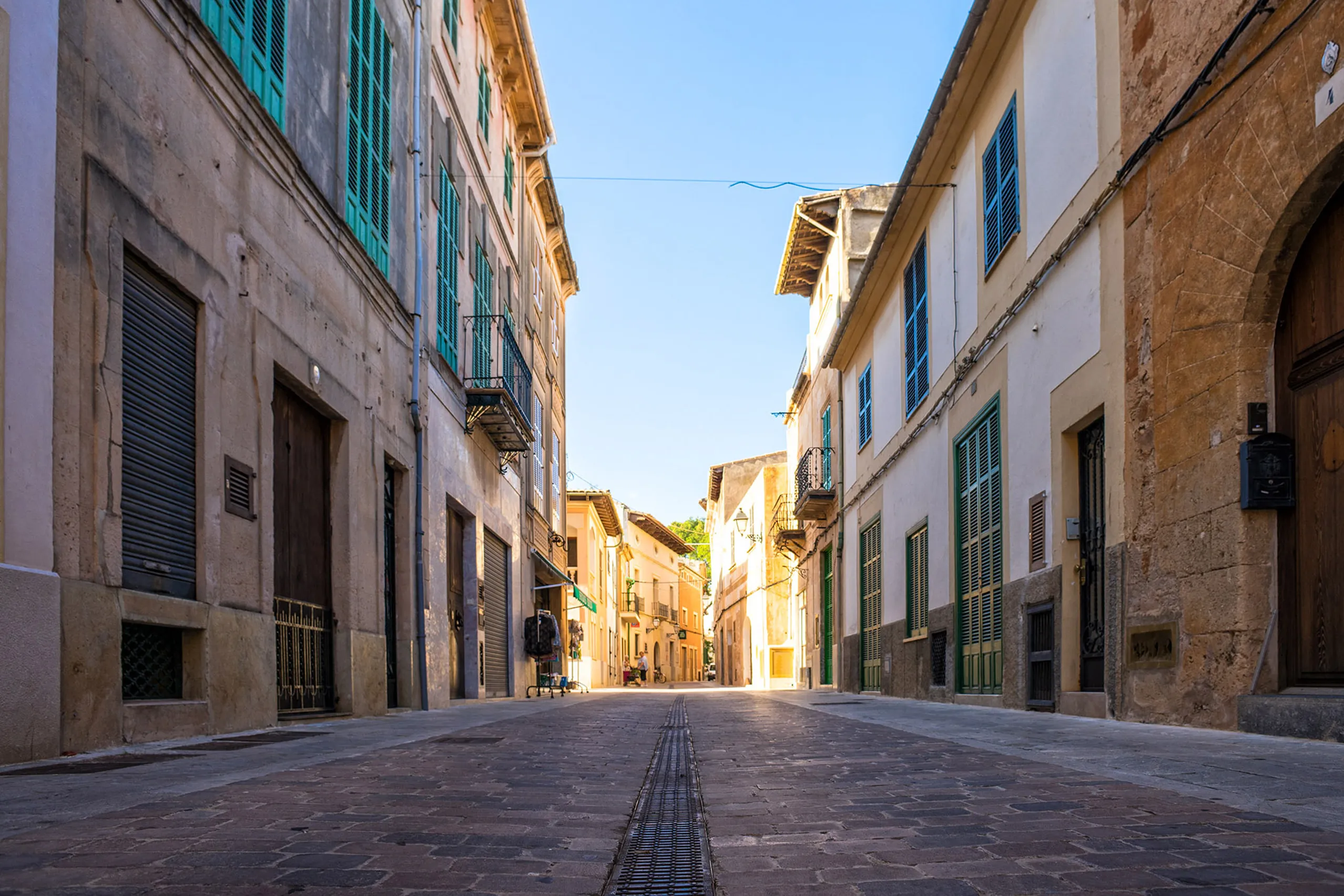
Campos
A farming town in the south, with golden sandstone streets and a long connection to dairy farming, capers and vegetables. Many visitors pass through on…
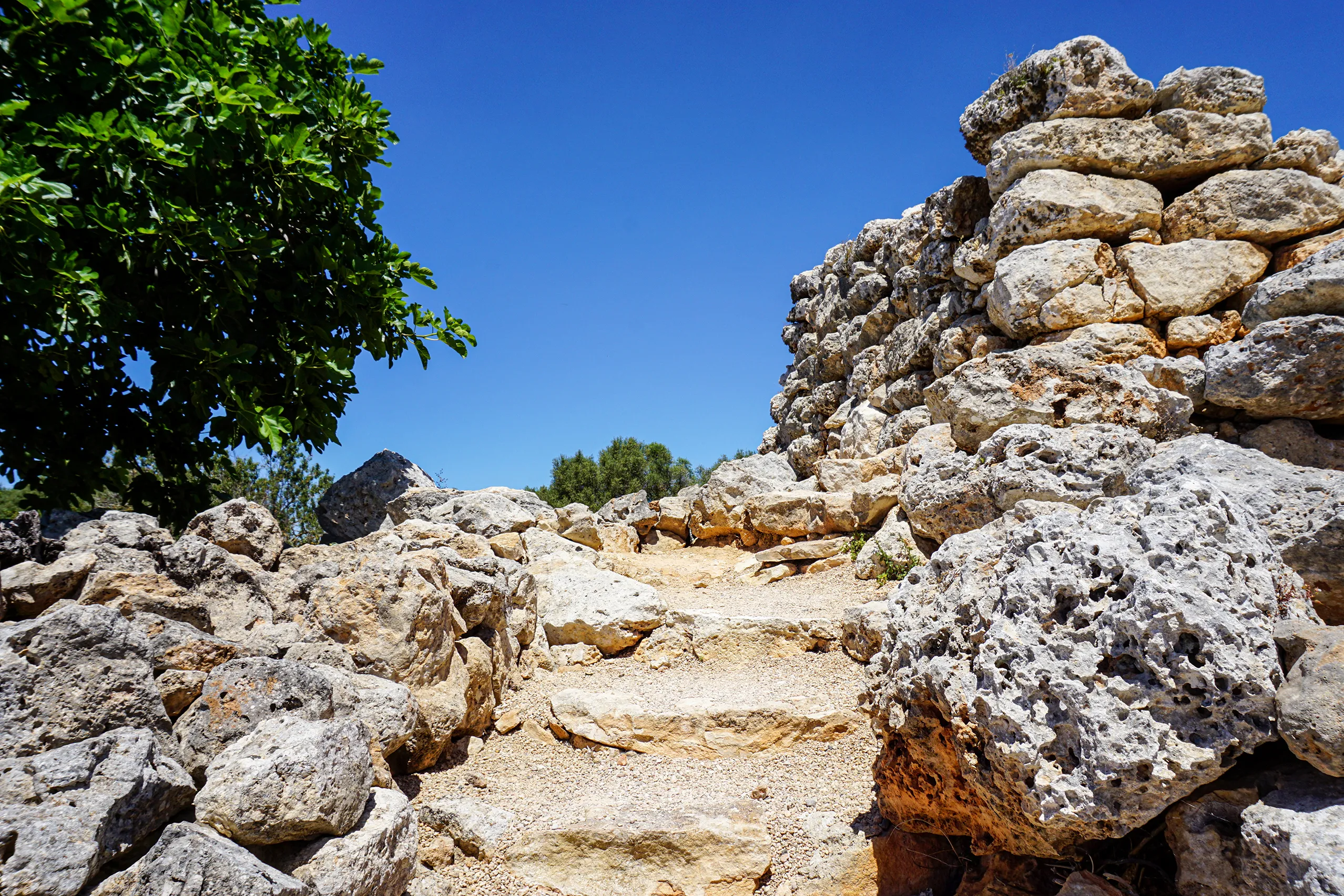
Capocorb Vell
A Talayotic settlement beside the south-coast road, with five massive dry-stone towers and the outlines of twenty-eight houses. Follow the paths between…
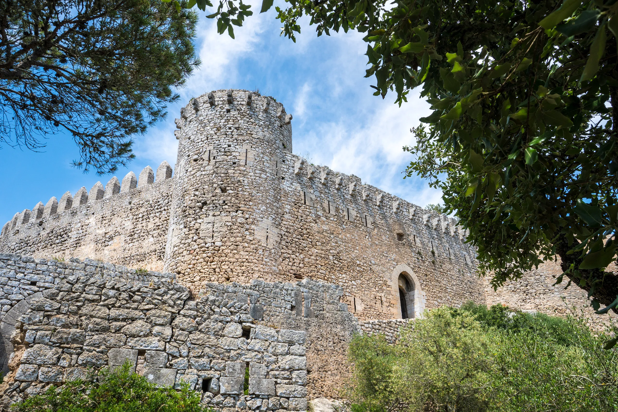
Castell de Santueri
A rocky hilltop fortress 408 metres above sea level near Felanitx, its walls rising directly from the cliff edge. Explore the ruins and cistern, then lo…
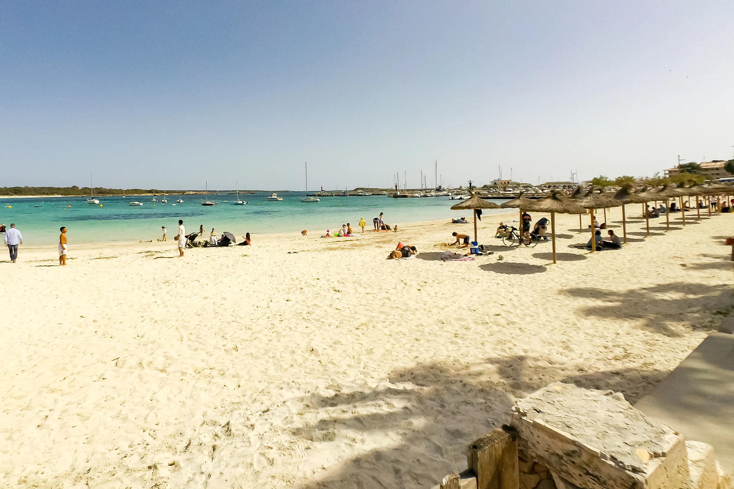
Colònia de Sant Jordi
A former fishing harbour in southern Mallorca, now a holiday resort with several beaches close by. Boats leave for Cabrera, and you can walk along the c…
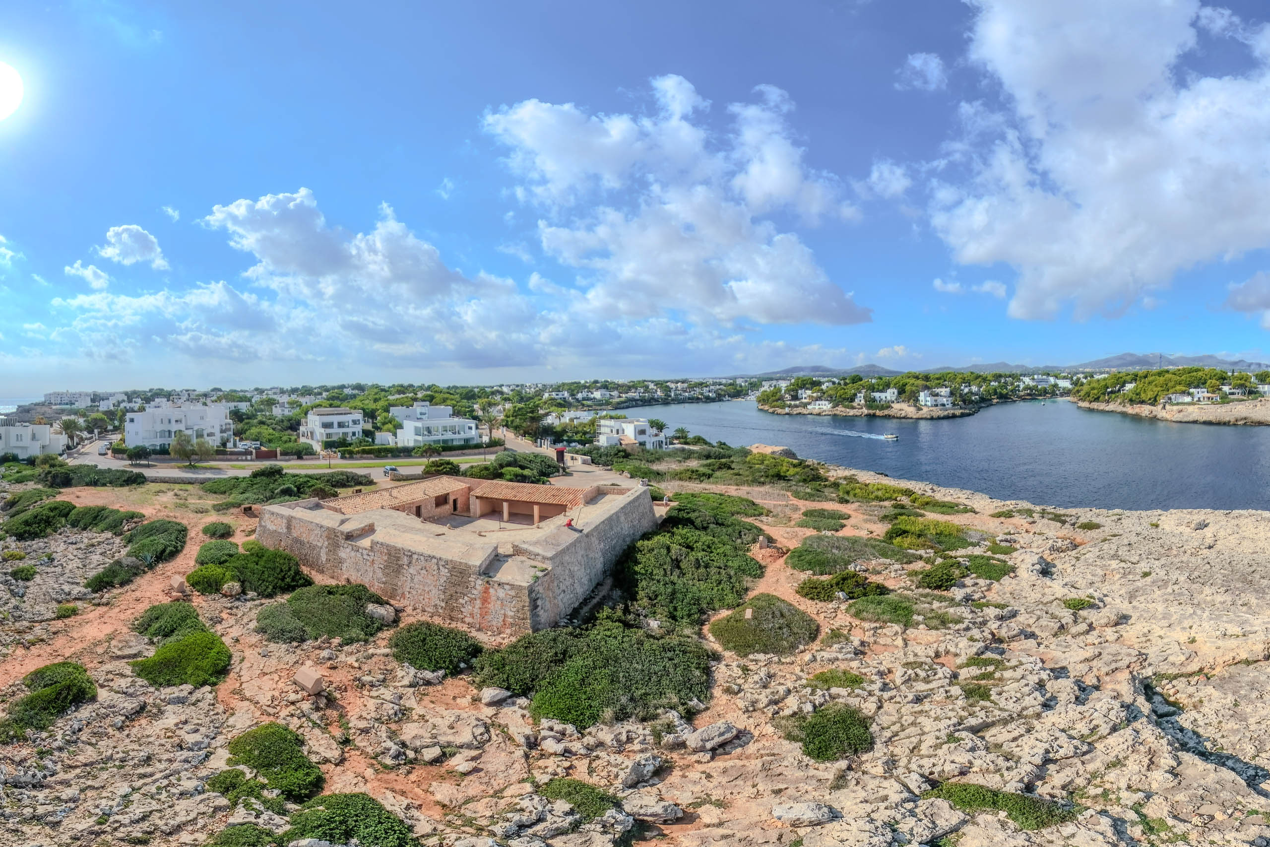
Es Fortí
Es Fortí stands on the rocky headland at the entrance to Cala Llonga in Cala d’Or. Behind its thick walls is a small courtyard, with a ramp leading up t…
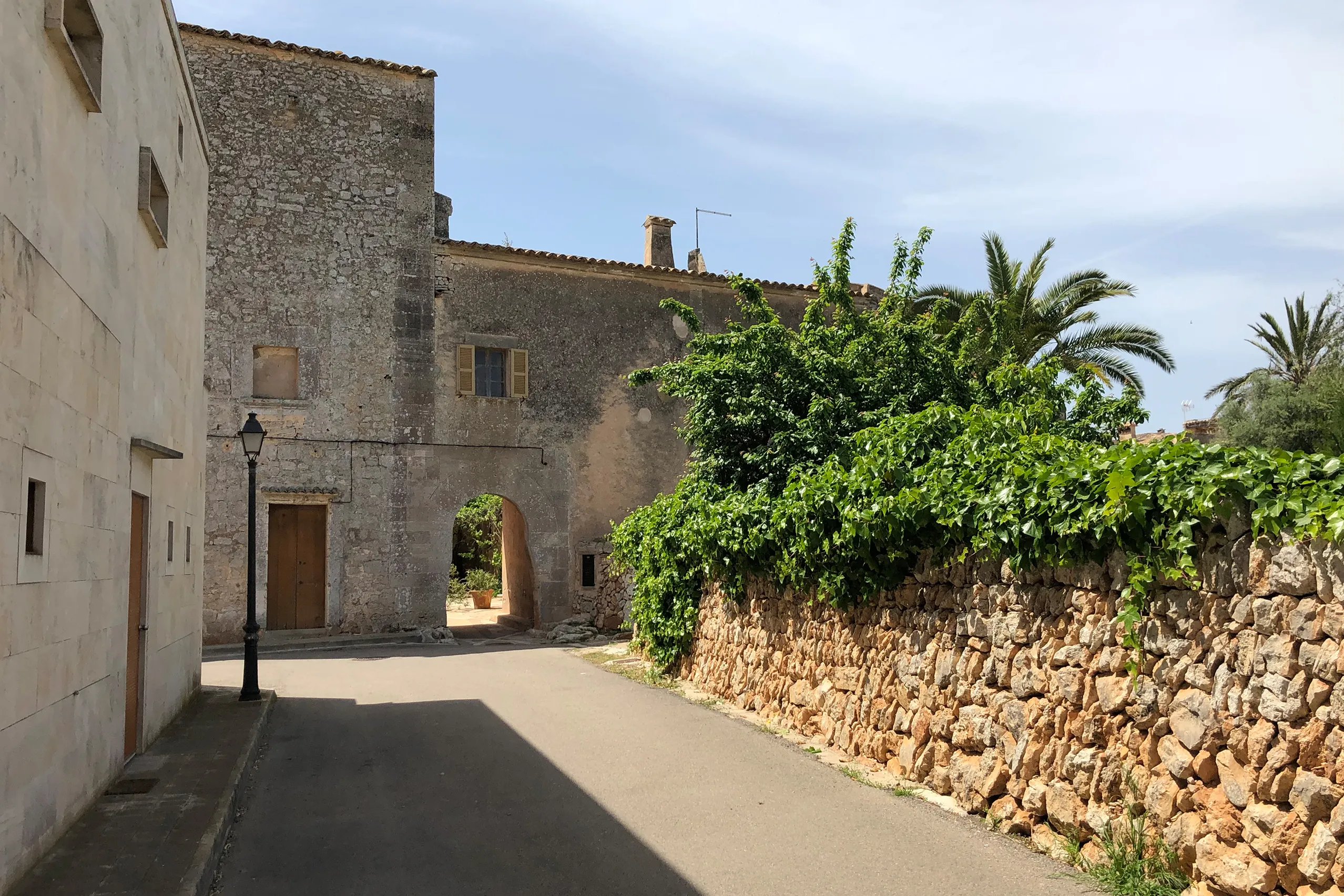
Es Llombards
A village of six hundred people between Santanyí and Mallorca’s southern tip, built from local sandstone. A few lanes, an arched gateway and dry-stone w…
Es Trenc
Pale sand, dunes and turquoise water: Es Trenc lies on Mallorca’s south coast between Ses Covetes and Colònia de Sant Jordi. Behind the beach are the Sa…
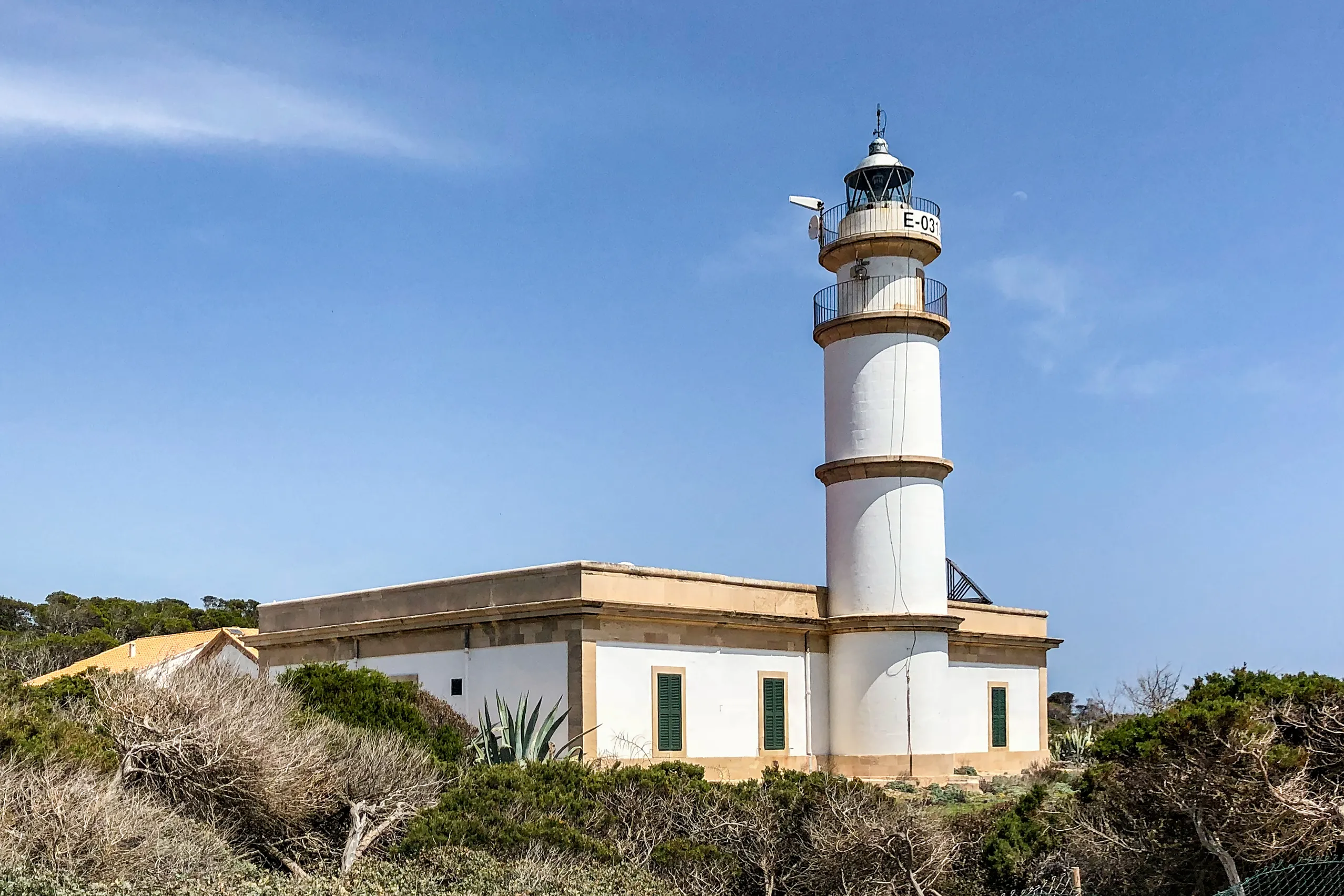
Far des Cap de ses Salines
Mallorca’s southernmost point has a lighthouse built in 1863, flat coastal rocks and open sea, with the uninhabited island of Cabrera on the horizon. Th…
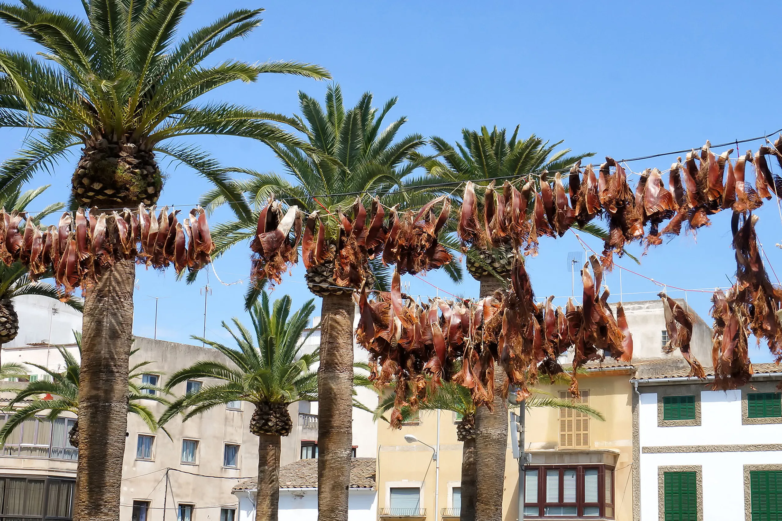
Felanitx
A working town in the east, with a church above a broad flight of steps, locally grown capers and wine, and two hills rising beyond it, Sant Salvador an…
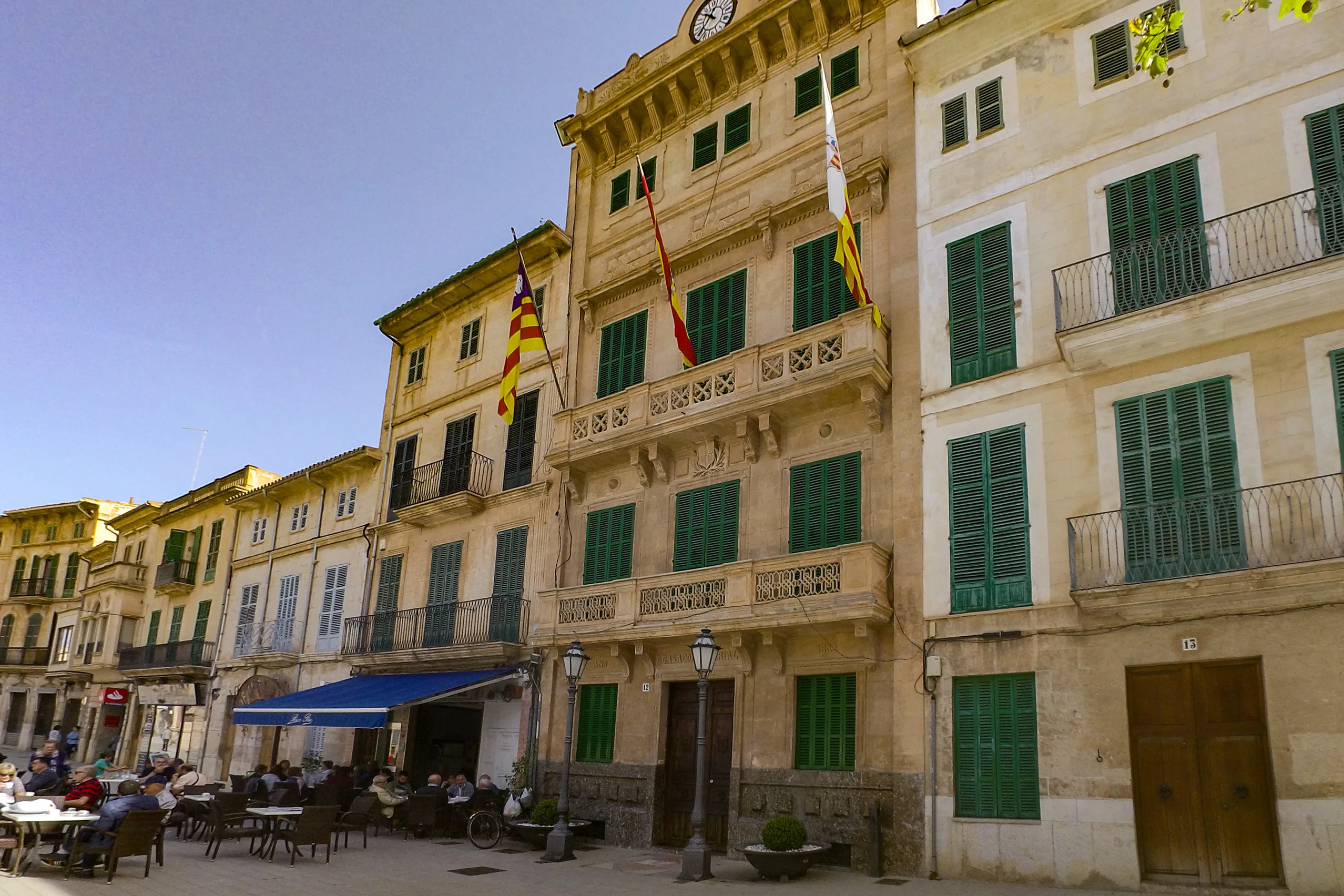
Llucmajor
The independent Kingdom of Mallorca ended on the fields outside this town in 1349. Today Llucmajor is a working town with broad squares shaded by plane…
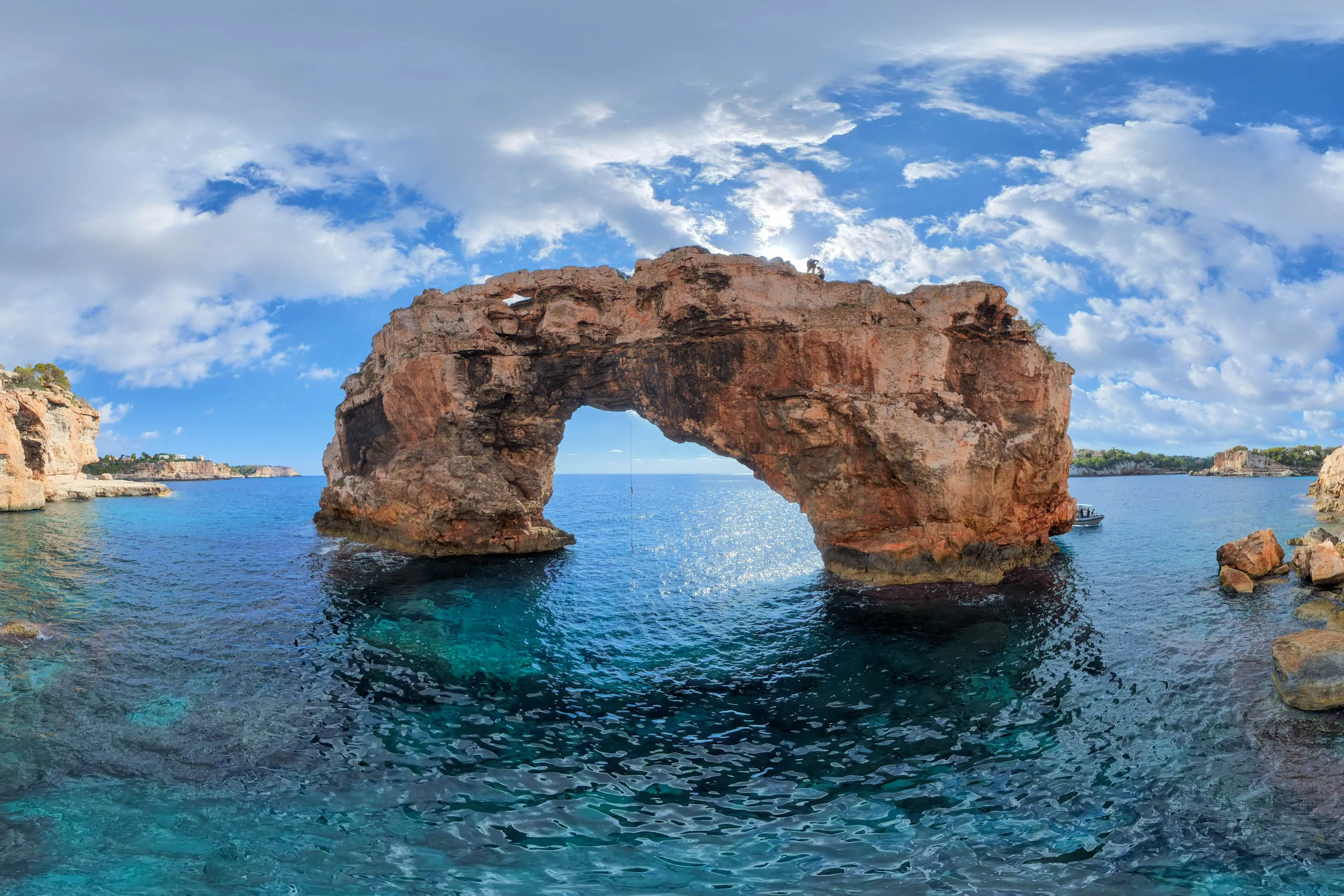
Mirador Es Pontàs
A freestanding rock arch in the sea, one of the south-east coast’s best-known views. The viewpoint lies between Cala Santanyí and Cala Llombards, costs…
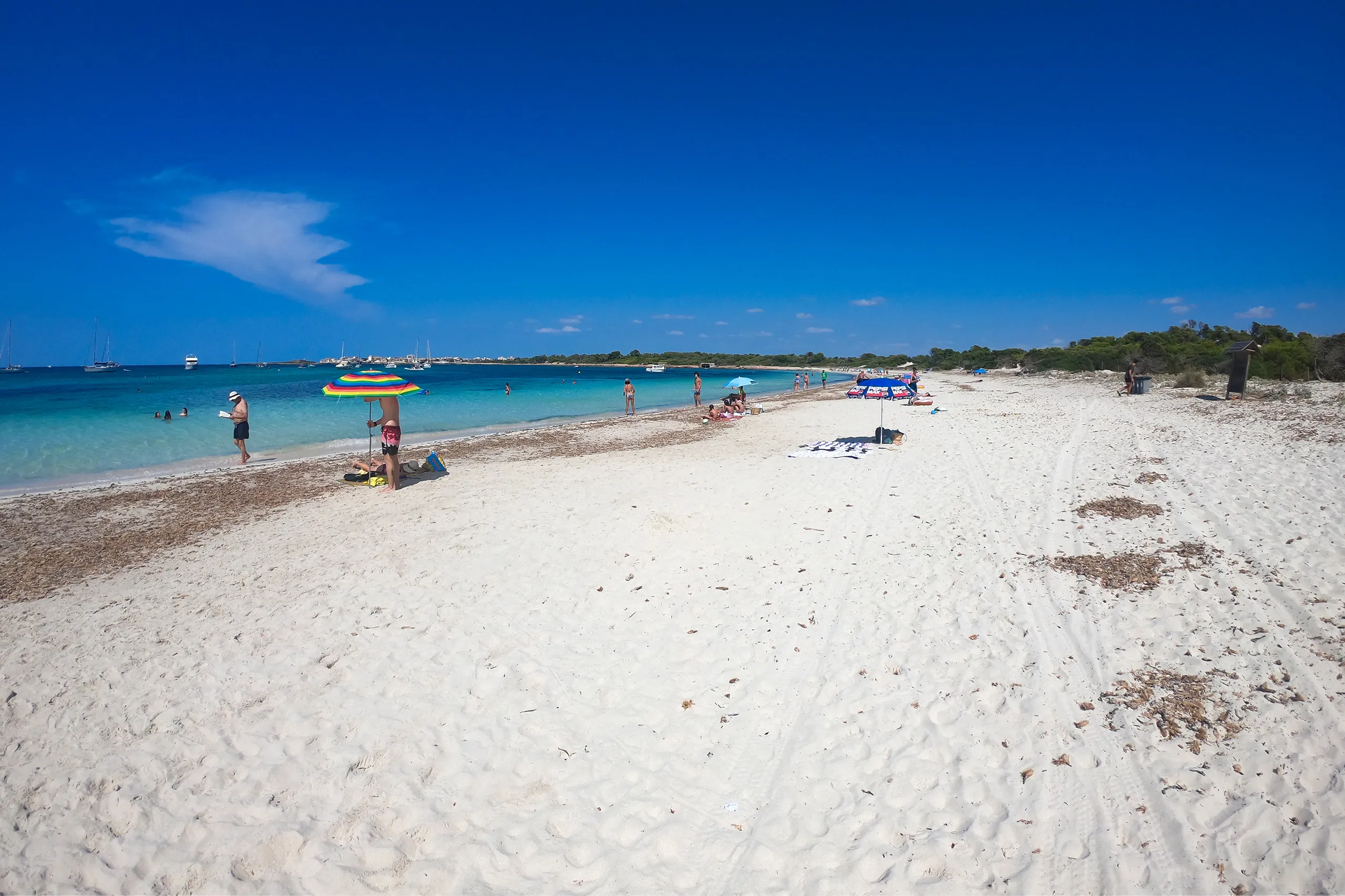
Platja des Carbó
A strip of white sand between Colònia de Sant Jordi and Mallorca's southern tip, reached on foot or by boat. The water is clear enough to see the seabed…
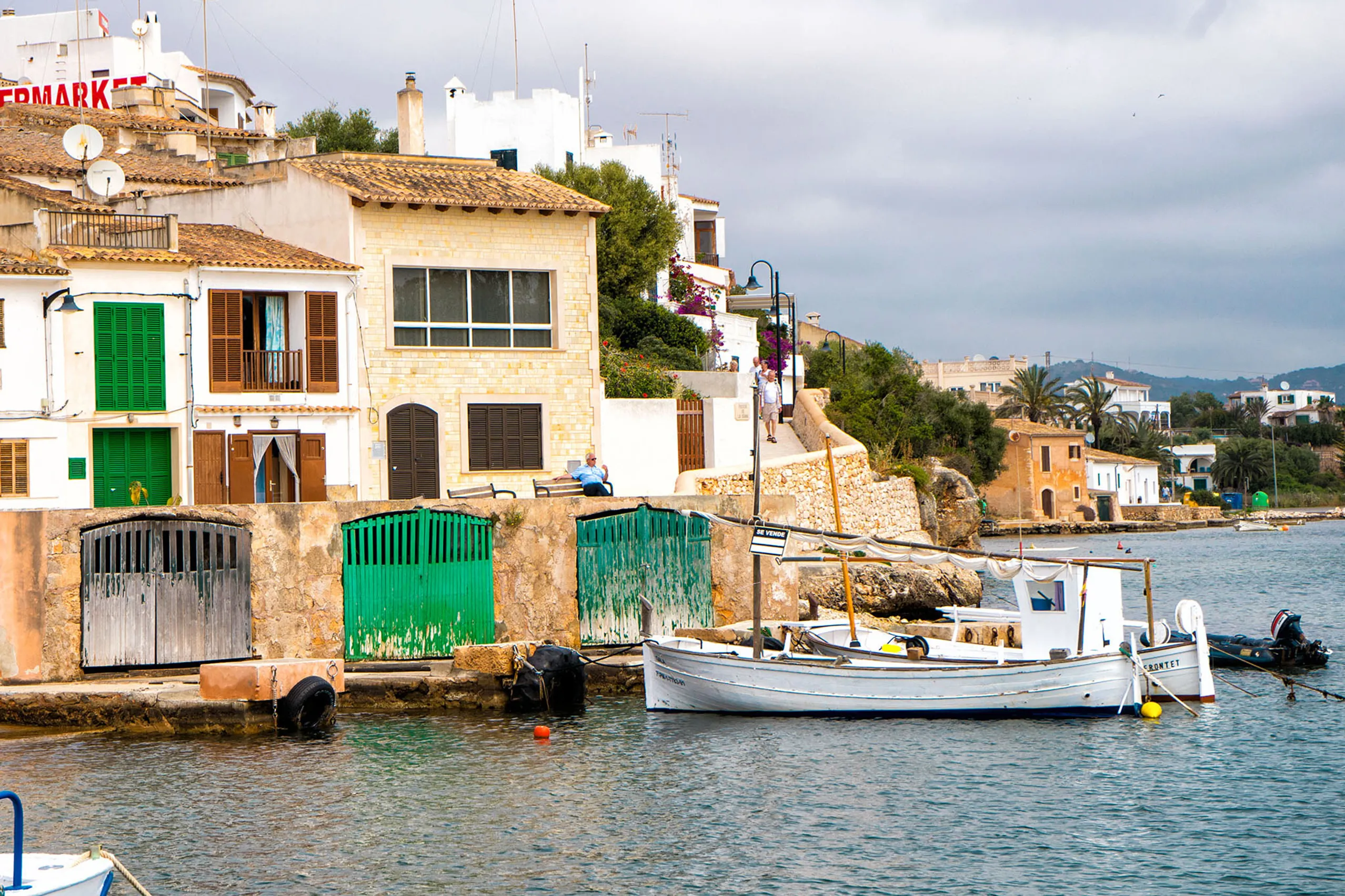
Porto Petro
A kilometre and a half from Cala d'Or, but a different world — a natural harbour where fishermen still unload their catch, small sandy coves and a quiet…
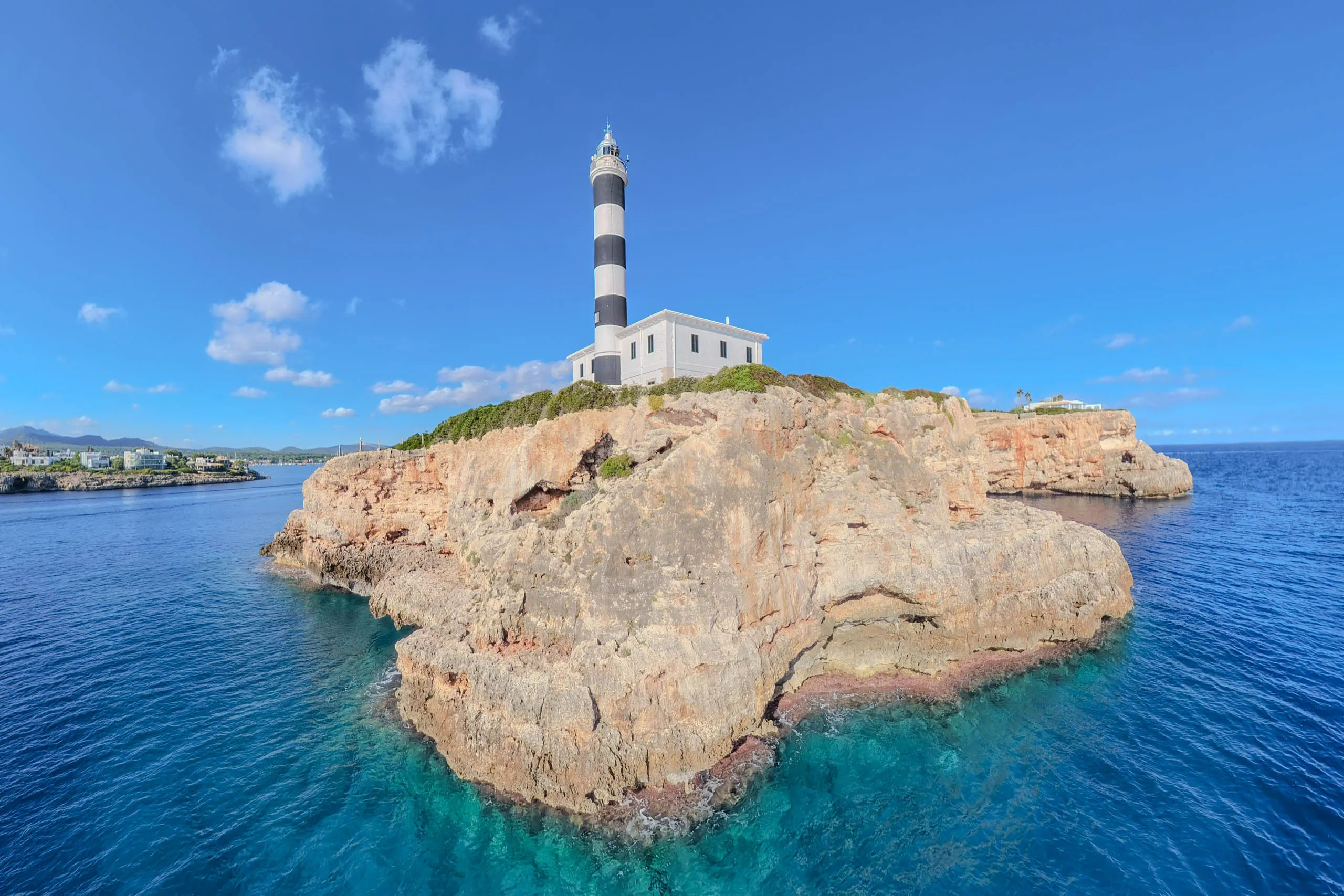
Portocolom
One of Mallorca's largest natural harbours, with a quieter atmosphere than many east-coast resorts. Fishing boats line up outside colourful boathouses,…
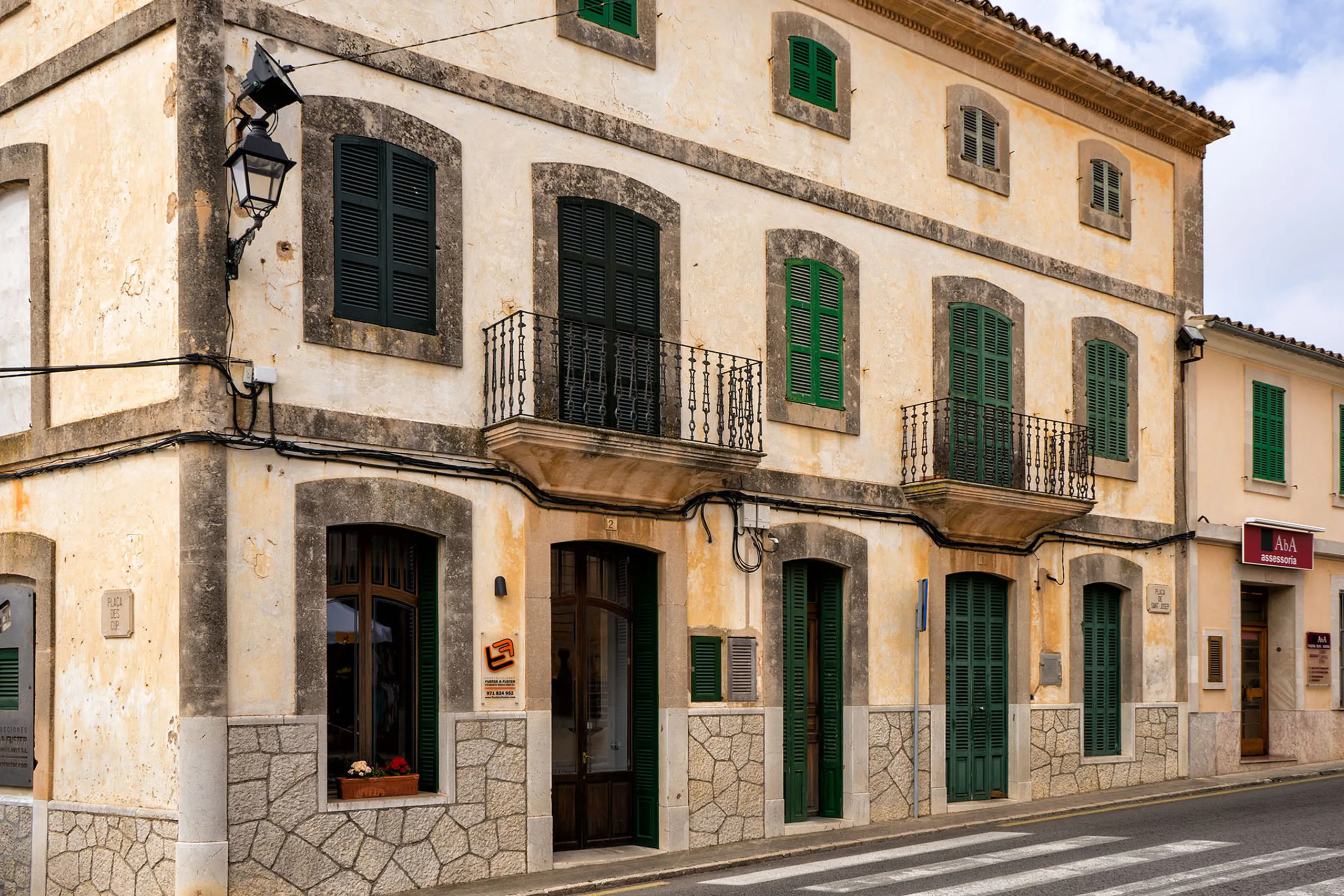
S'Alqueria Blanca
A quiet village between Santanyí and the coves that most people drive straight through. An unusually large church, a few sandstone lanes and the road up…
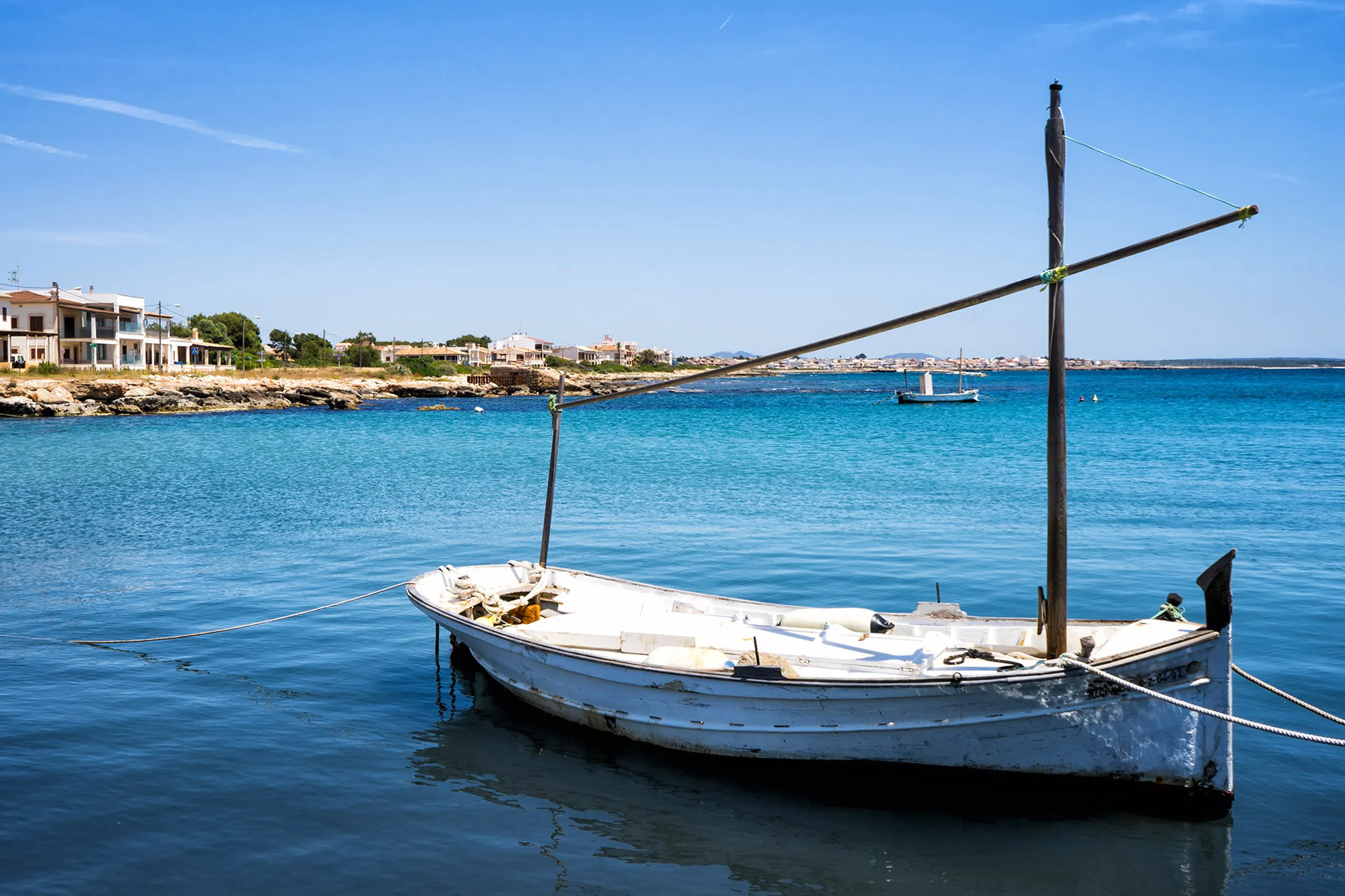
S'Estanyol de Migjorn
A small coastal settlement between Sa Ràpita and Palma bay, without hotels or a sandy beach. There is a marina, holiday homes, a shingle cove and a harb…
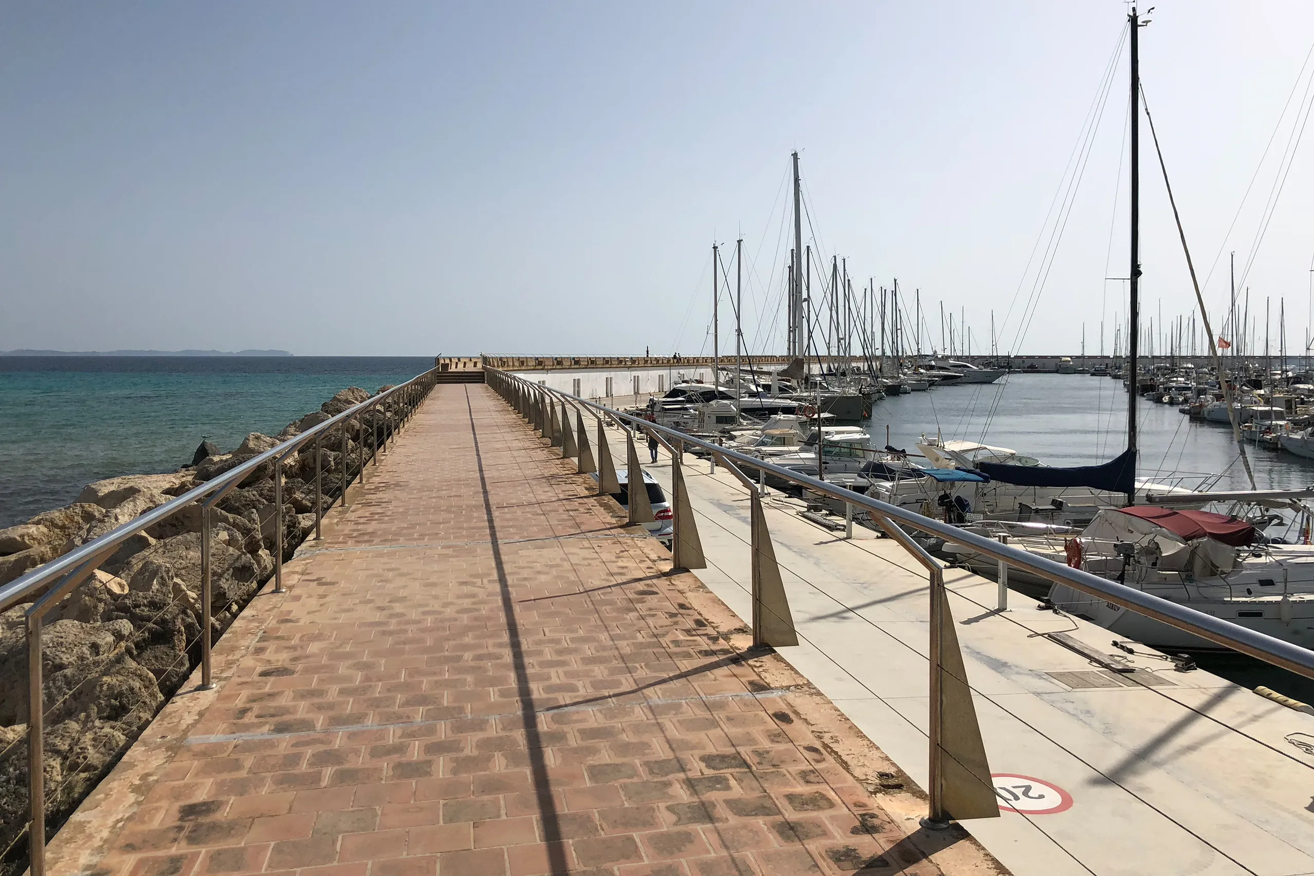
Sa Ràpita
A marina on the flat south coast, with an old watchtower and a beach strewn with seagrass rather than loungers. From here, you can walk along the shore…
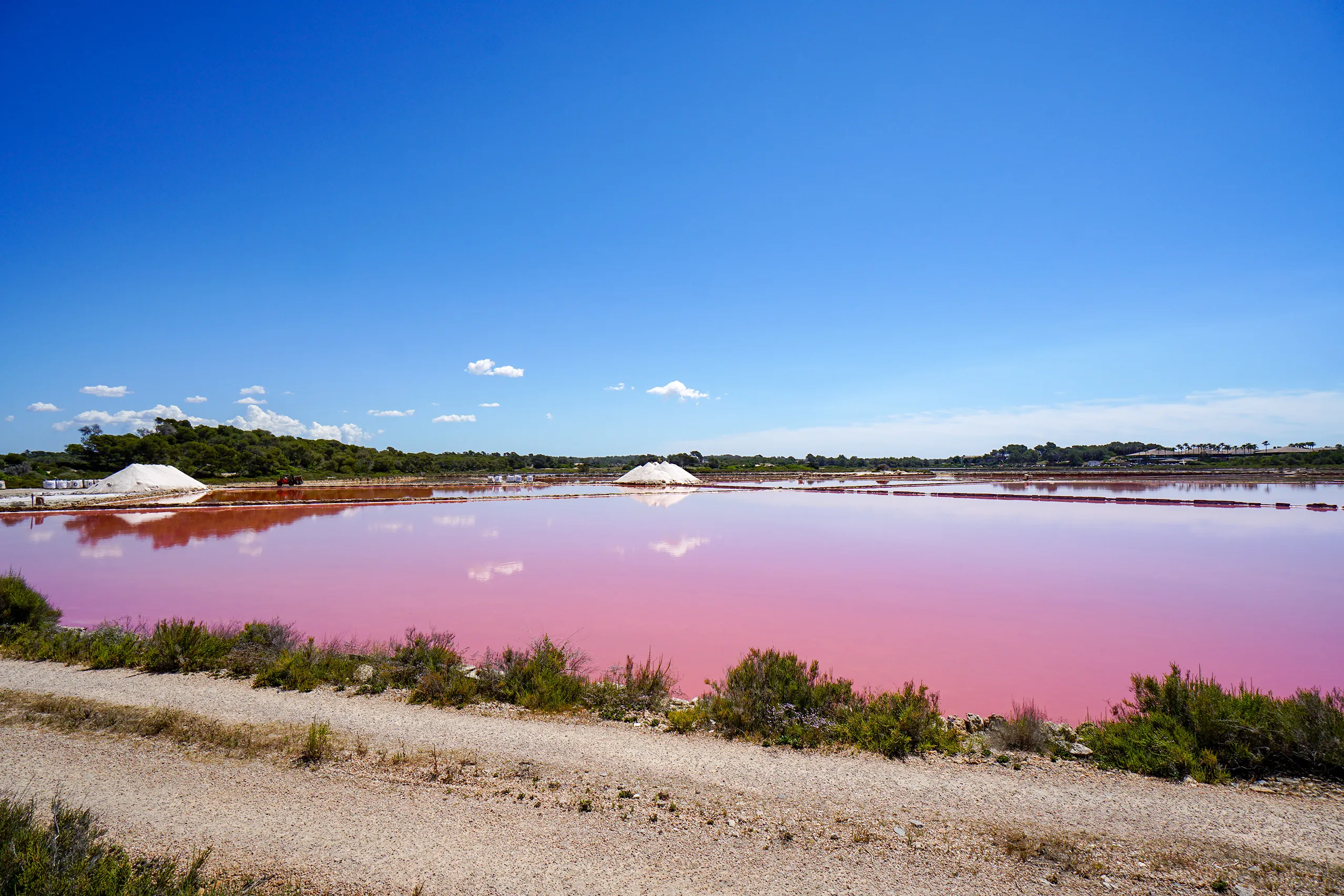
Salines d'Es Trenc
Around 170 hectares of salt pans between Campos and the coast produce roughly ten thousand tonnes of sea salt each year. The pools glow pink, flamingos…
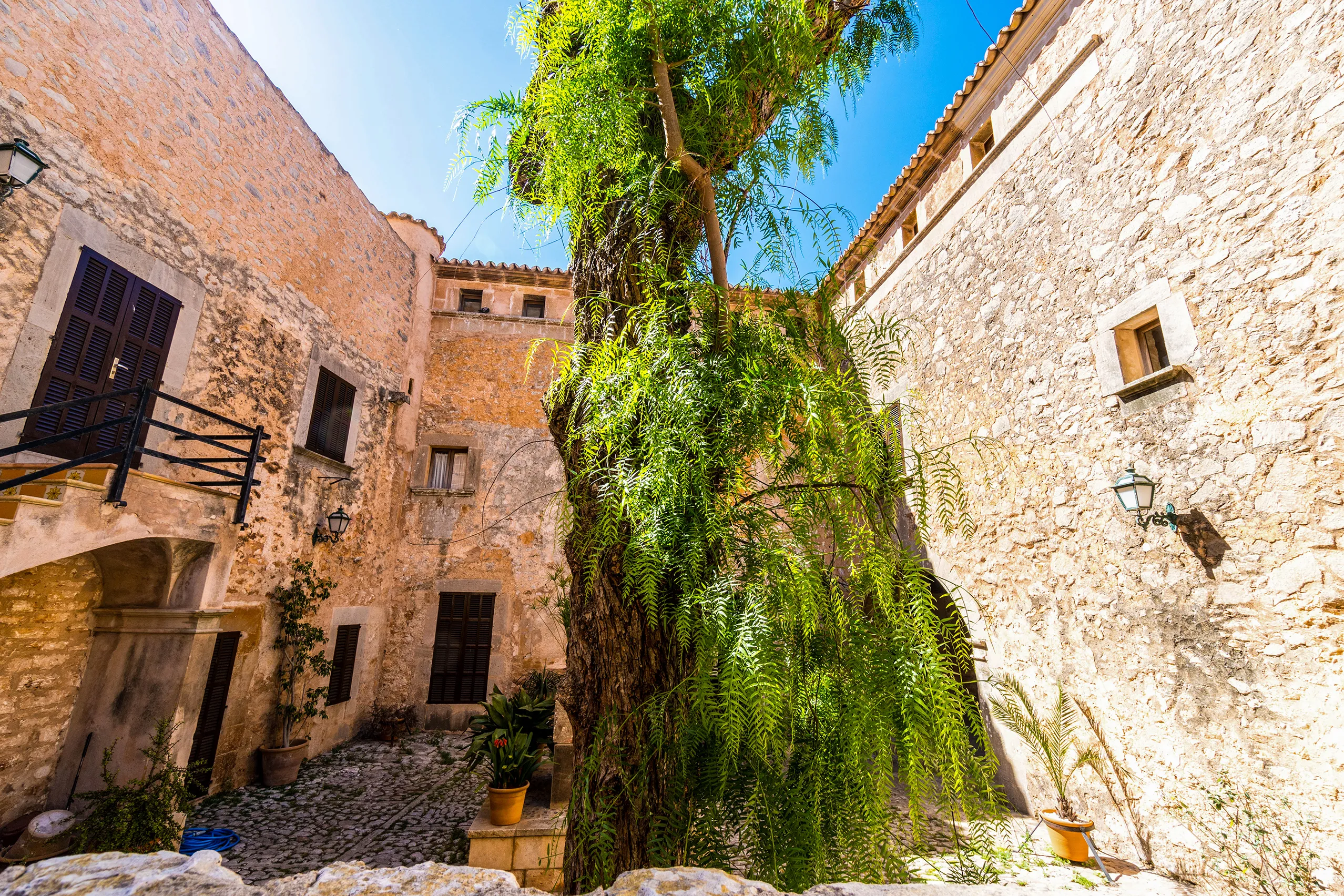
Santanyí
A town built from its own stone. Golden marès quarried locally has been used across Mallorca. There is a medieval town gate, a Baroque organ brought fro…
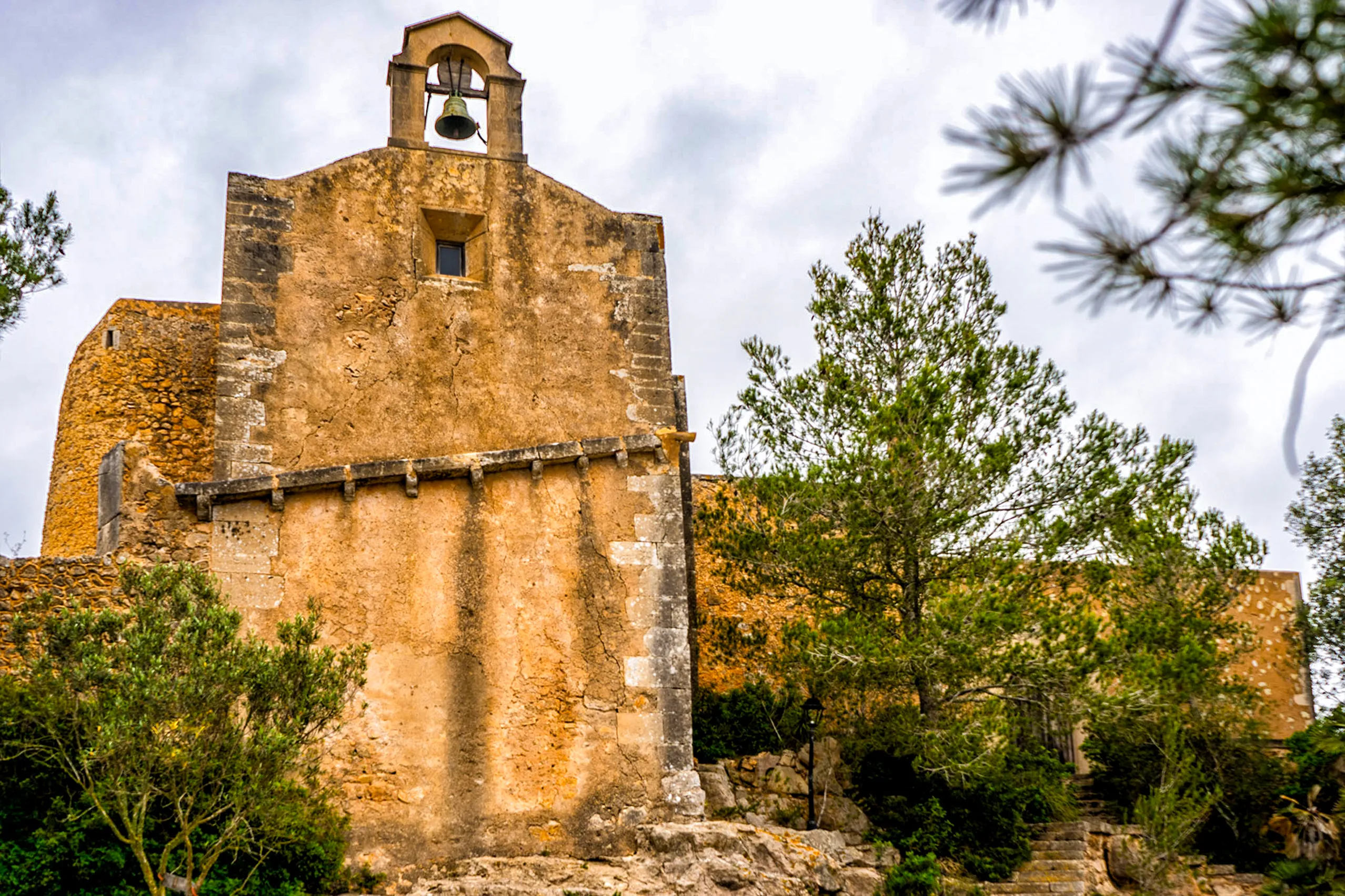
Santuari de la Consolació
A small 15th-century sanctuary on a 205-metre hill near S'Alqueria Blanca, rarely busy and with views over the east coast. Getting up is the challenge —…
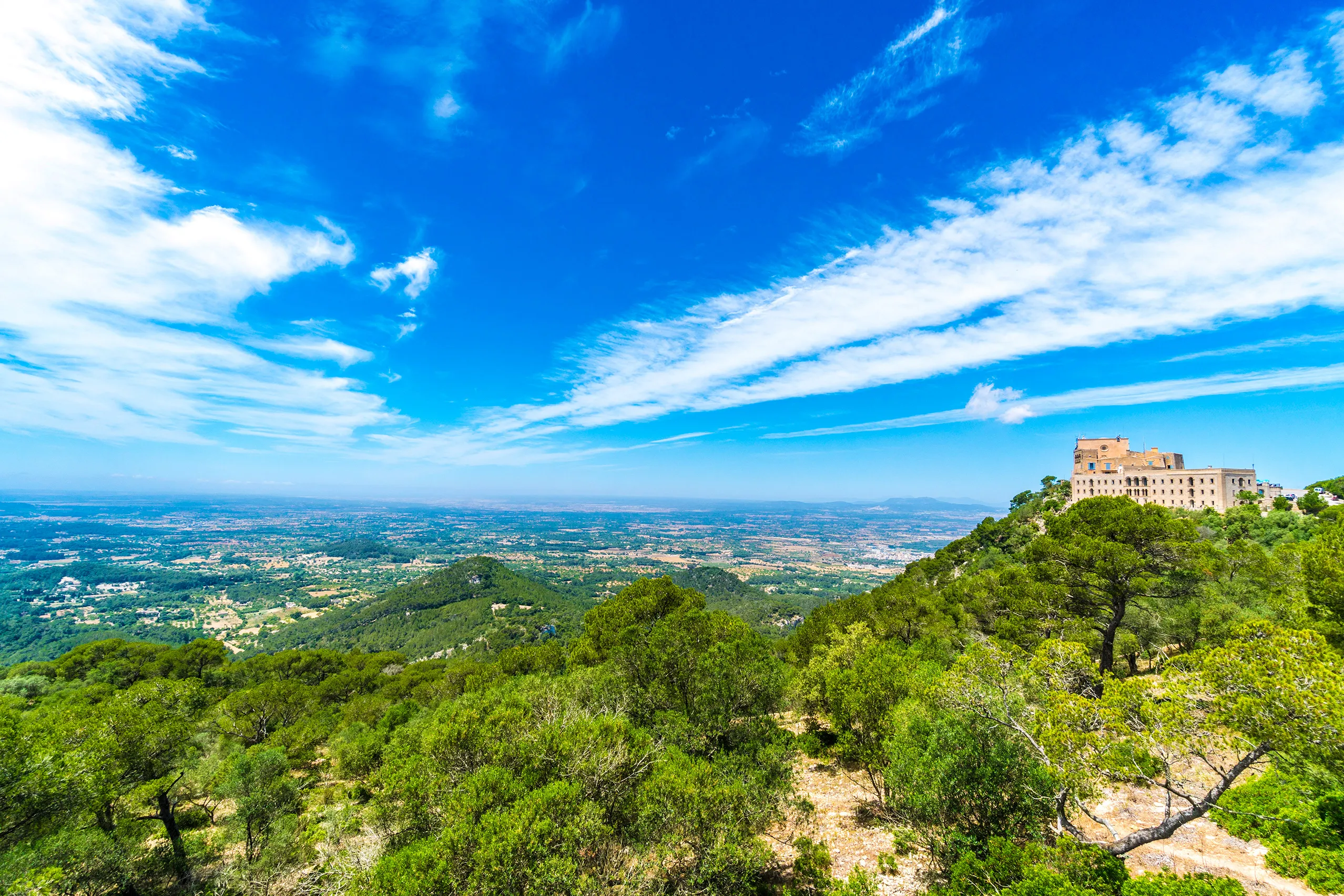
Santuari de Sant Salvador
A pilgrimage church has stood here since 1348, 509 metres above Felanitx at the southern end of the Serra de Llevant. Today there are guest rooms, a res…
Ses Covetes
A small coastal settlement at the western end of Es Trenc, giving access to the natural beach. The unfinished apartment blocks were demolished in 2013.
Ses Salines
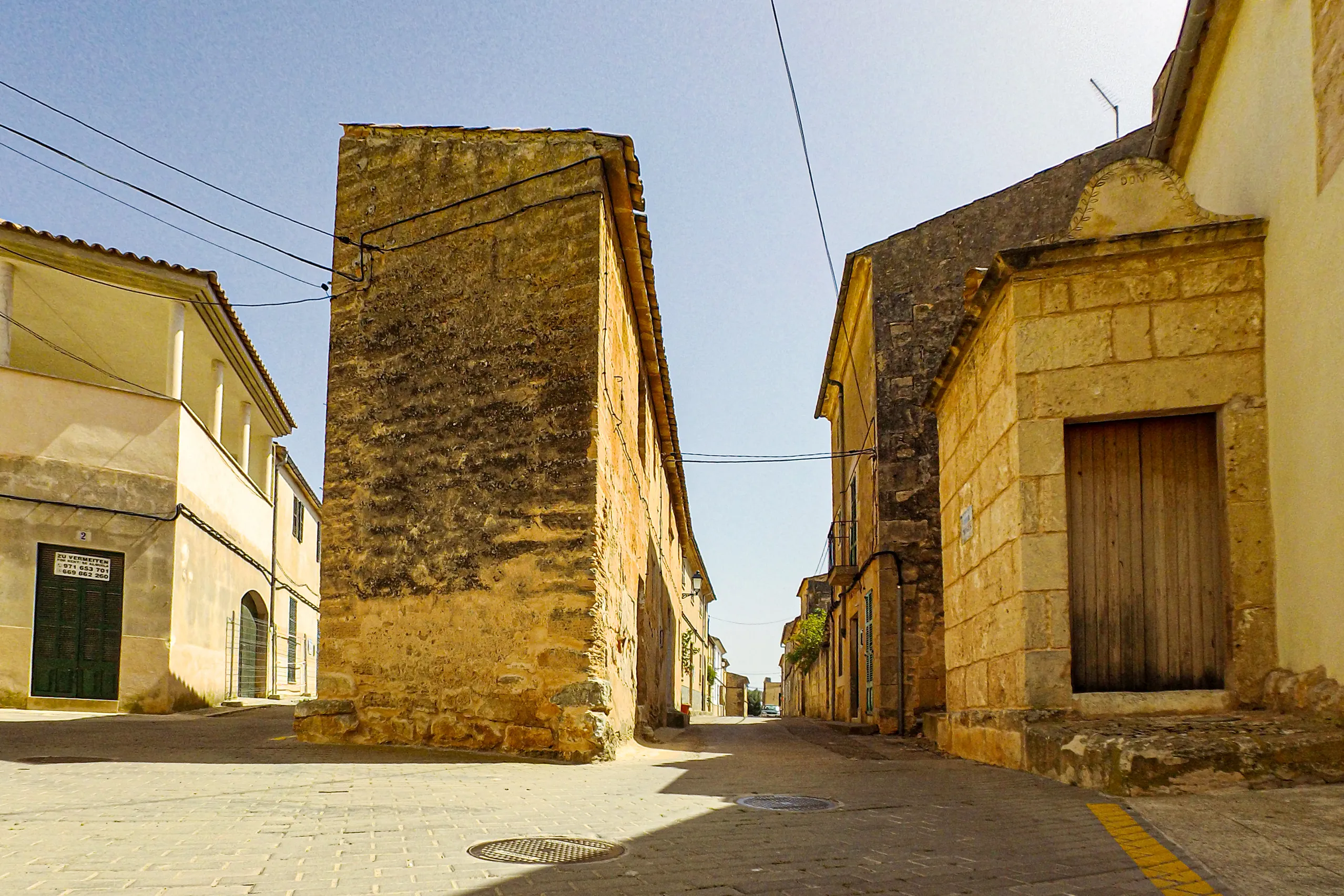
A village of golden sandstone on the road to Mallorca's southern tip, named after the coastal saltworks. In the centre, a lane forks around a tall windo…
Where it is
Migjorn on Mallorca
- In Mallorca Fritz
- 33
- Places to explore
- Town: 3, Inland village: 3, Seaside resort: 8, Cove: 10, Small village: 1, Place to visit: 8
- By the sea
- 18 of 33 places
- Largest place
- Llucmajor , 38,000 residents
- Highest place
- Santuari de Sant Salvador , 509 m above sea level
- Area
- About 21% of the island
All 33 places in the region Open Google Maps
The shaded area is not an administrative boundary. Mallorca’s comarques have no officially defined boundaries. It shows which part of the island is closest to this region’s places, calculated from the coordinates in the place guides.