Serra de Tramuntana
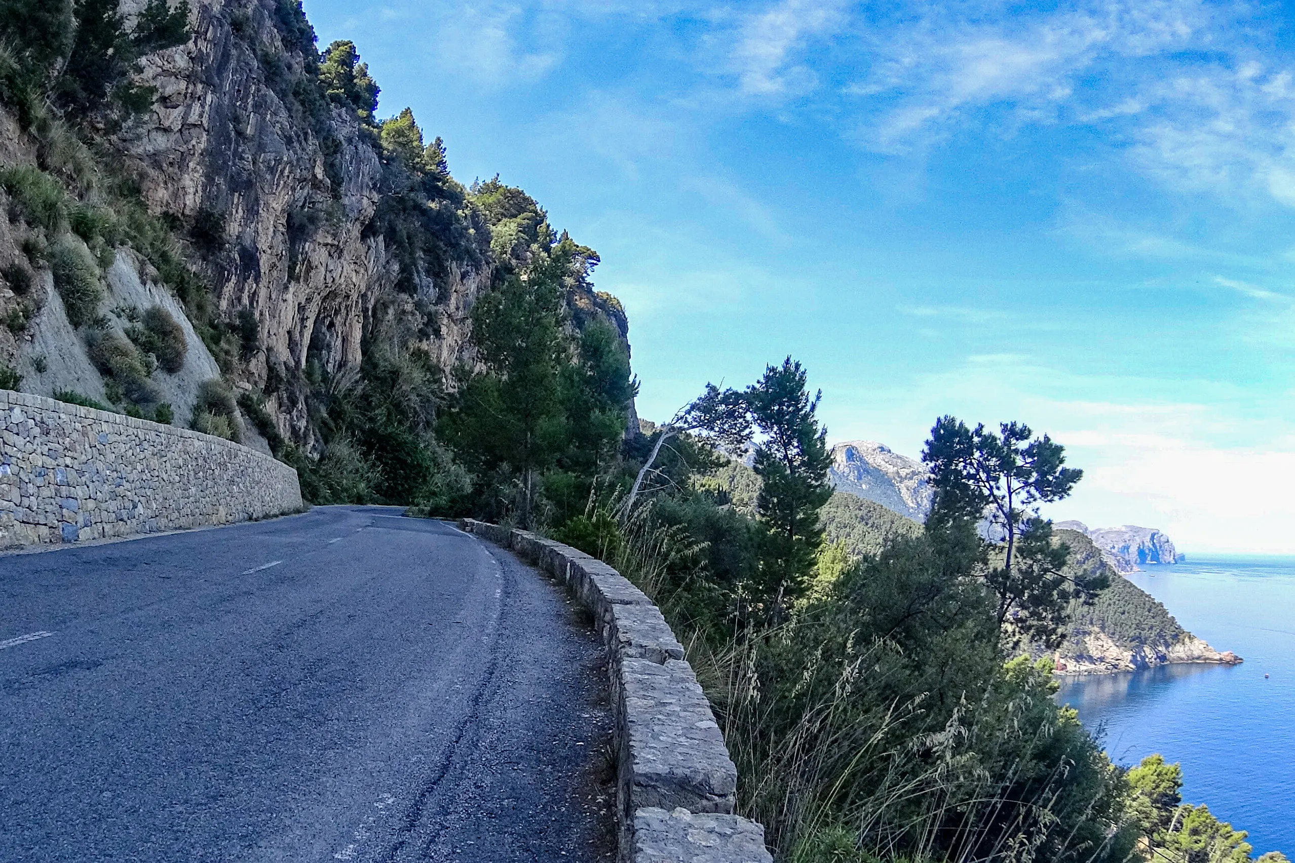
The Ma-10 on the west coast. Between the rock and the steep slope, there is just enough space for two lanes.
The mountains follow Mallorca’s north-west coast for around 90 km, from Cap de Formentor to Andratx. The region covers thirteen municipalities: mountain villages, the Formentor peninsula in the north, and the resorts of Calvià and Andratx in the south-west. This is where you’ll find the island’s highest peaks, some wonderful roads and many of the villages people come to Mallorca to see.
What makes the Tramuntana special
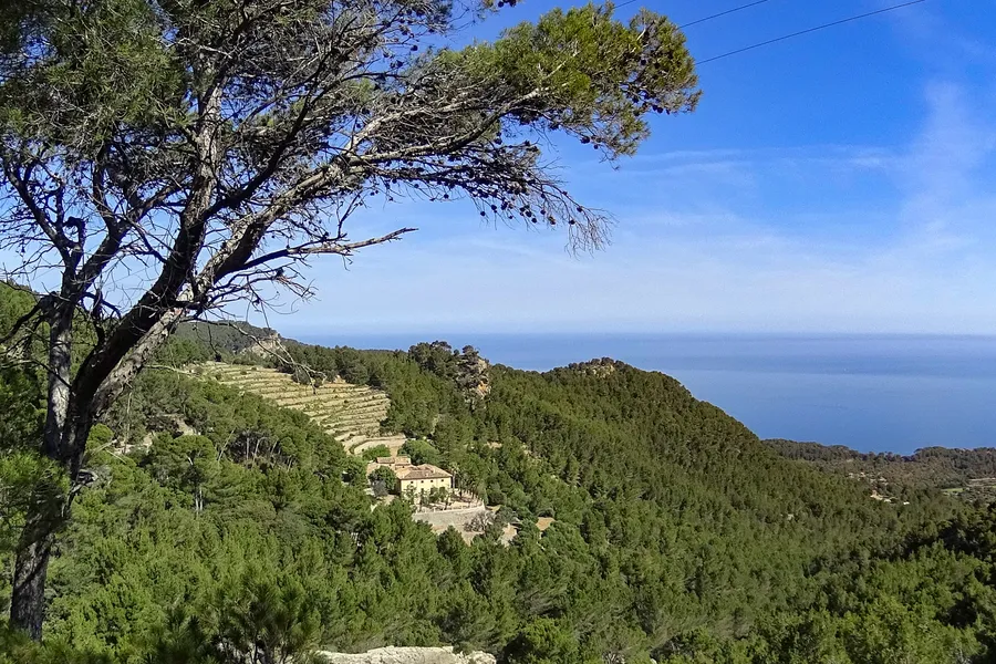
The range reaches 1,445 metres at Puig Major, with steep slopes dropping towards the sea on its western side. Between them lie valleys where oranges and olives have grown for centuries. The Serra de Tramuntana became a UNESCO World Heritage Site in 2011 as a cultural landscape. The recognition includes the work of generations of islanders: dry-stone terraces across the hillsides and irrigation systems with roots in the Islamic period, some still in use today.
Villages and towns to explore
Valldemossa has the monastery where Chopin spent a winter. Deià has long attracted writers and artists, while Fornalutx is known for its carefully kept stone houses and lanes. Sóller is the main town in the mountains, with its railway, tram and history of orange trading. There are also Banyalbufar and Estellencs on the terraced western coast, Orient in its upland valley, and Lluc, an important place of pilgrimage.
There’s a coast here too
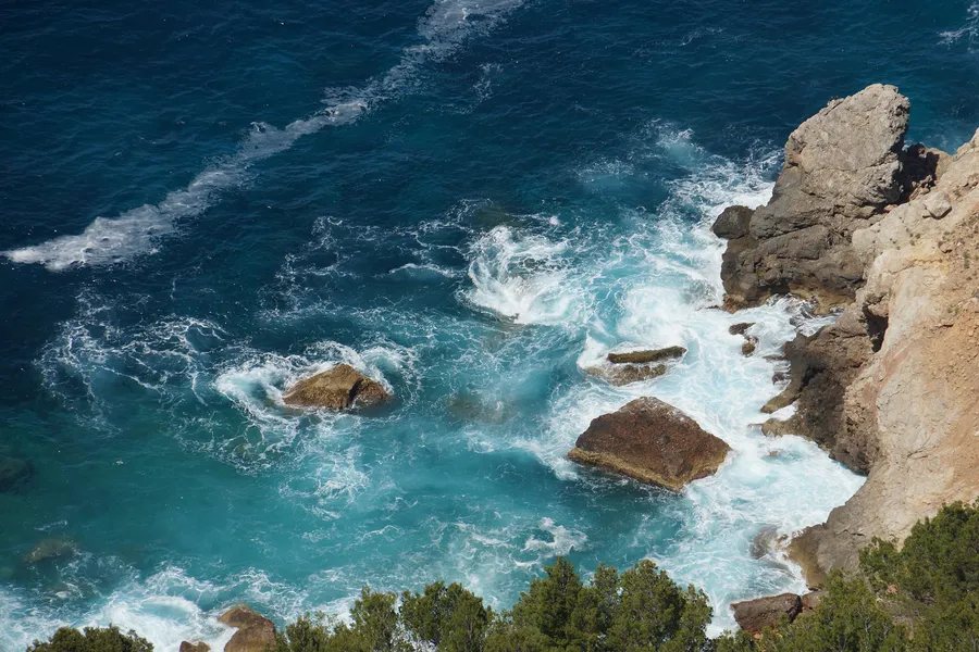
The region also takes in two stretches of coast you might not immediately associate with the mountains. In the north are the Formentor peninsula, Port de Pollença, Cala de Sant Vicenç and the road to the lighthouse. In the south-west are Calvià and Andratx, including Peguera, Santa Ponça, Palmanova, Camp de Mar, Port d’Andratx and Sant Elm. Several offer well-established resorts, shallow beaches and short walks to everyday facilities. Jaume I’s fleet landed at Santa Ponça in 1229, beginning the conquest of Mallorca.
When to come
March to May and October to November are good months for walking: the slopes are greener and the roads tend to be quieter. In high summer, traffic on the coastal road can be slow, village parking is scarce and the heat makes walking harder. Winter can bring snow on the high mountains, but also wonderfully clear views.
Walking and cycling
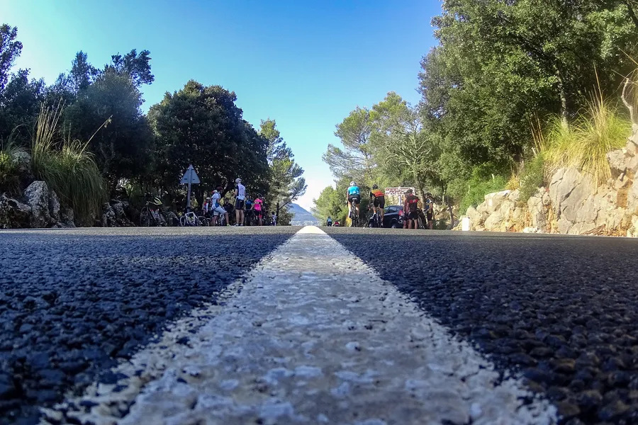
The GR 221, or Ruta de la Pedra en Sec, crosses the range in nine main stages from Port d’Andratx to Port de Pollença. The main route covers around 150 km, with a further 111 km of variants. The mountain passes are popular with road cyclists training in spring. From February to May, groups are a familiar sight on the Ma-10, particularly in the morning. If you’re driving, expect cyclists around the bends.
All the places in the region
Serra de Tramuntana: towns, coves and places to visit
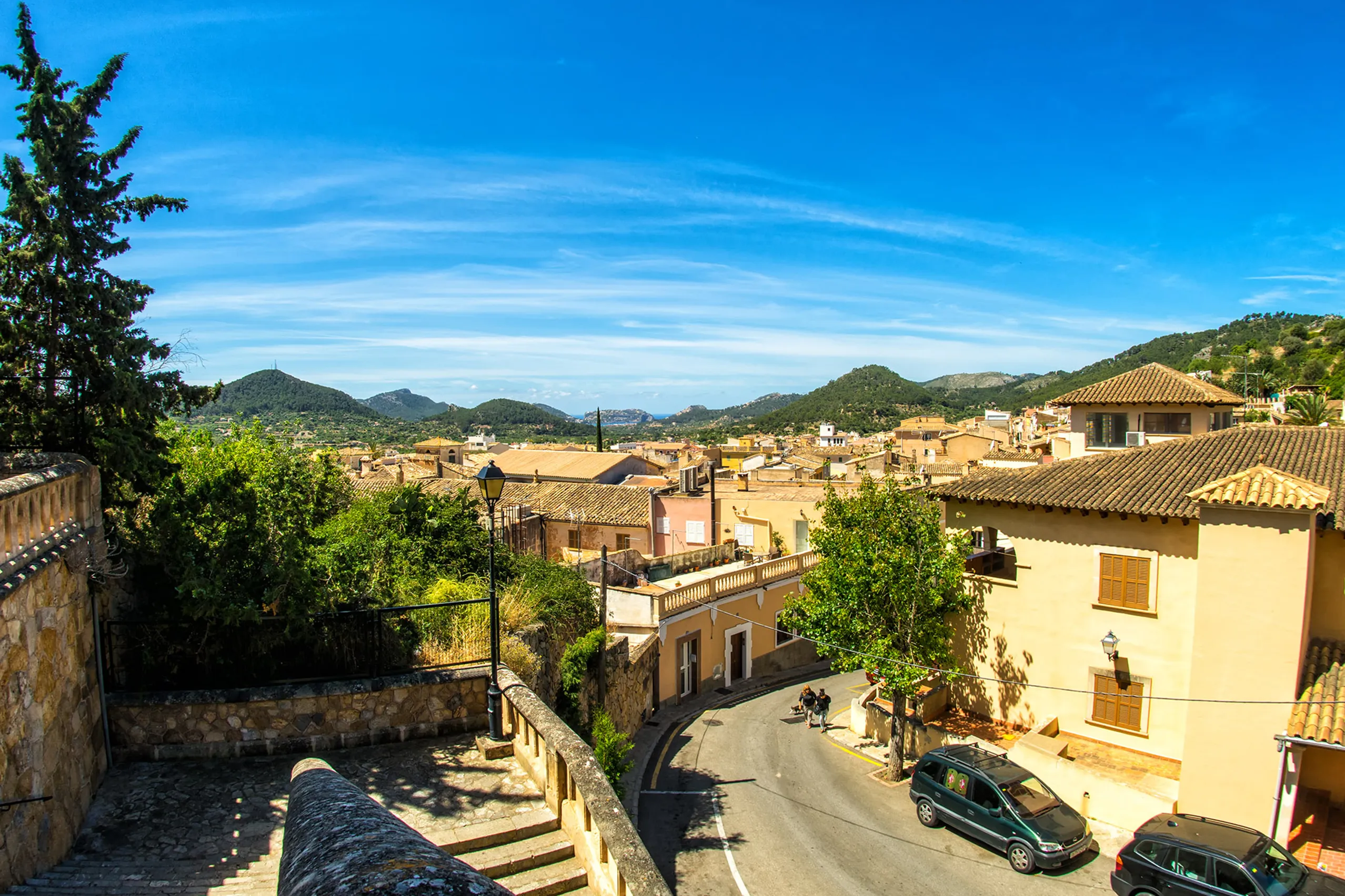
Andratx
The main town of the south-west was built inland from its harbour to keep it safer from corsair raids. Sandstone houses climb the hillside towards a for…
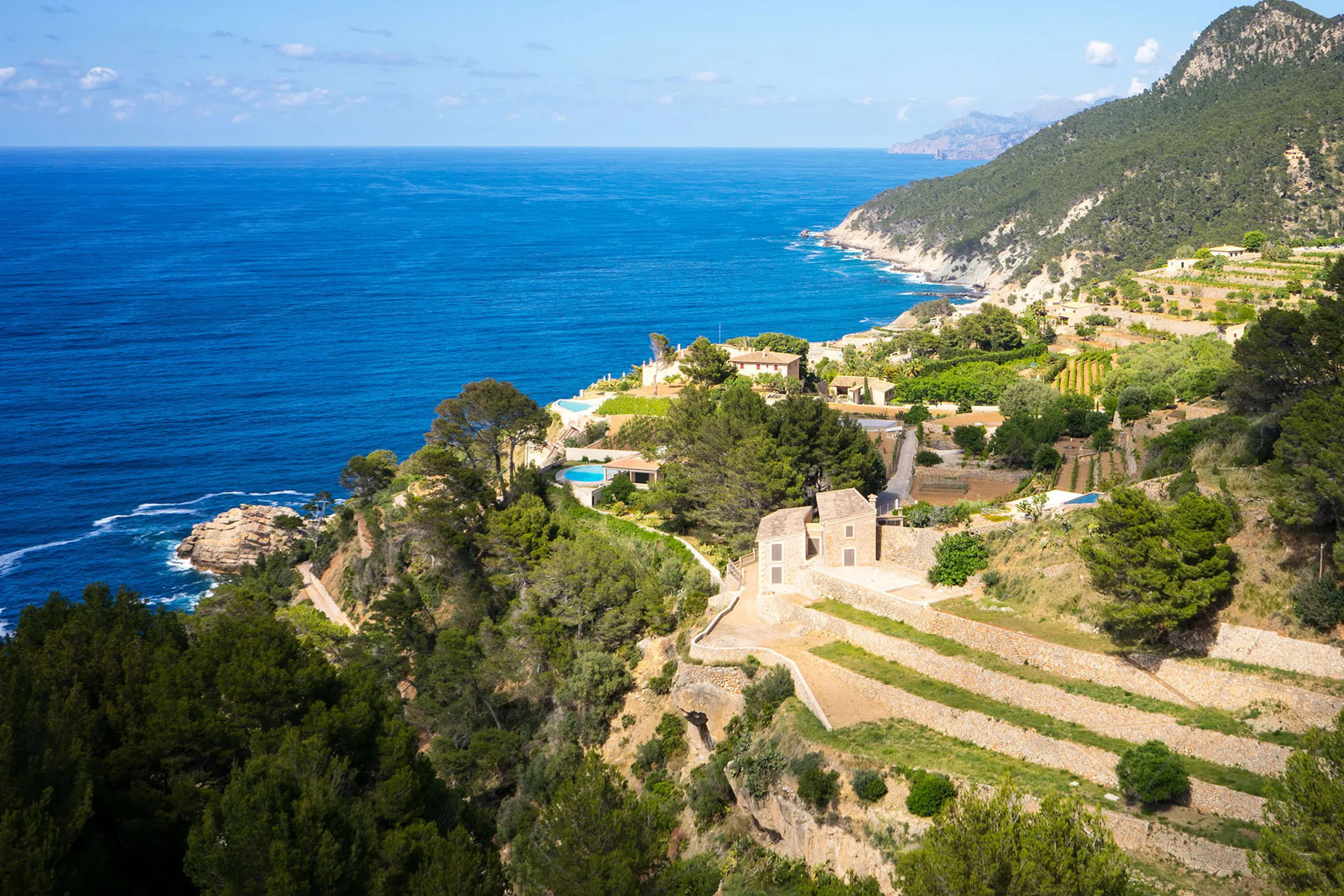
Banyalbufar
A terraced village above the sea, shaped by Moorish farming and wine-growing. Around two thousand dry-stone terraces step down towards the water. The st…
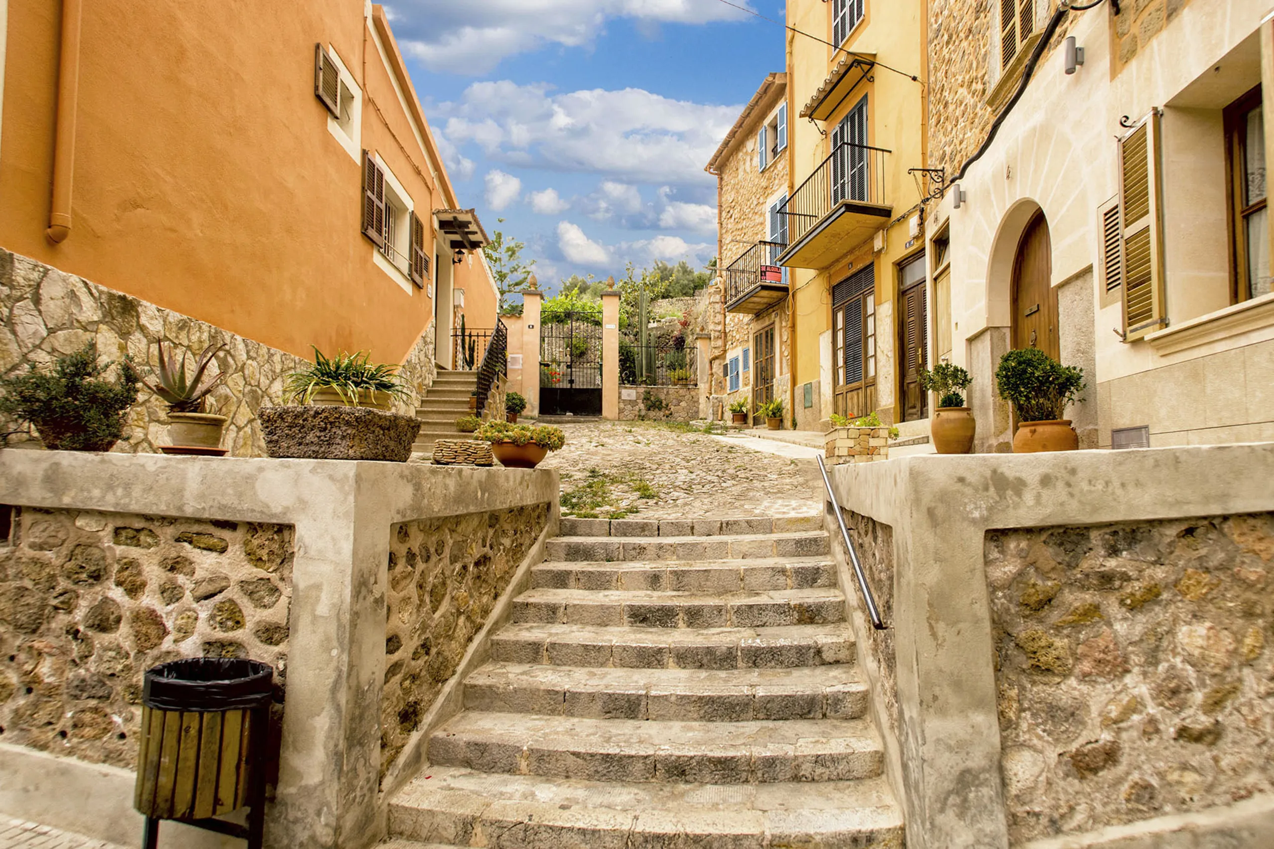
Bunyola
A village at the foot of the Tramuntana with a lovely old railway station. The wooden Sóller train stops here before disappearing into the long tunnel b…
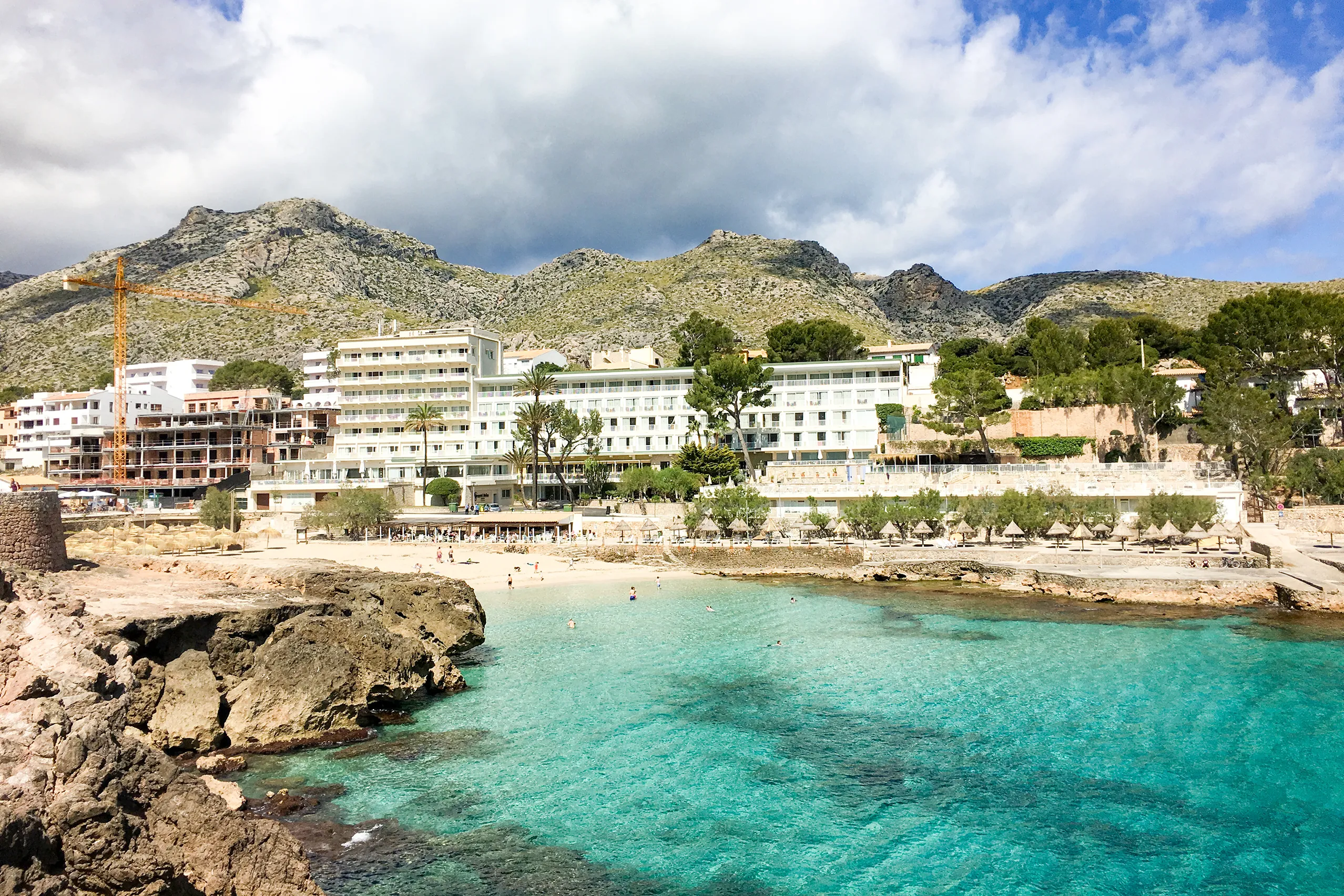
Cala de Sant Vicenç
Four small coves beneath the dramatic cliffs of Cavall Bernat, rising around 300 metres above the coast. Houses and hotels cluster around the water, in…
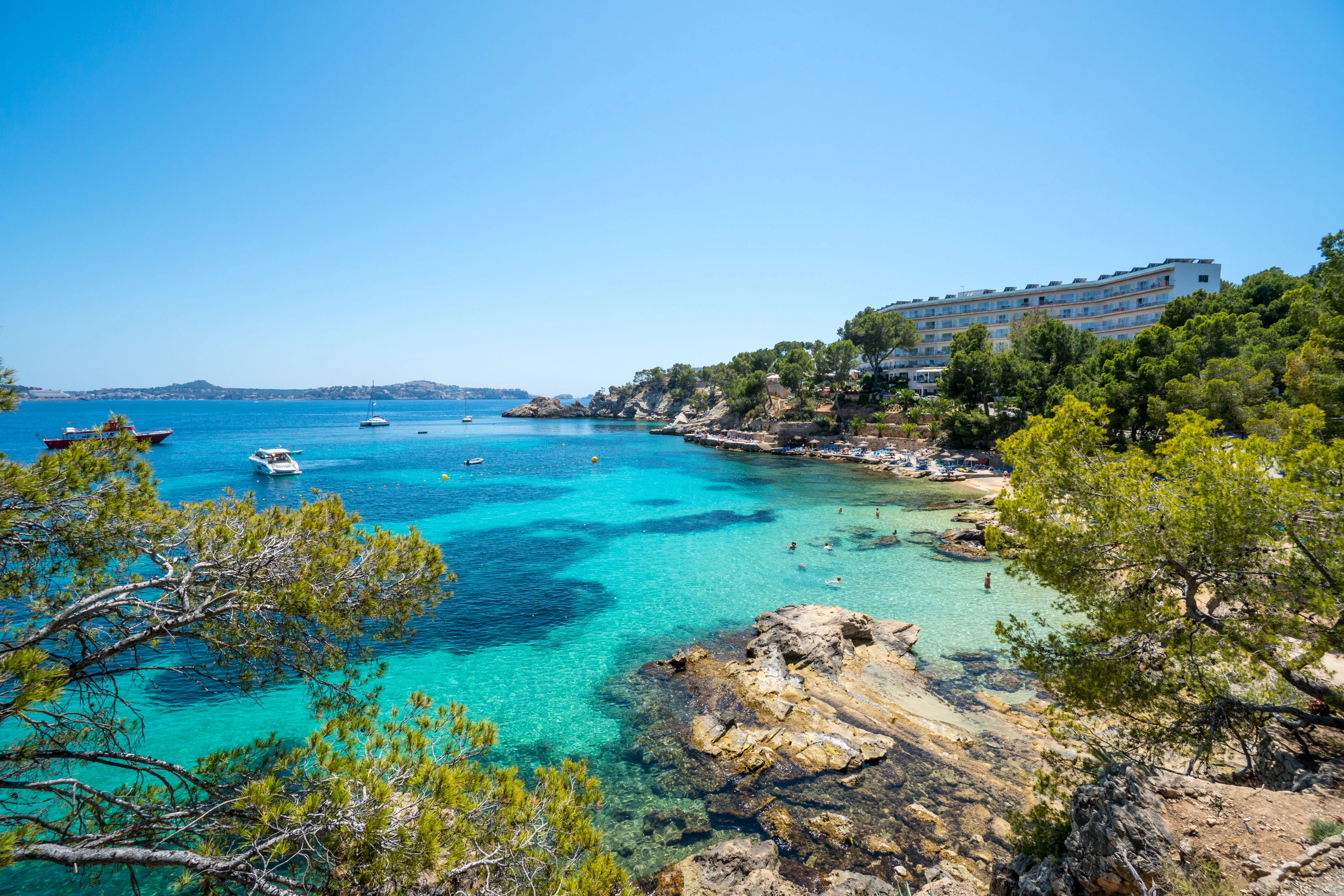
Cala Fornells
Around two kilometres from Paguera, Cala Fornells feels quite different. Rocky shores and small patches of coarse sand meet turquoise water, with terrac…
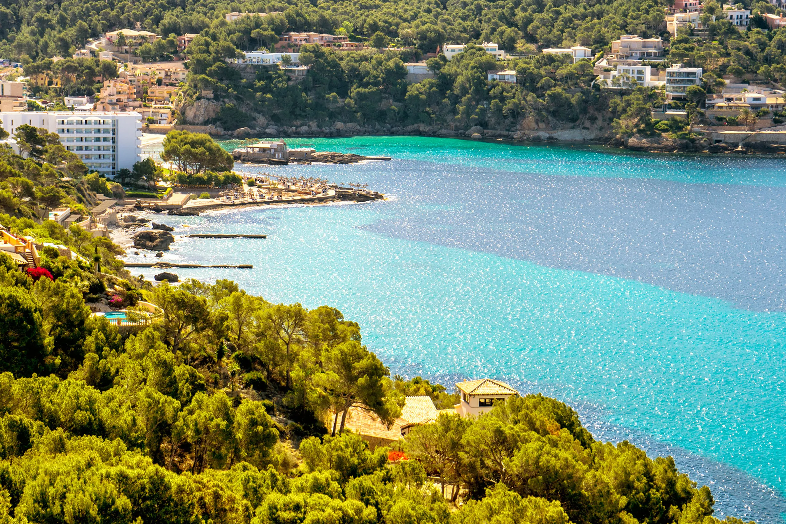
Camp de Mar
A compact sandy bay in the municipality of Andratx, surrounded by pine-covered slopes. A wooden footbridge leads out to a small rocky island with a rest…
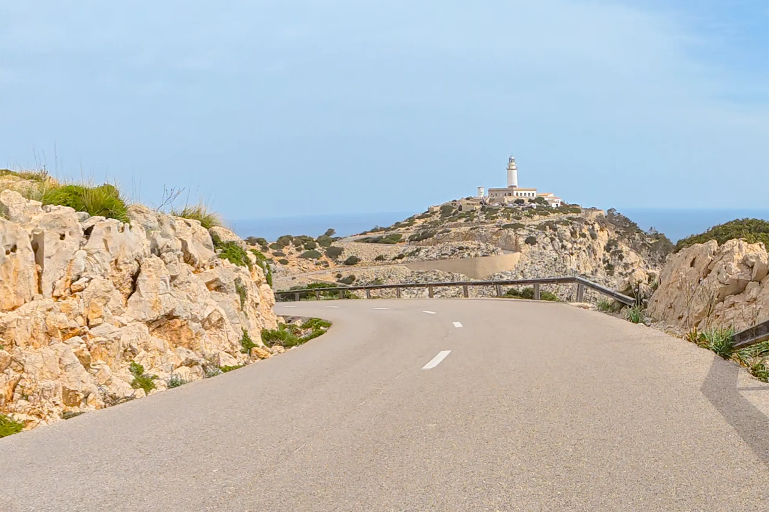
Cap de Formentor
Mallorca's north-eastern tip, reached along a rocky peninsula with a lighthouse at its end since 1863. The twenty-kilometre approach is spectacular, wit…
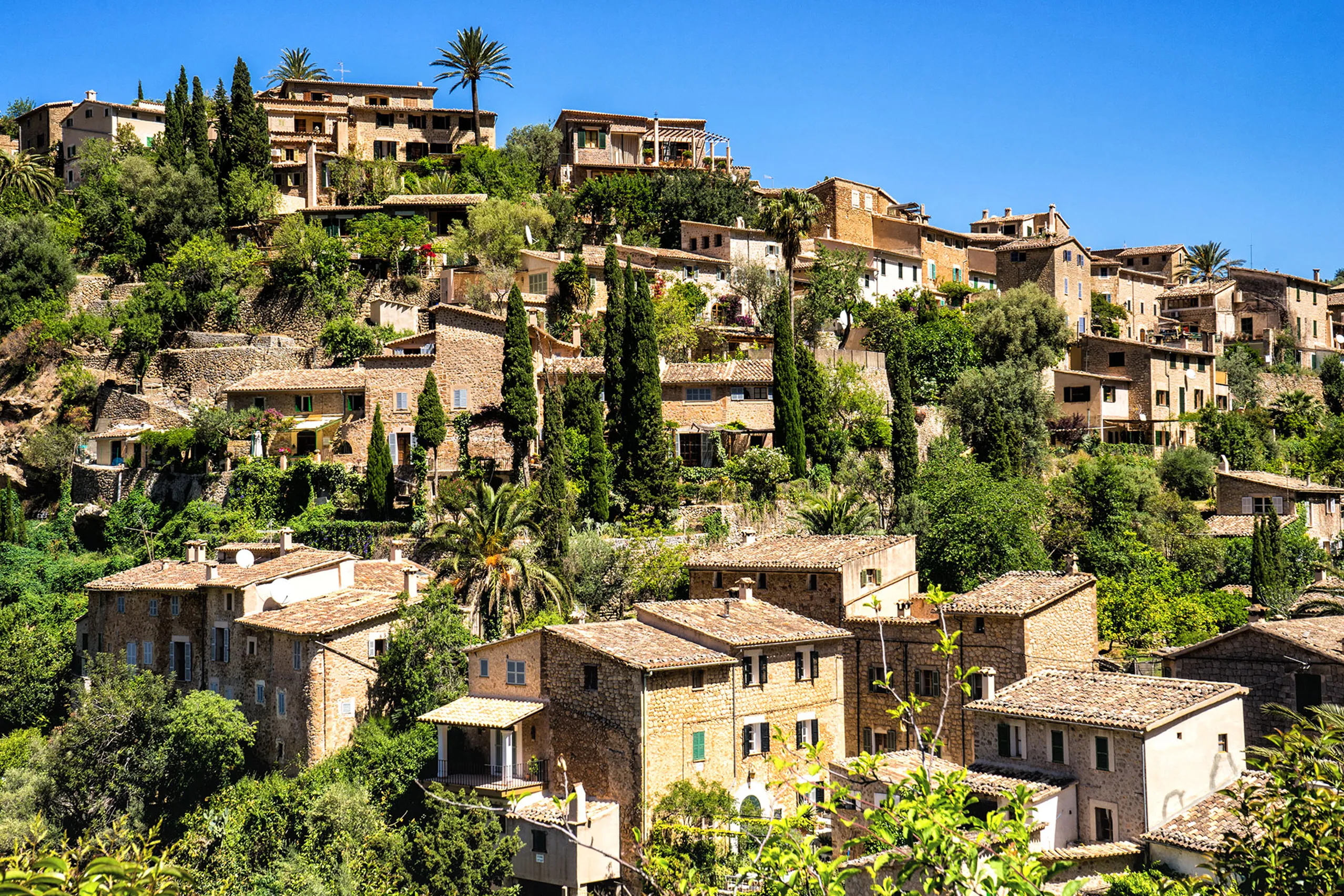
Deià
An ochre-coloured village on the slopes of the Teix, long associated with writers and artists and now one of Mallorca's more expensive places to stay. R…
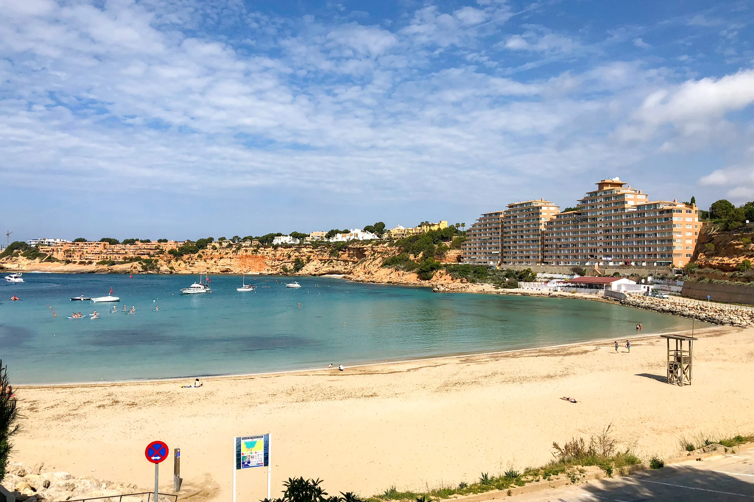
El Toro
A residential neighbourhood above a south-western bay, beside Port Adriano, the marina redesigned by Philippe Starck. A small sandy beach sits between t…
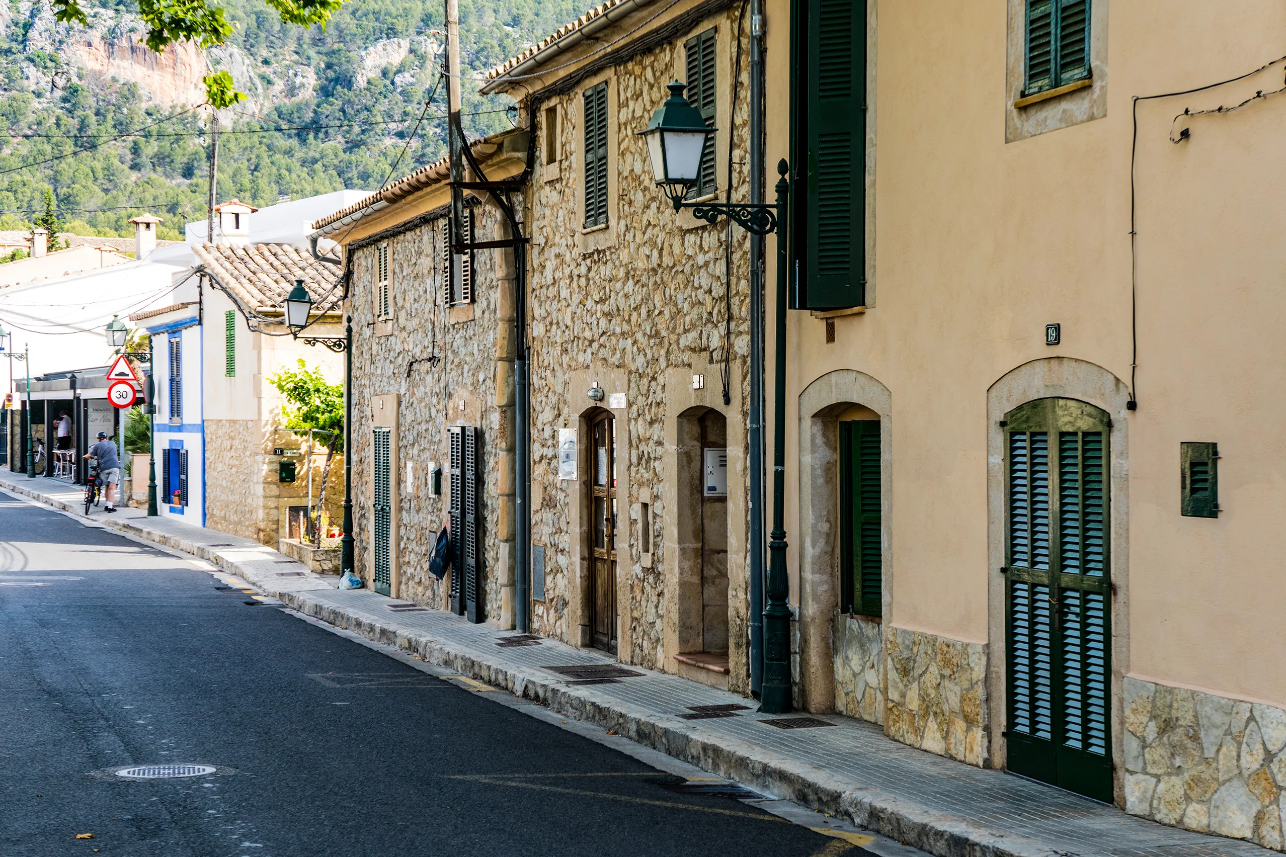
Es Capdellà
A quiet village inland from the coast, just ten minutes from Peguera but with a very different feel: stone houses, a shop and a church square, with the…
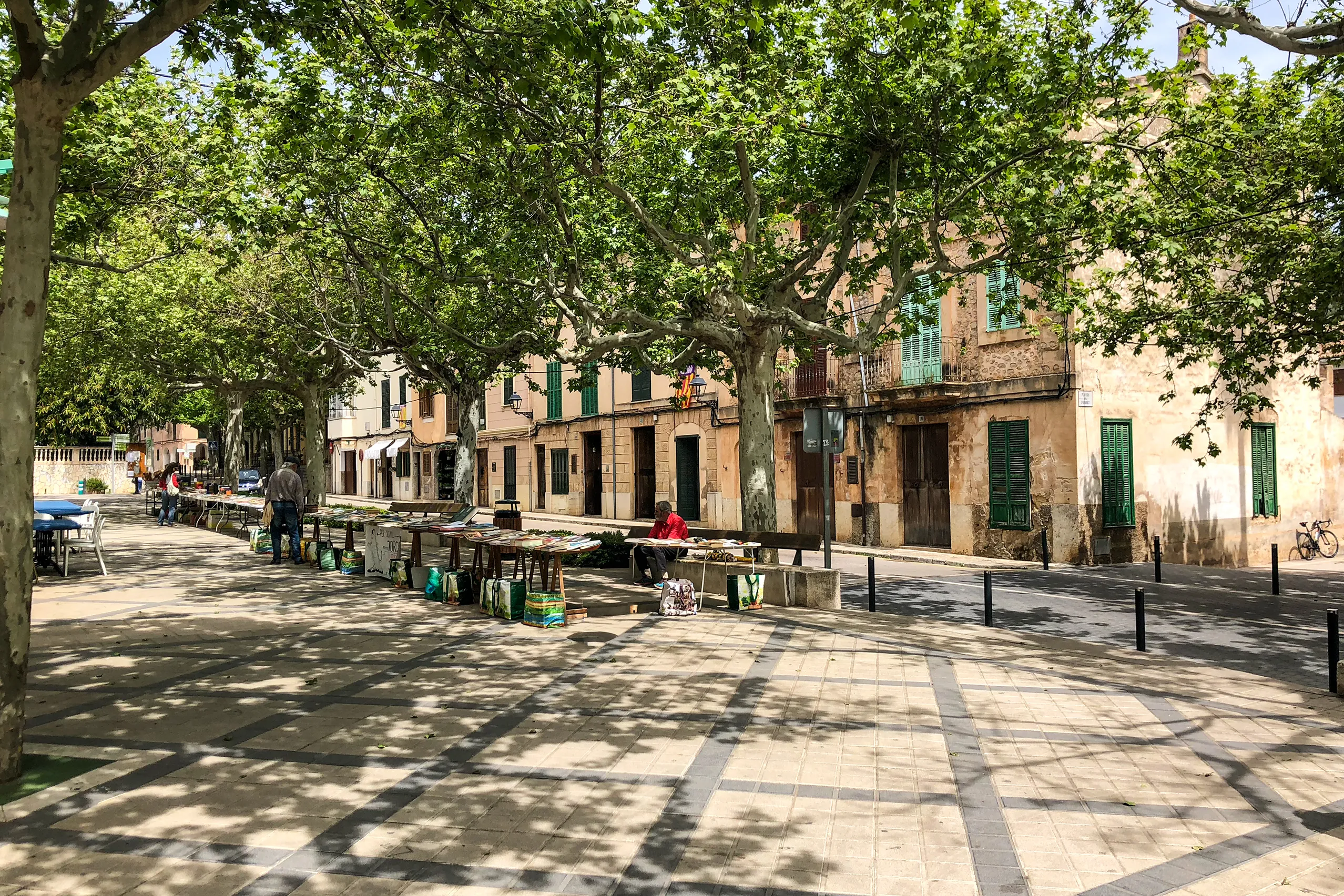
Esporles
A Tramuntana town whose main street was built above a stream: a long, tree-lined space beneath plane trees, with green-shuttered houses on either side.…
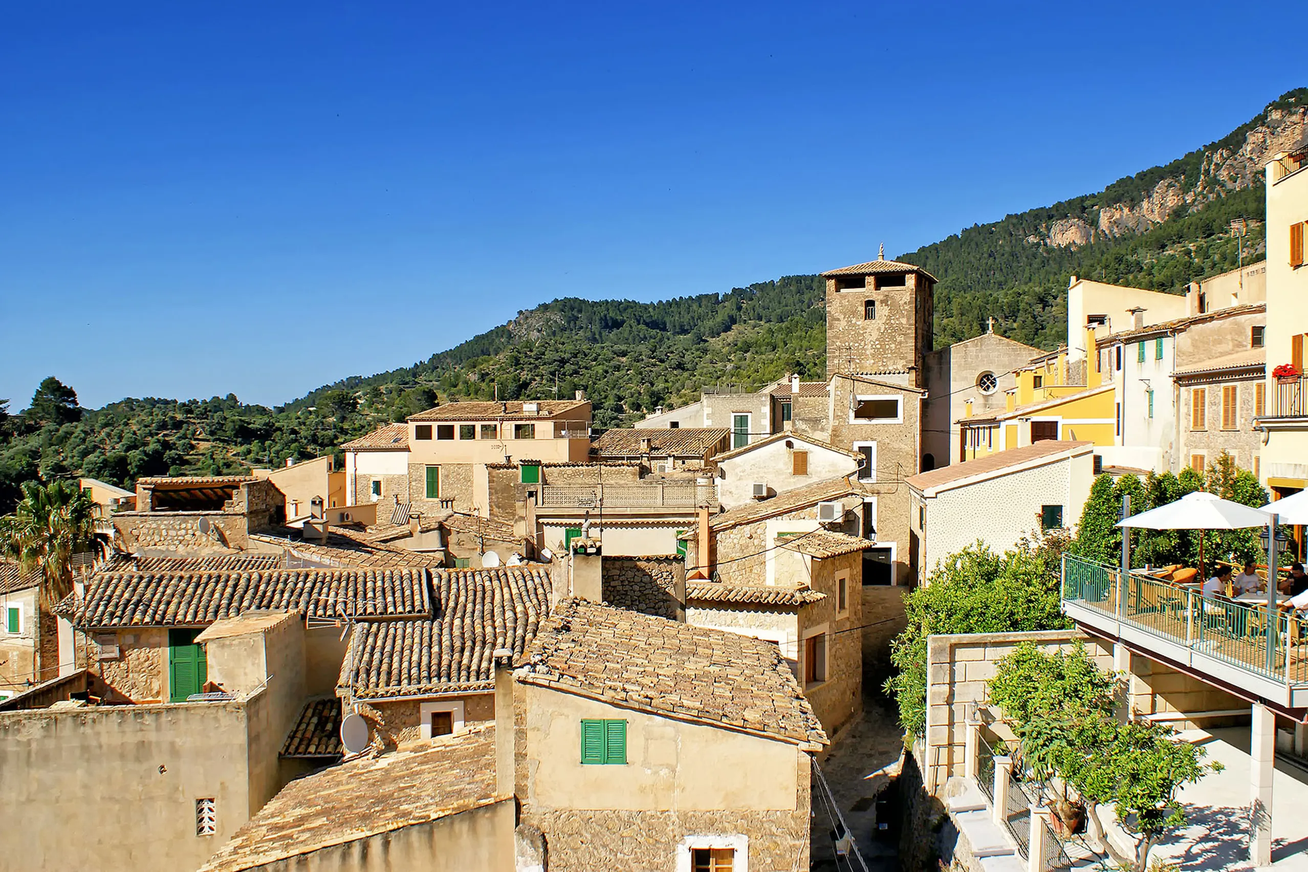
Estellencs
Four hundred residents on a steep west-coast hillside, stone lanes and a fortified church tower. Below, a small rocky cove has a boat slipway. The route…
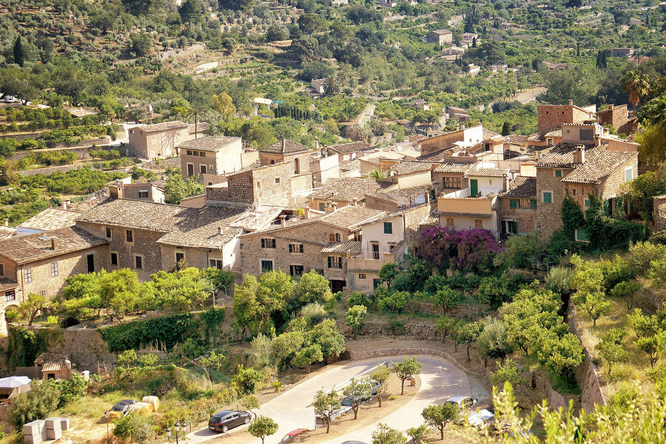
Fornalutx
The island’s steepest village, built from the rock it stands on. Stepped lanes replace streets, painted tiles line the eaves and terraces climb towards…
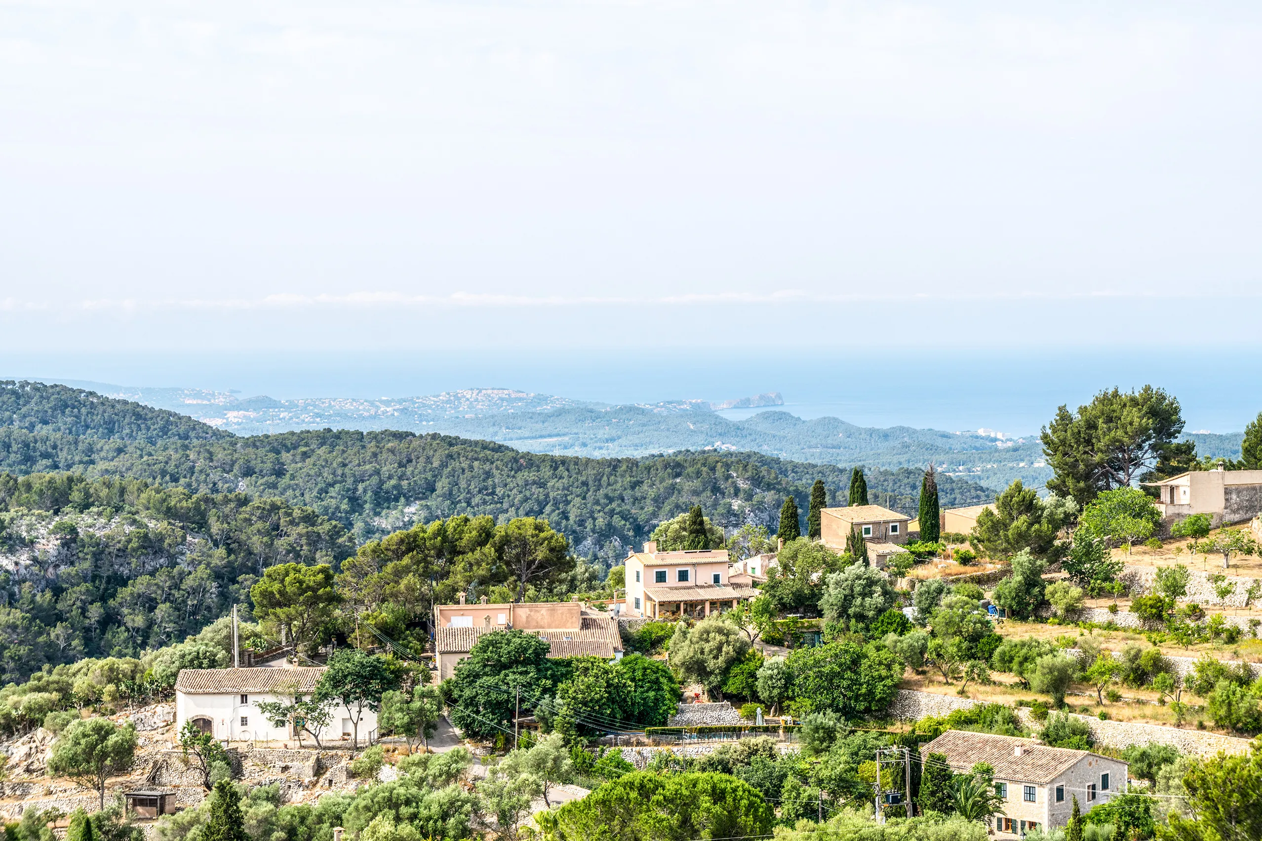
Galilea
One of Mallorca’s highest villages, 460 metres above the sea. Two hundred residents, a white church with a red tower roof, a café on the square and, in…
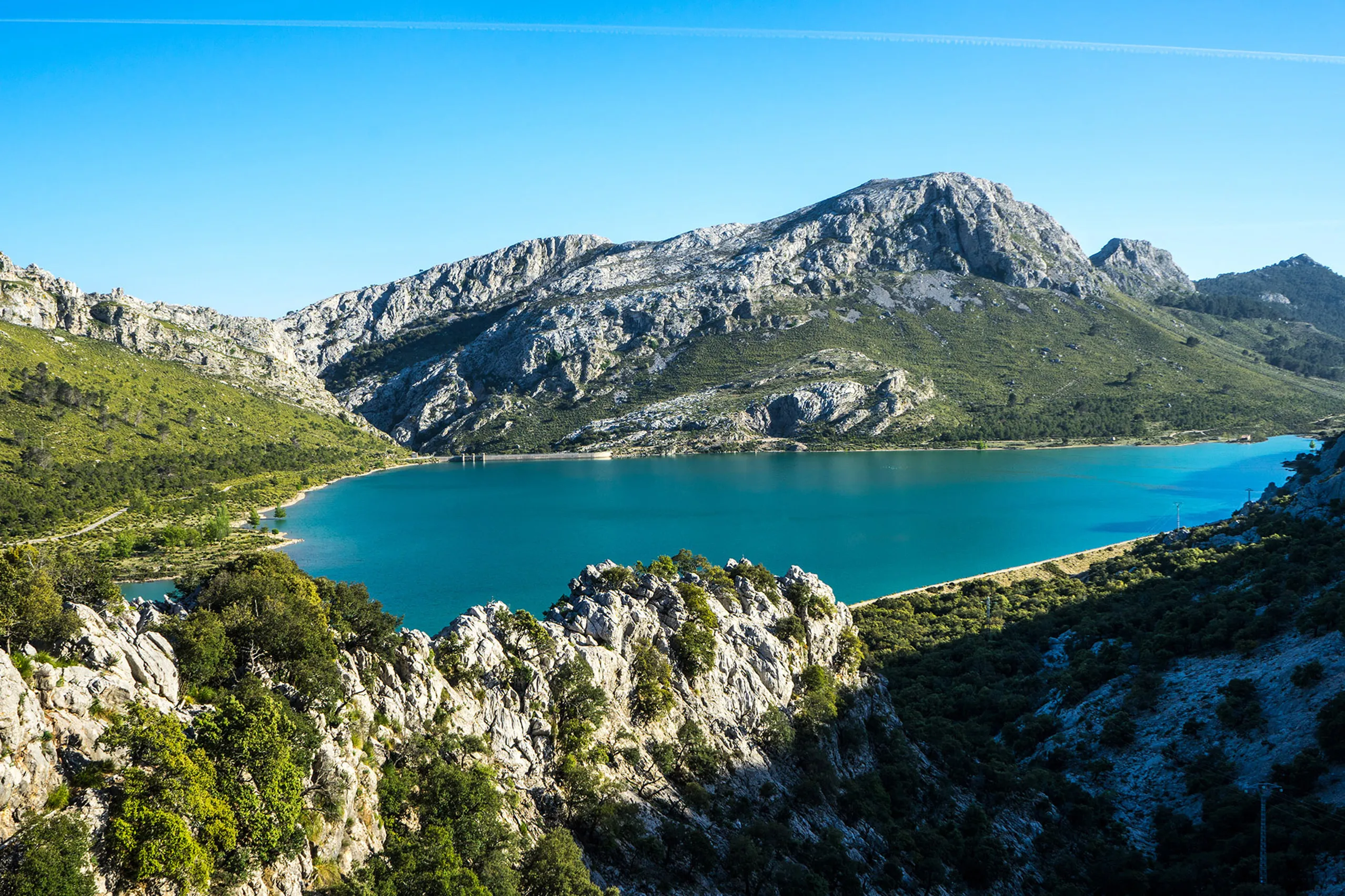
Gorg Blau
Mallorca’s largest reservoir sits in the heart of the Tramuntana beside the MA-10. Swimming is forbidden, there’s no café or proper car park, but the ro…
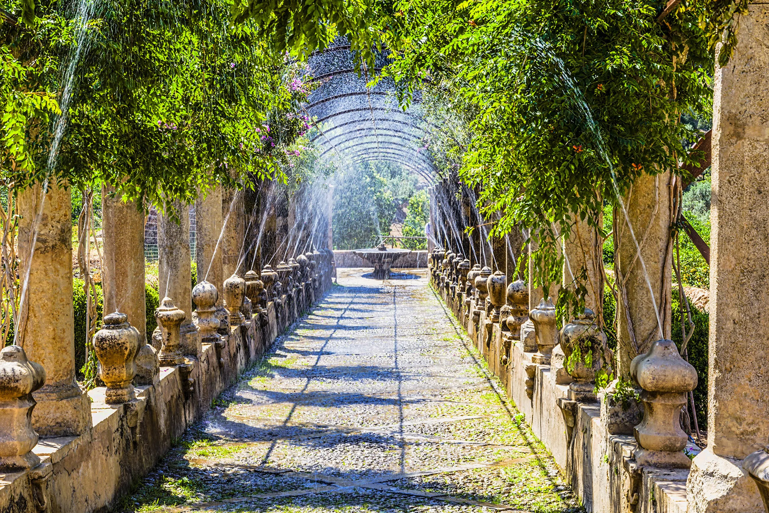
Jardins d'Alfàbia
At the foot of the Sóller pass, this garden has irrigation rooted in Moorish times. Palm groves, a pergola with hidden water jets and a manor house make…
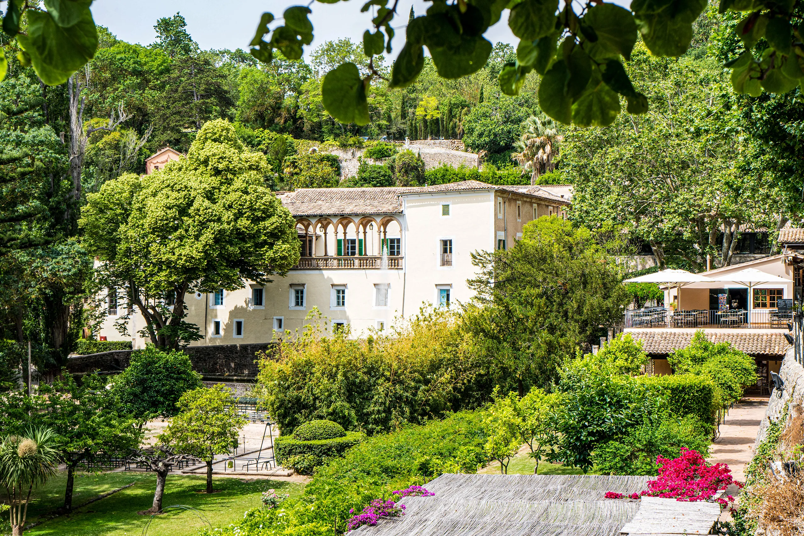
La Granja
A historic country estate near Esporles, with a manor house and gardens. Public access hasn’t been confirmed, so don’t plan a visit for now.
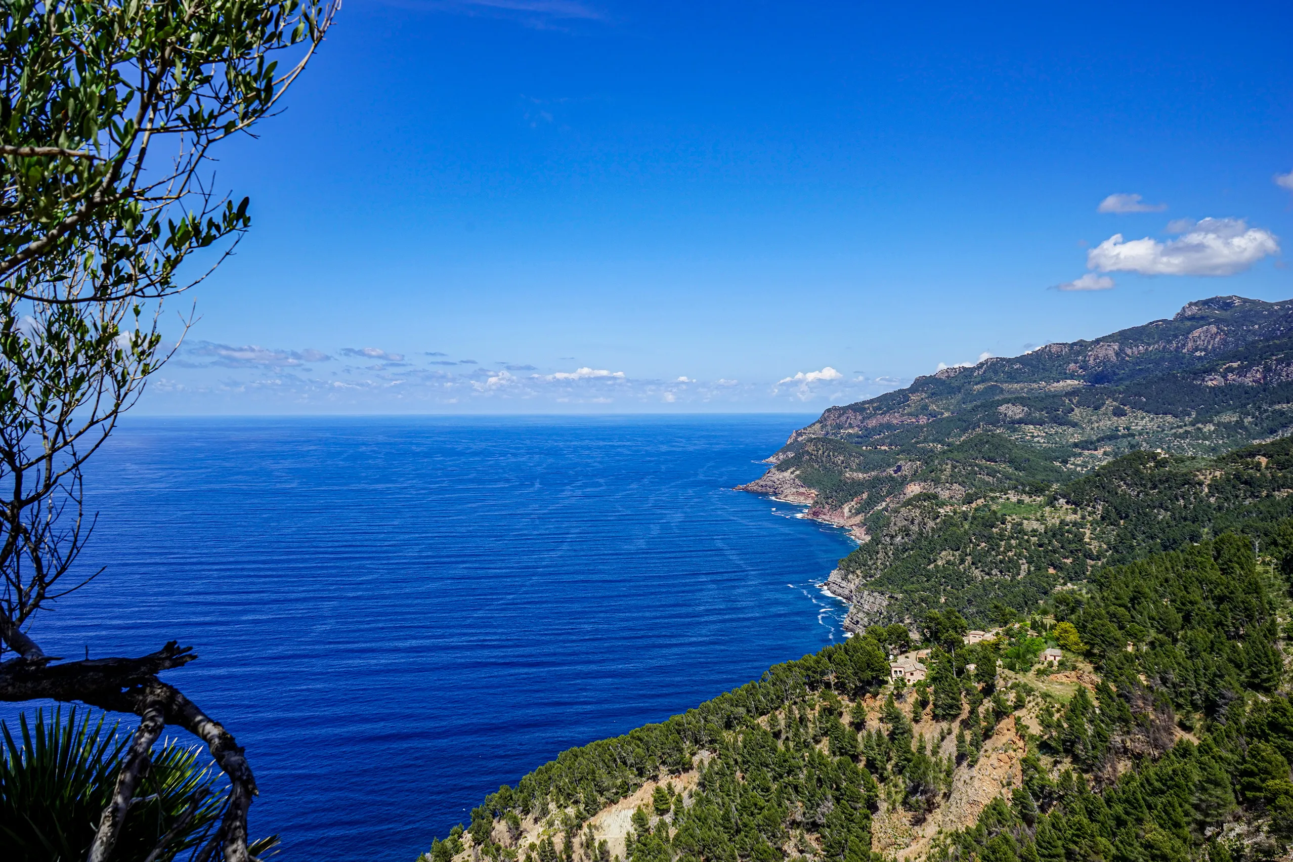
Mirador de Ricardo Roca
The first major viewpoint on the west-coast road after Andratx. Stone steps climb from beside a road tunnel to a rocky lookout with coastal views in bot…
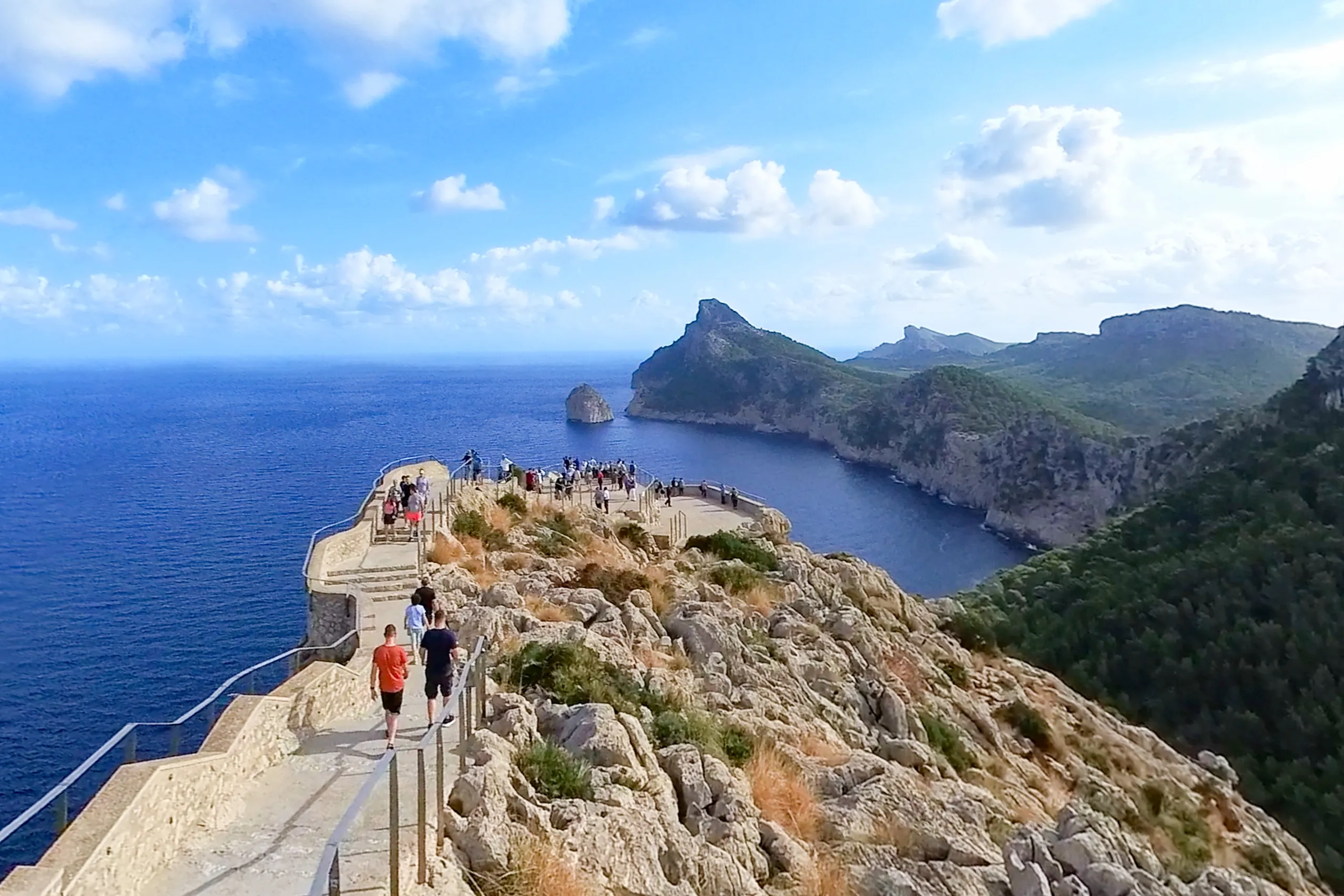
Mirador Es Colomer
Mallorca’s best-known viewpoint stands 232 metres above the sea on the Formentor peninsula. A terrace occupies a rocky spur, steps lead to a higher look…
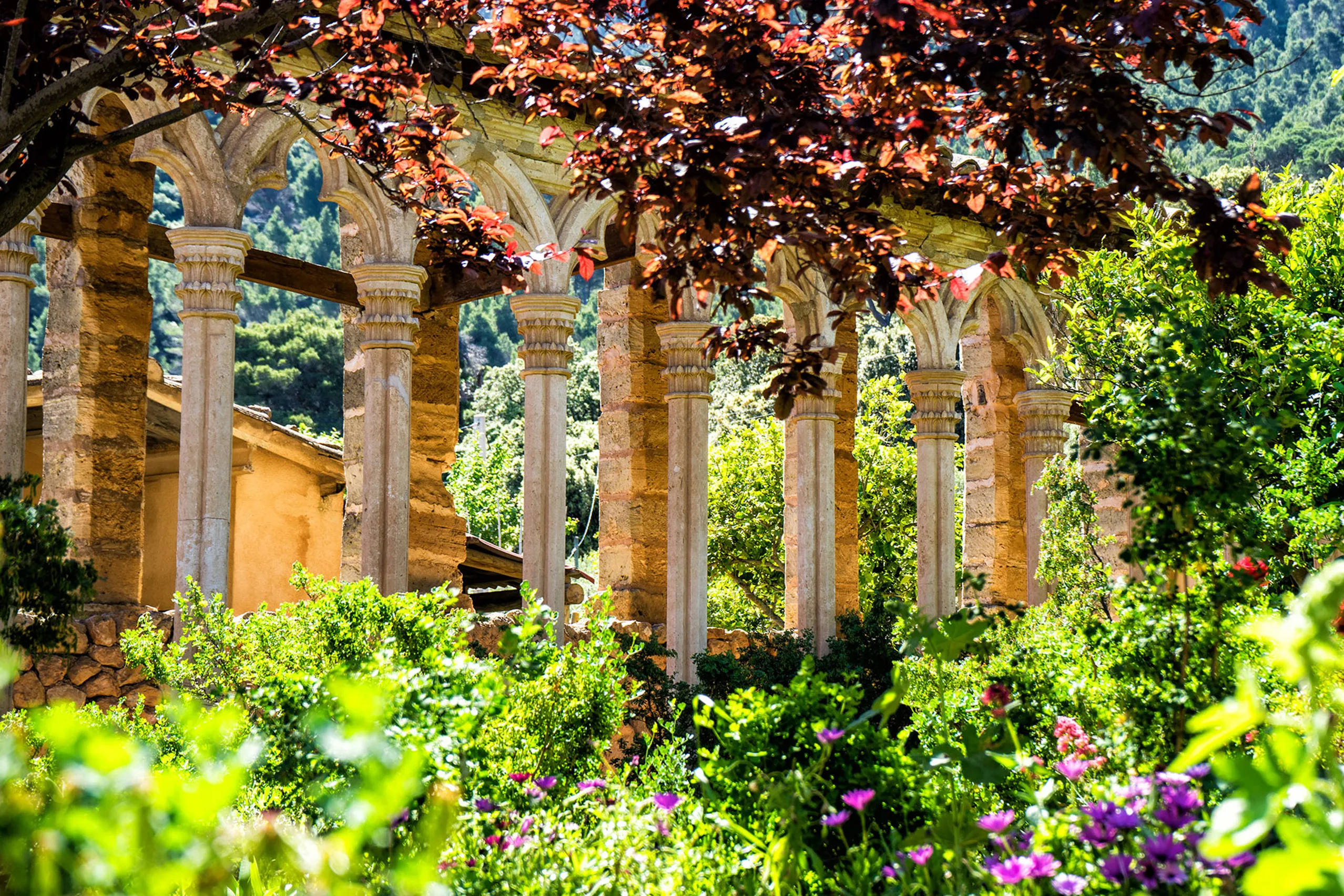
Monestir de Miramar
Ramon Llull founded a school for Eastern languages here in 1276. Six hundred years later, Archduke Ludwig Salvator bought the estate and began helping p…
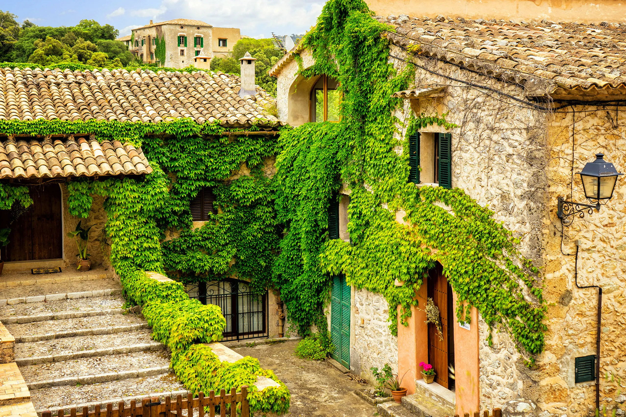
Orient
Forty residents in a high Tramuntana valley, reached by a road with seventeen hairpins. Rough-stone houses, ivy-covered façades and no shops, with walki…
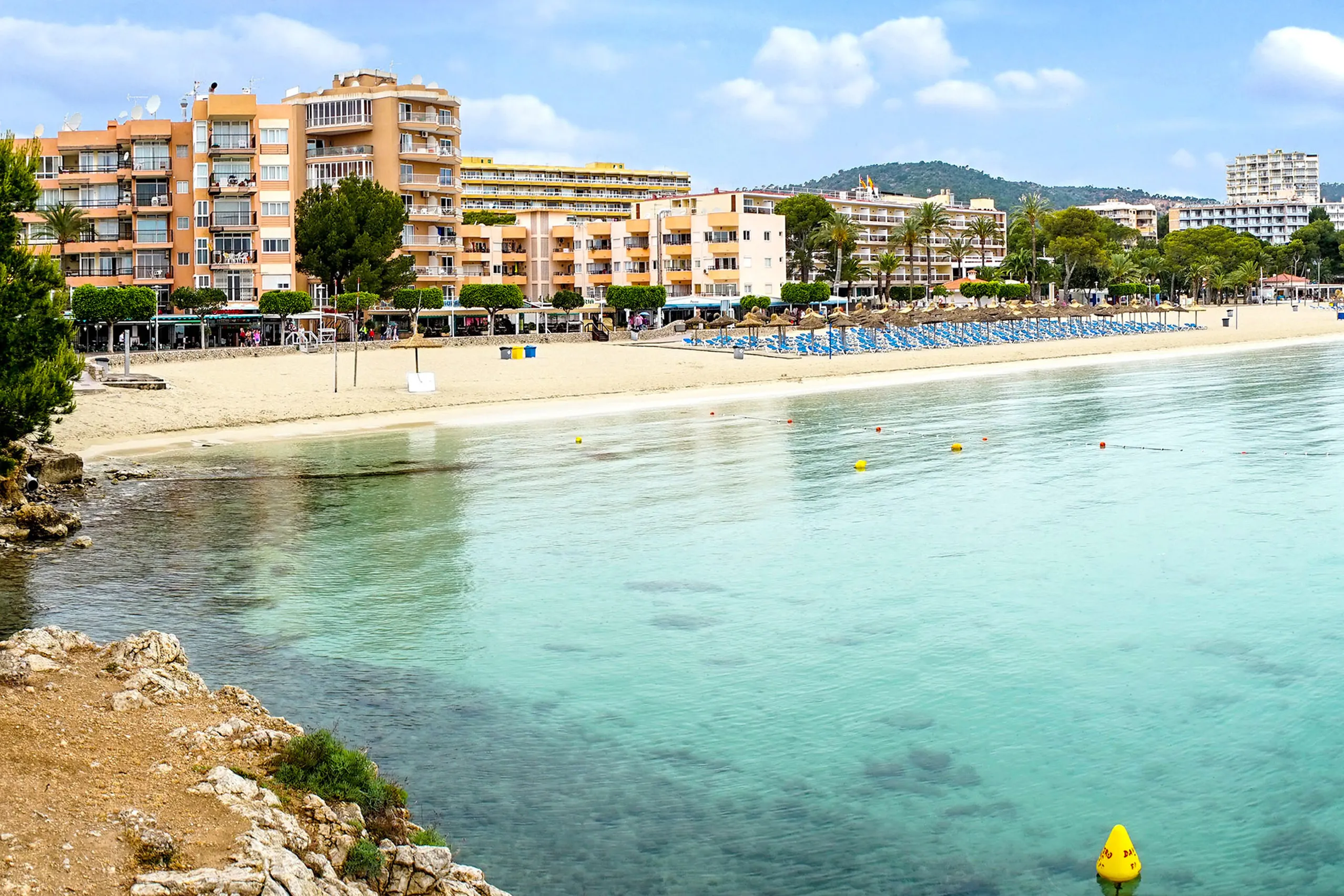
Palmanova
Broad sandy bays with pale, shallow water, right beside Magaluf but with a different feel. The quieter neighbour, and my choice for the beaches.
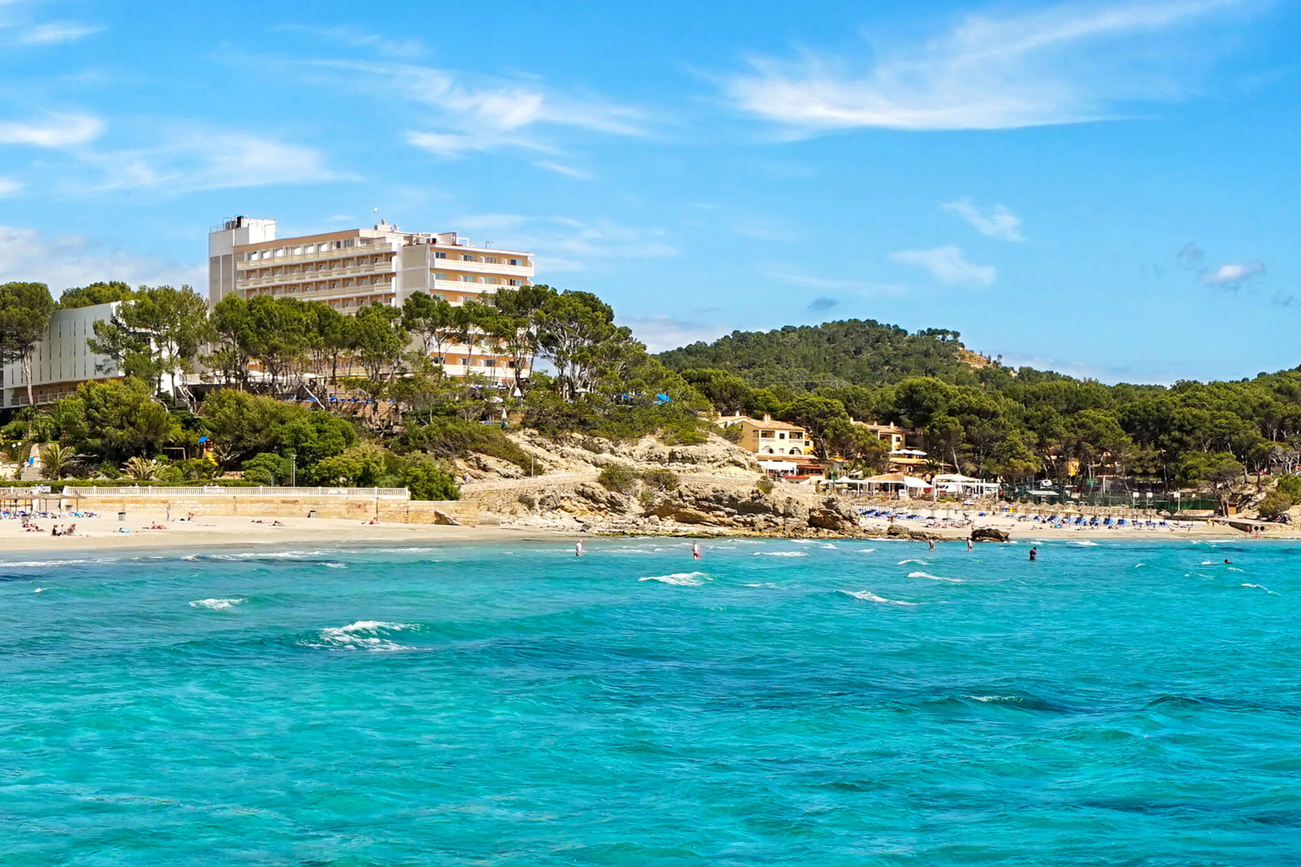
Peguera
Three sandy bays in a row, separated by pine-covered rocky headlands, with a plane-tree-lined boulevard behind that belongs to pedestrians in the evenin…
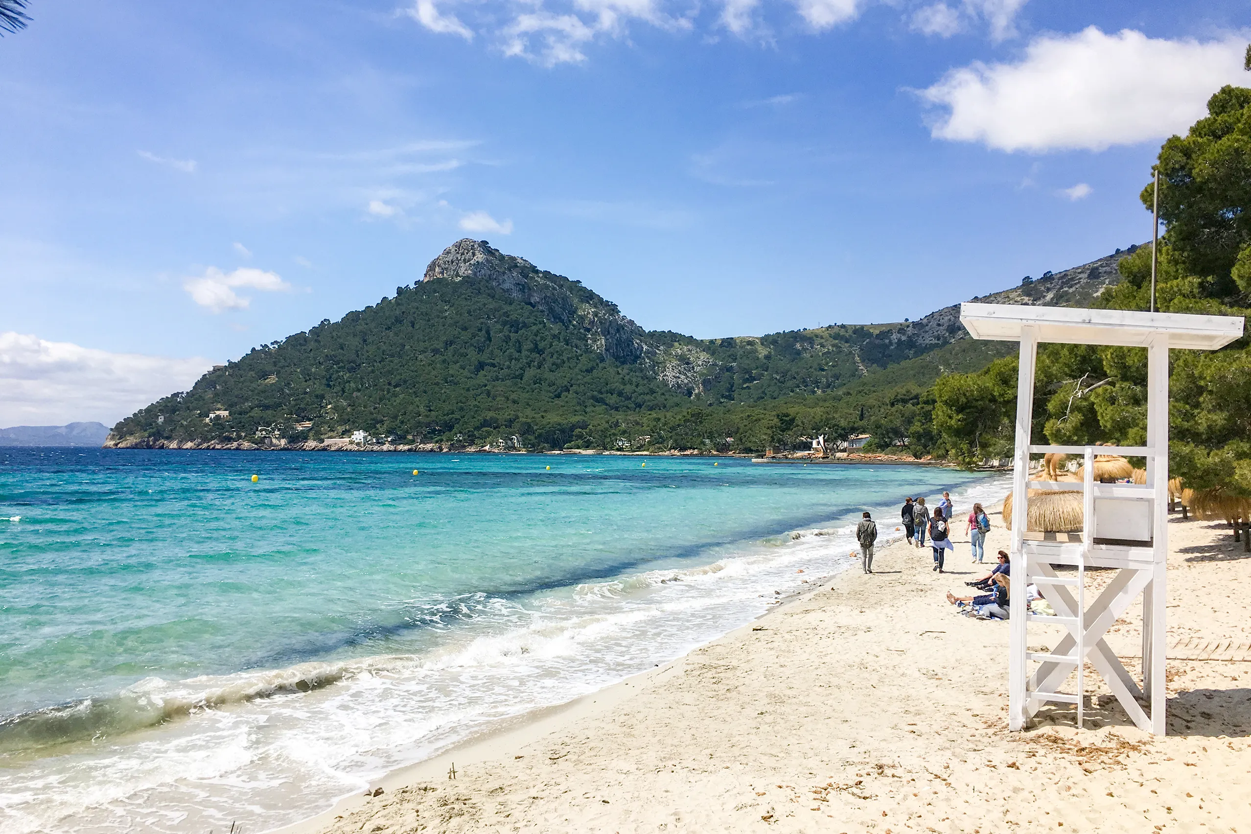
Platja de Formentor
One of the north's best-known beaches: pale sand beneath old pines, the peninsula's mountains behind and water in shades of blue ahead. Summer road acce…
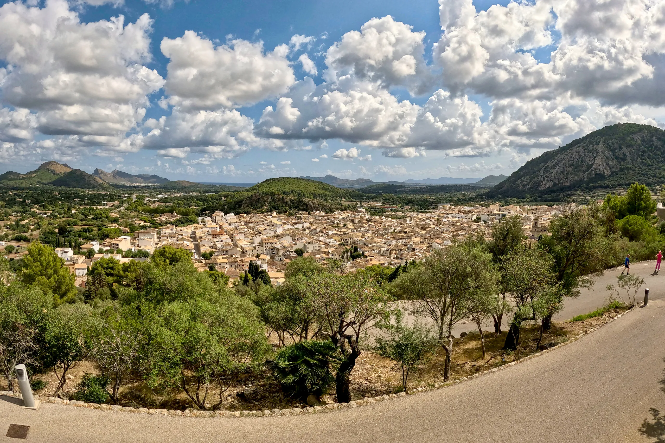
Pollença
A small town at the northern end of the Tramuntana, set inland because the sea brought pirates for centuries. Climb 365 cypress-lined steps to the Calva…
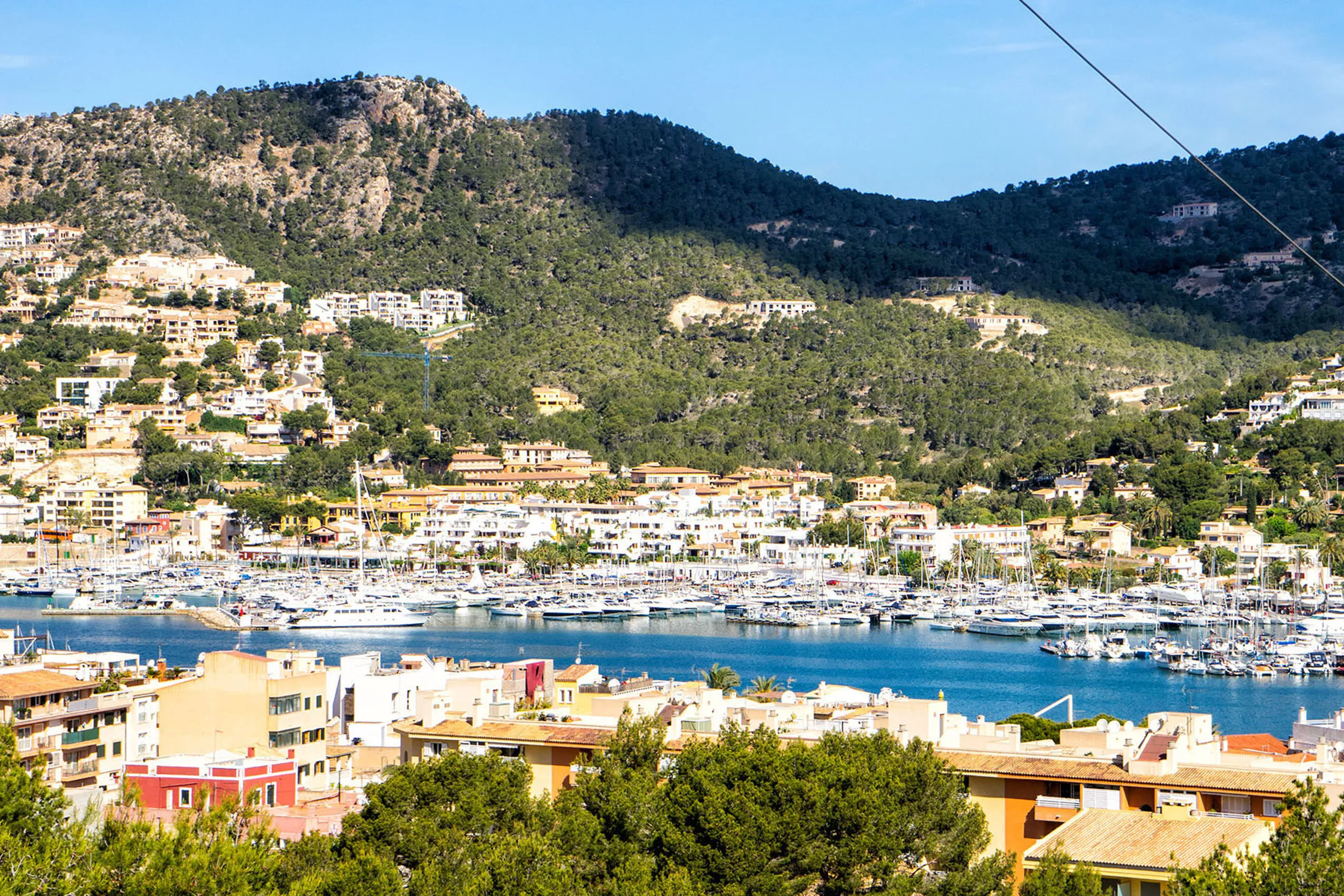
Port d'Andratx
An upmarket natural harbour in a deep, sheltered bay, with fishing boats on one side, yachts on the other and villas covering the surrounding hillsides.
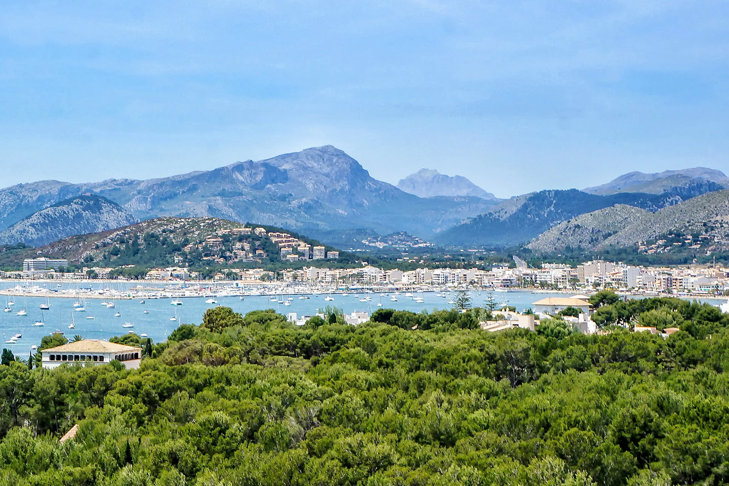
Port de Pollença
A quieter, more expensive neighbour to Alcúdia bay, with the waterfront Pine Walk, a royal yacht club and reliable afternoon sailing breezes between the…
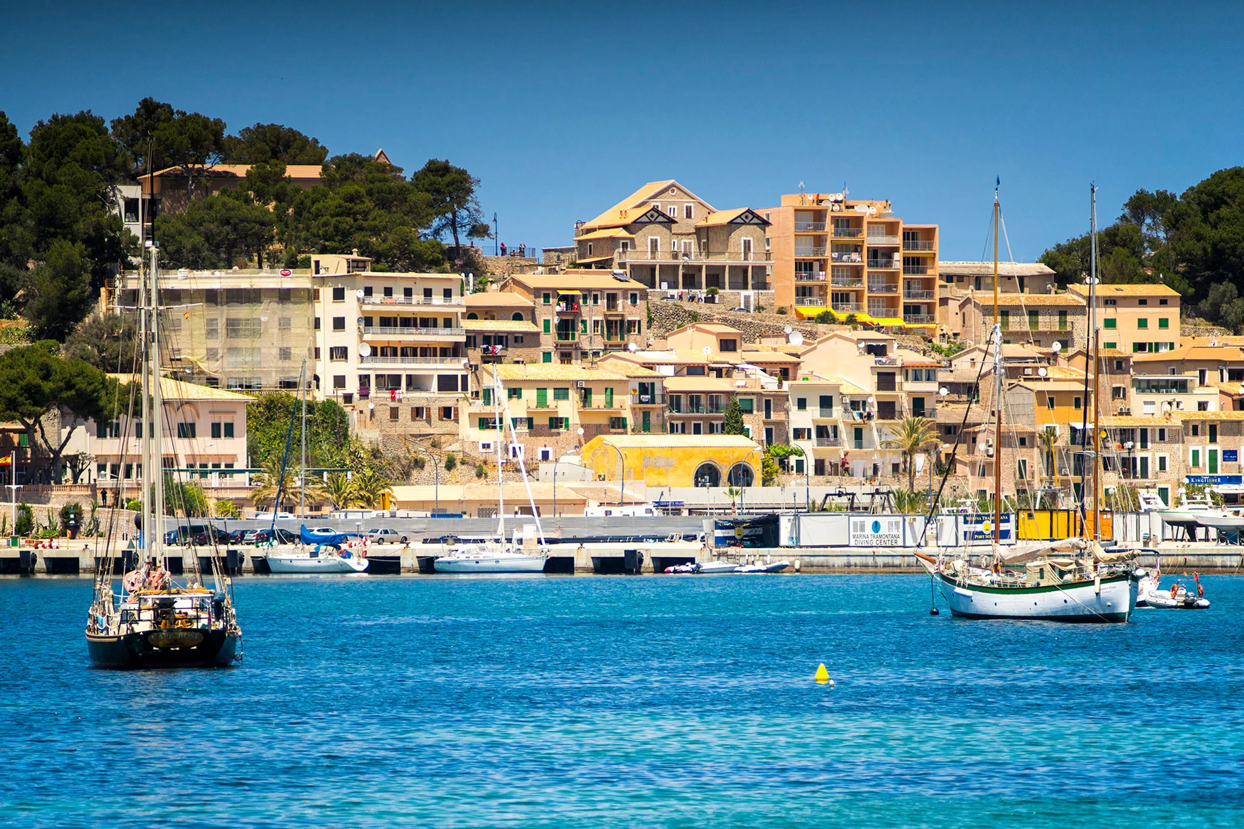
Port de Sóller
An almost circular, sheltered bay with a sandy beach, two lighthouses and a tram that has run down from Sóller since 1913. The north-west coast's princi…
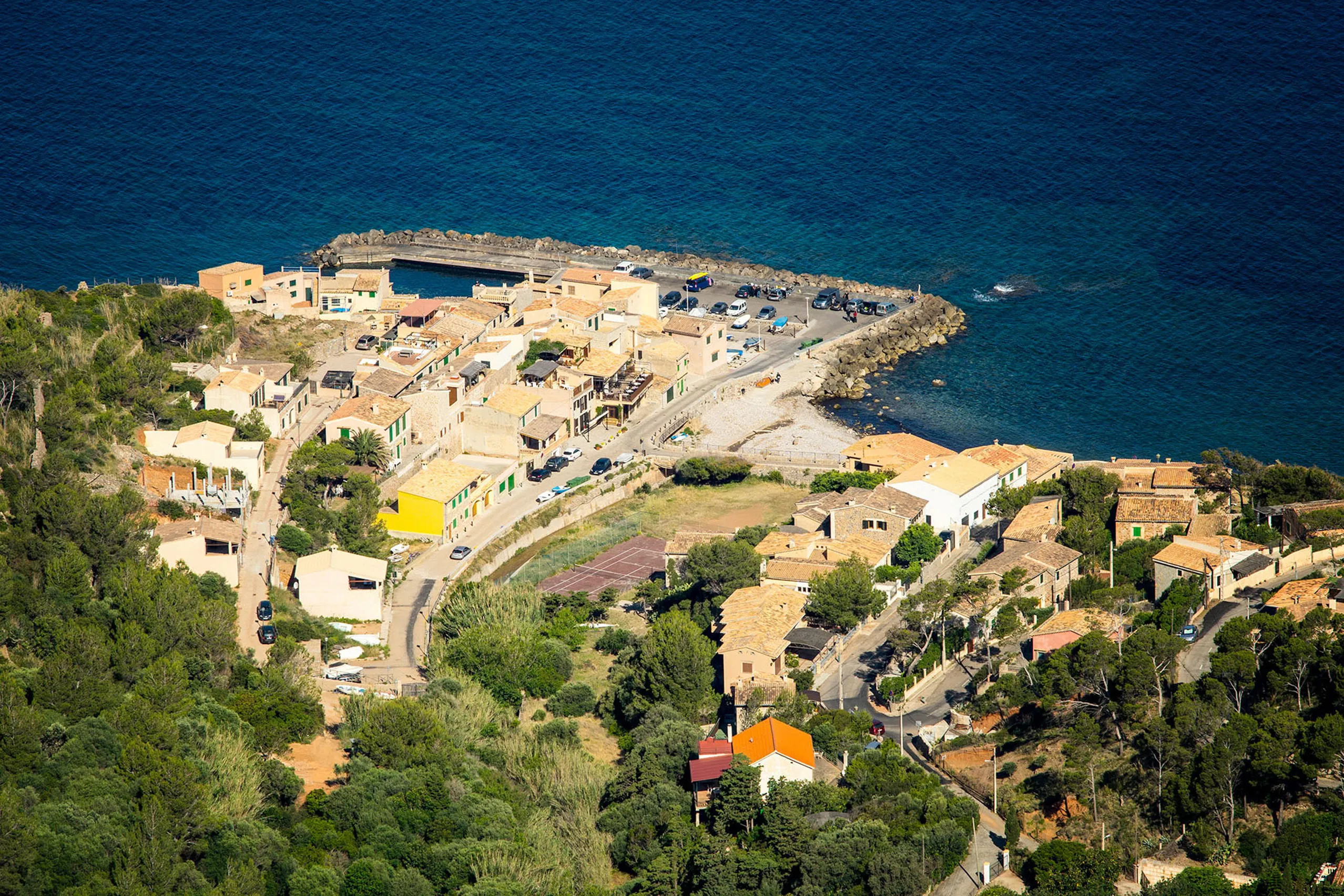
Port de Valldemossa
A tiny fishing settlement beneath the cliffs, reached by six kilometres of tight hairpin bends. A few stone houses and boats on slipways sit beside the…
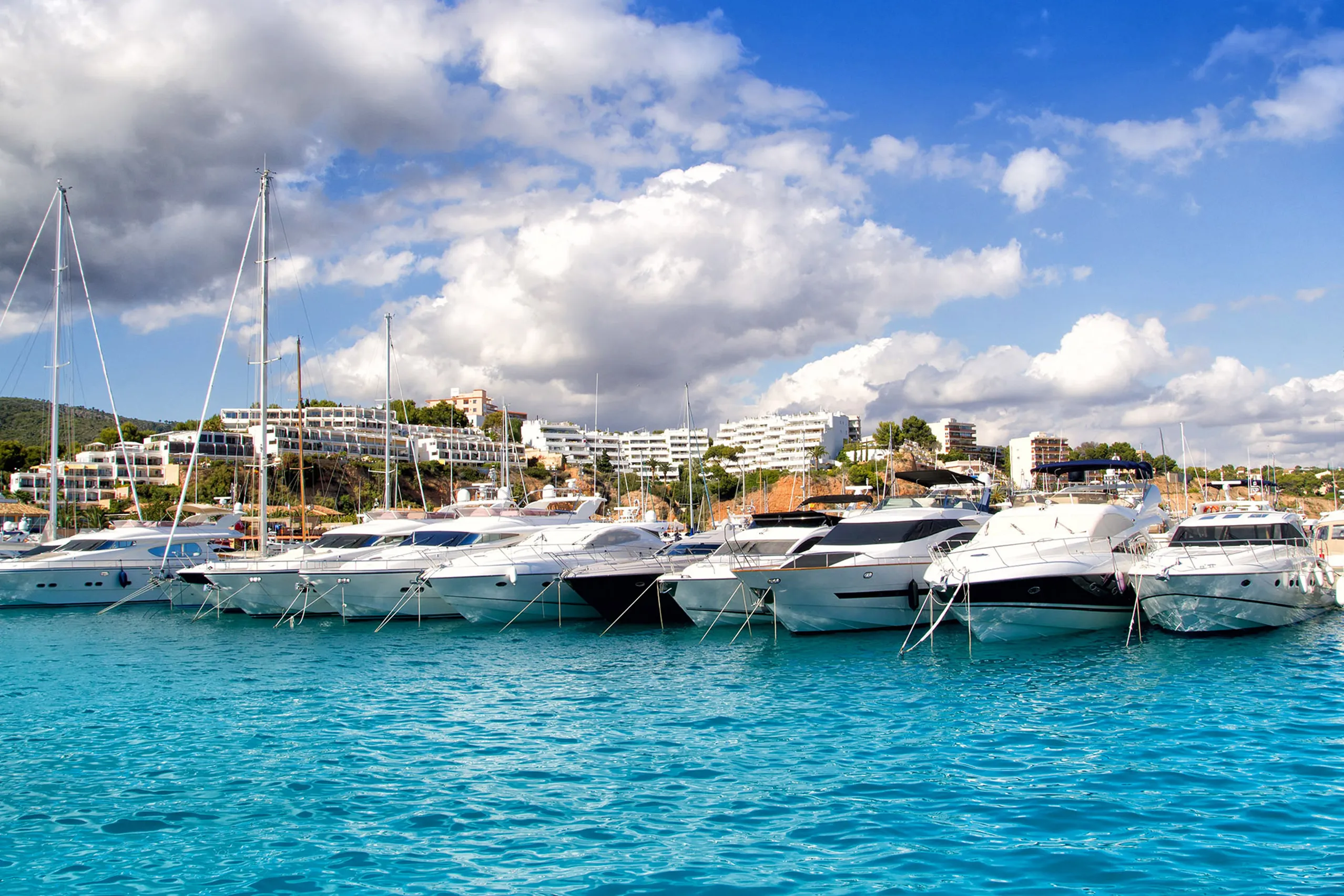
Puerto Portals
The south-west's marina, with 670 berths, rows of white boats and a white tower by the quay. You come here to look around rather than swim.
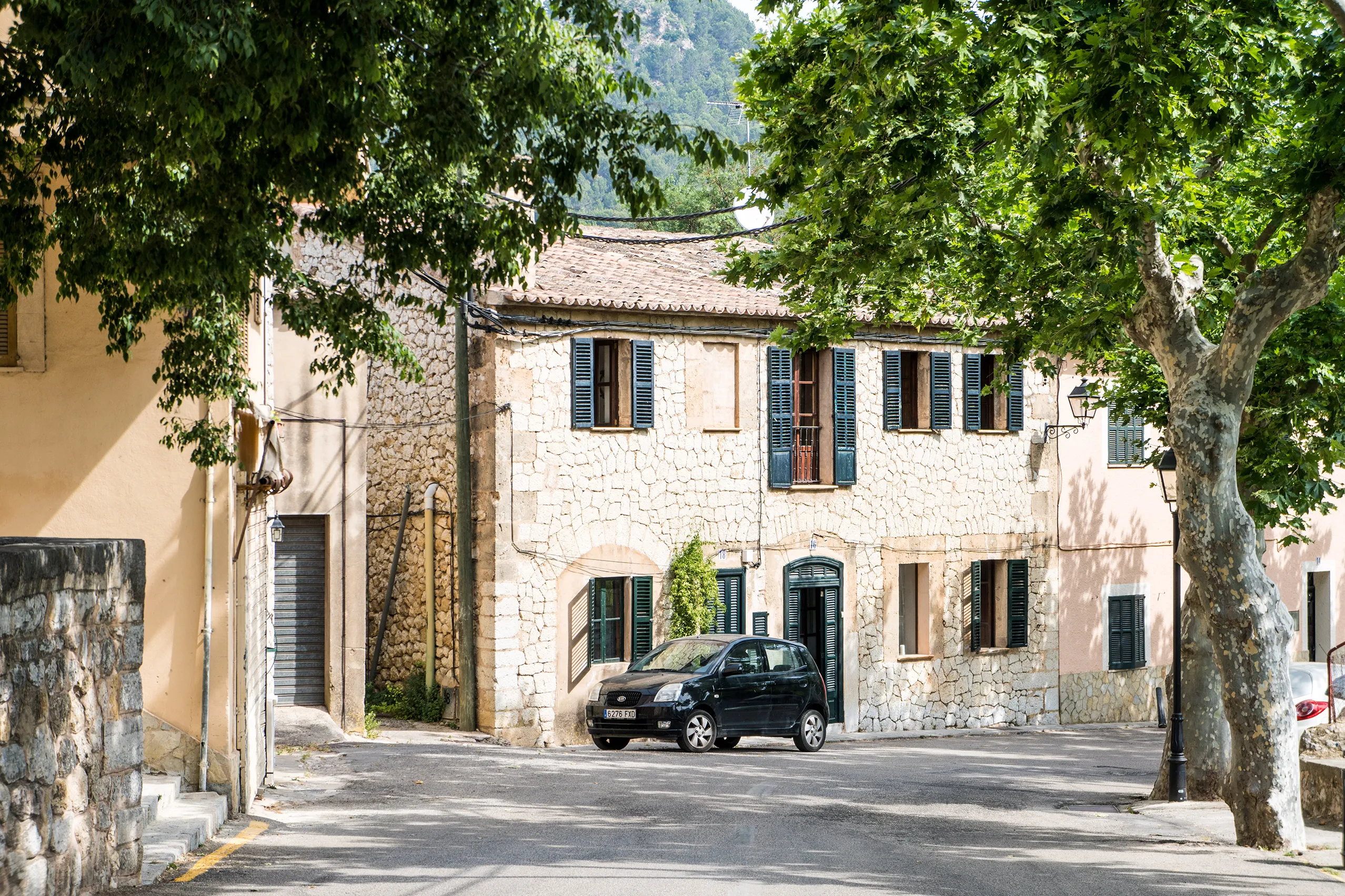
Puigpunyent
A village below Puig de Galatzó, twenty minutes from Palma yet rarely visited. Plane trees overhang the road, the church overlooks a square, old olive p…
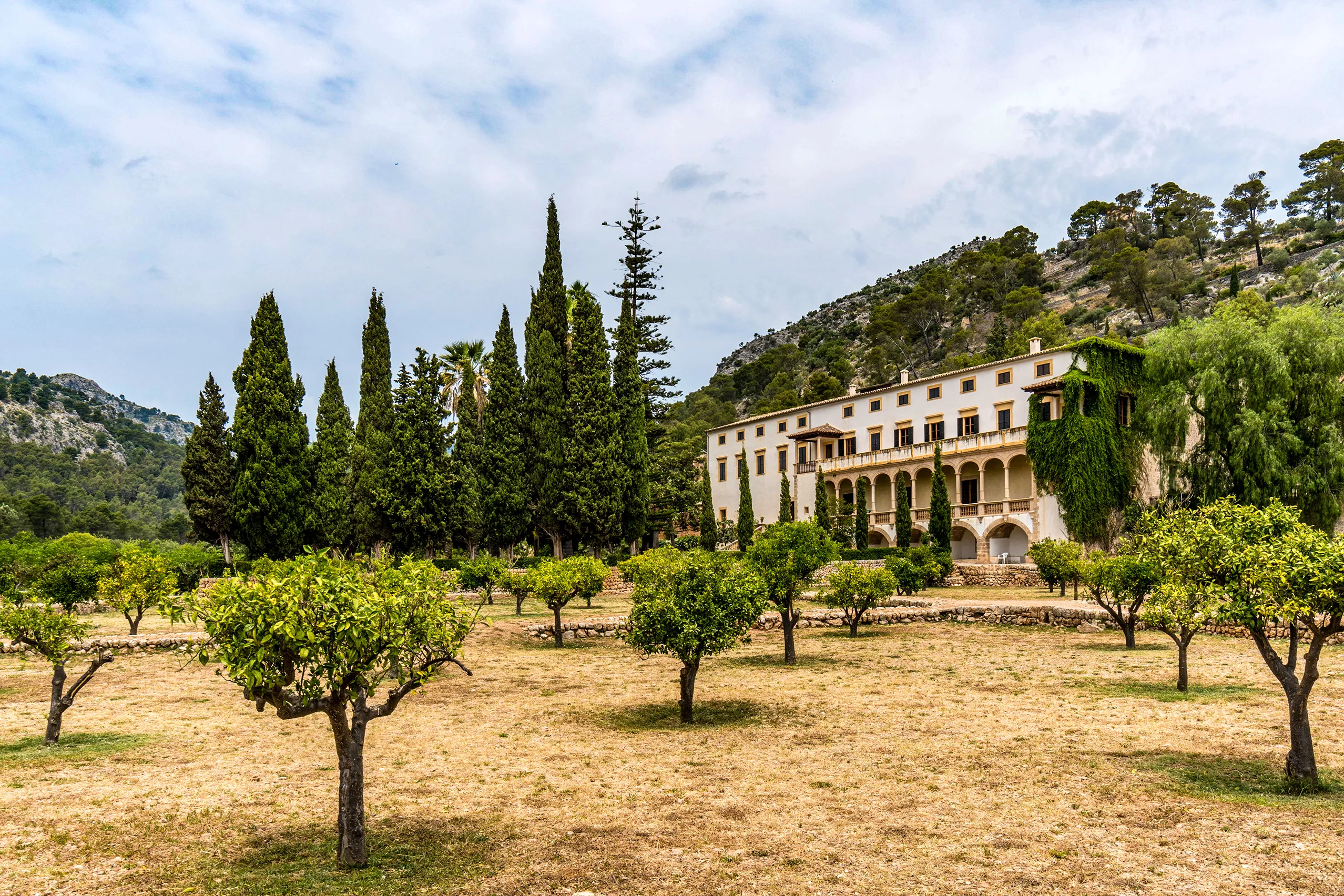
Raixa
A country estate near Bunyola, transformed by an 18th-century cardinal into an Italian-style villa. A terraced staircase, stone lions and cypresses fill…
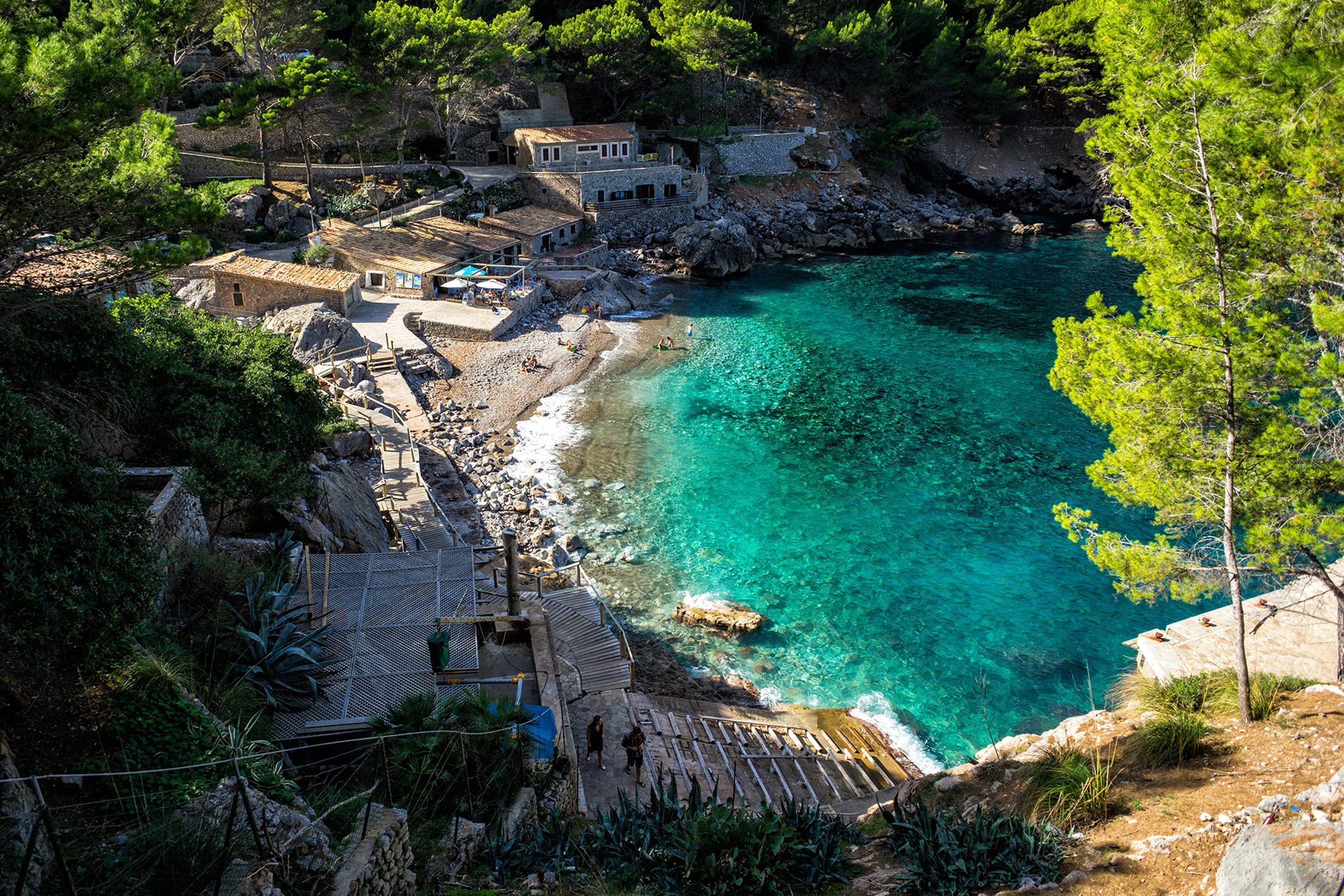
Sa Calobra
A shingle cove at the mouth of the Torrent de Pareis, reached by a winding road completed in 1932 that is almost more famous than the destination. Twelv…
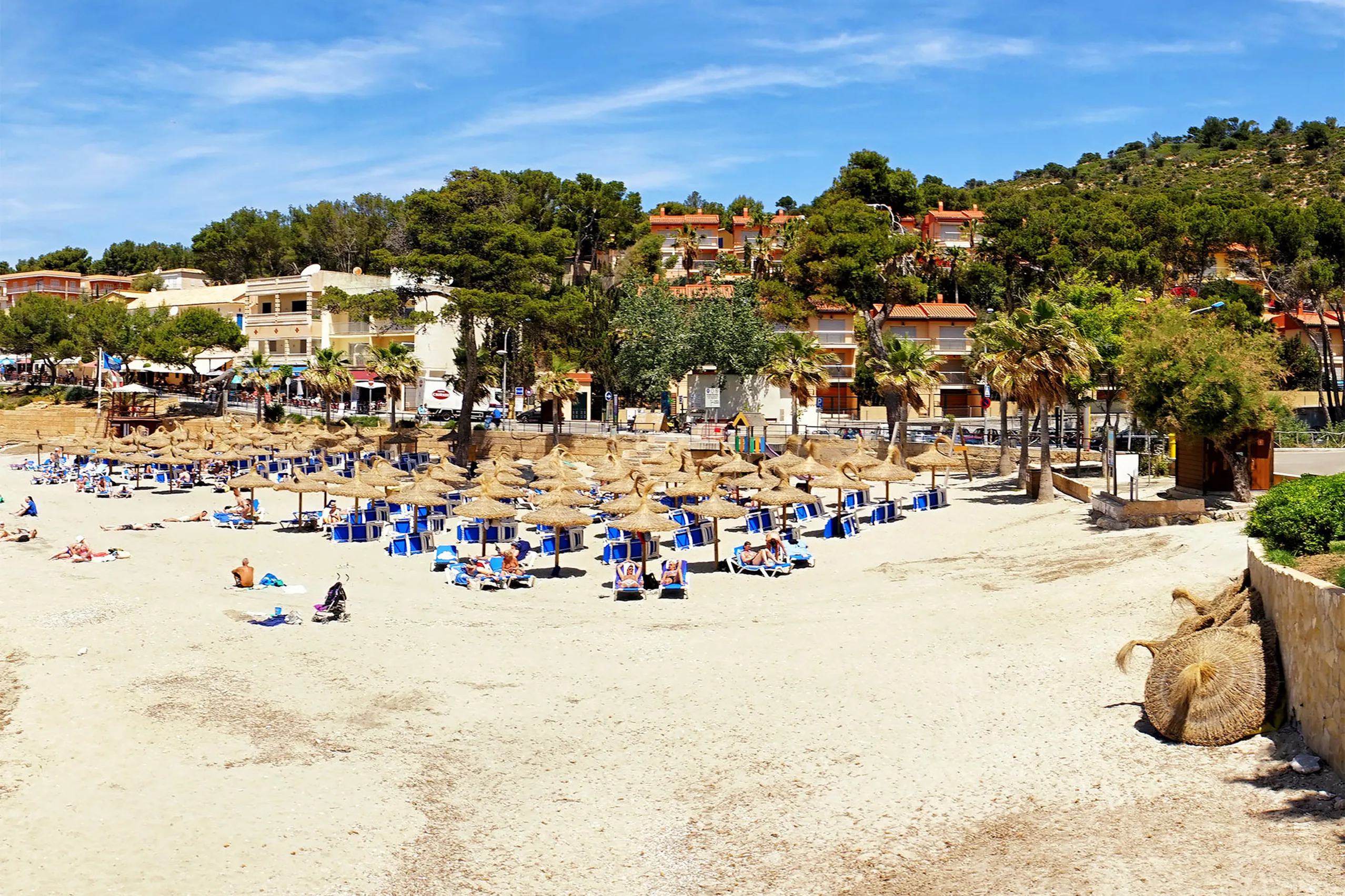
Sant Elm
Mallorca's westernmost village, a small seaside resort at the end of the road. The uninhabited island of Dragonera lies opposite. Beyond here, there is…
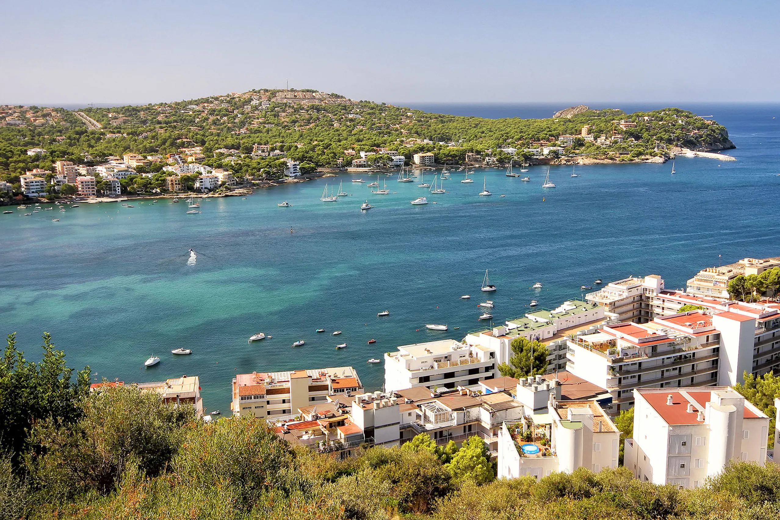
Santa Ponça
A large resort in the south-west with a broad sandy beach, marina and offshore islands. Jaume I landed here in 1229 — a stone cross above the bay marks…
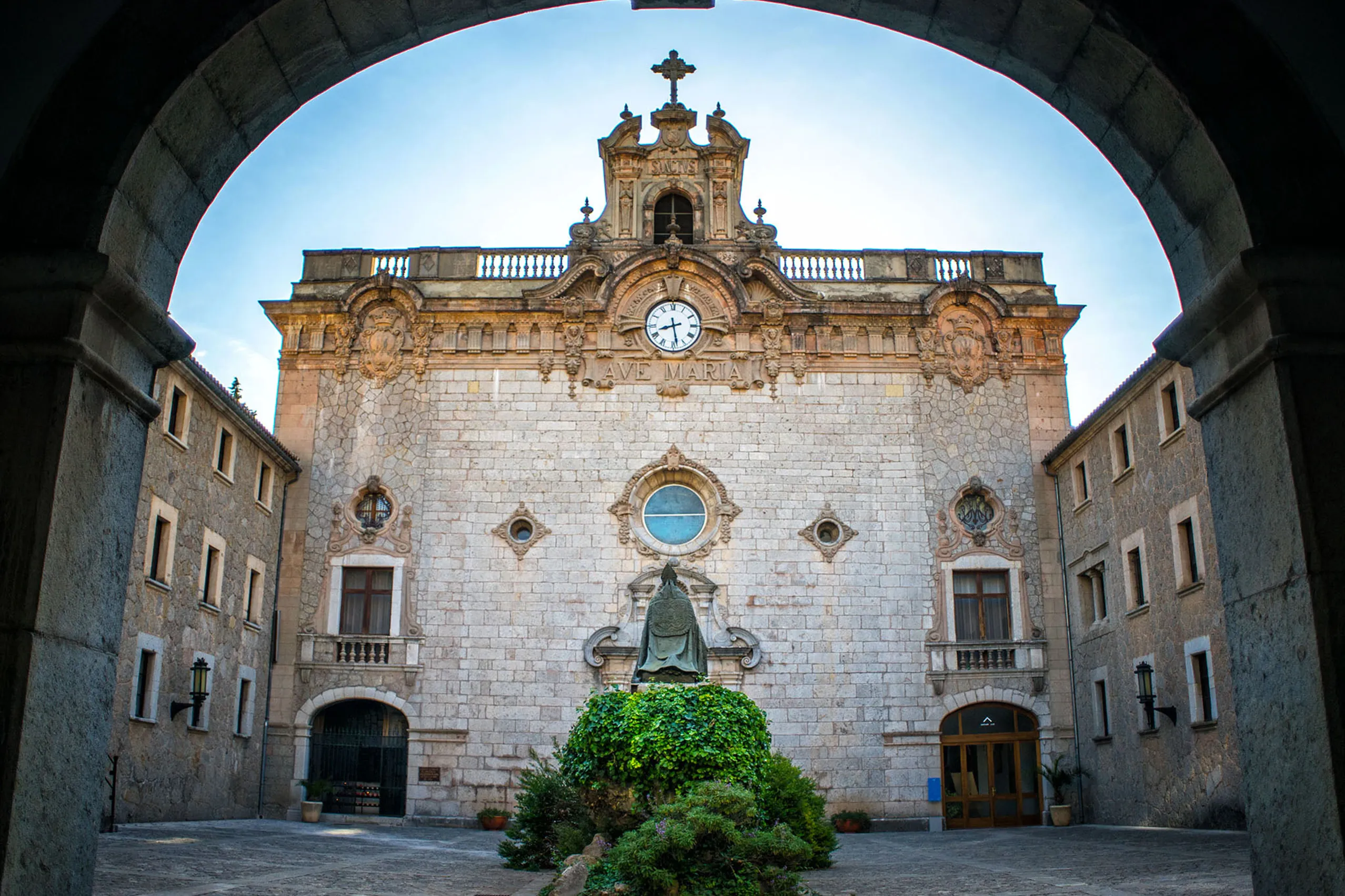
Santuari de Lluc
Mallorca's spiritual centre, a sanctuary at 525 metres in the heart of the Tramuntana, with guest rooms, a children's choir and a Rosary Way whose desig…
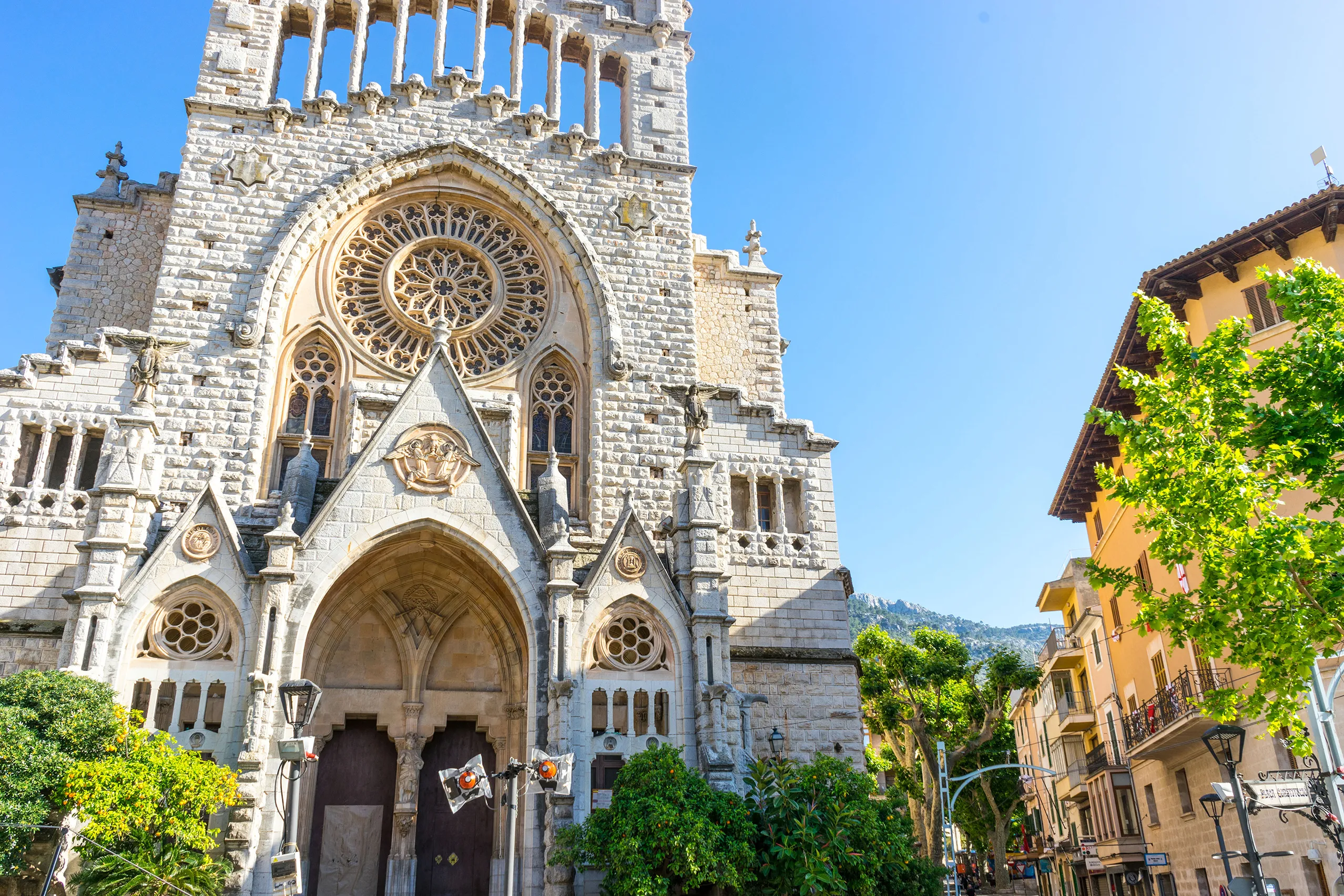
Sóller
An orange-growing town in a mountain-ringed valley, once easier to reach by sea than overland. Citrus trading brought wealth, French-influenced houses a…
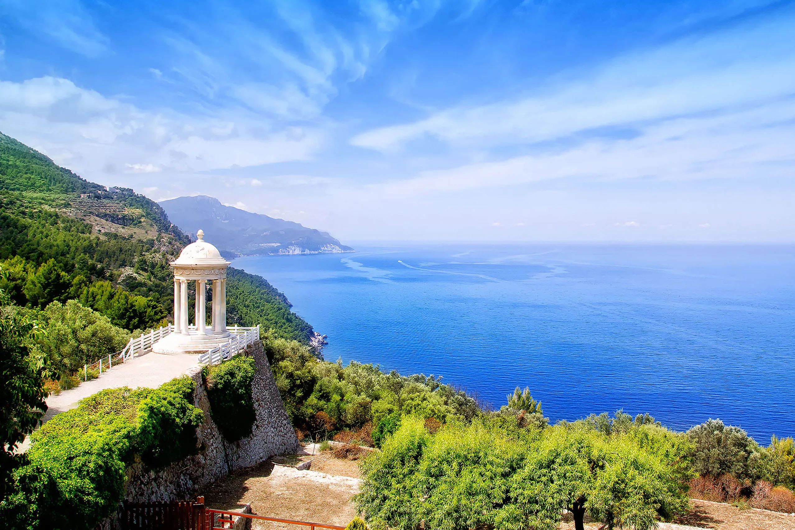
Son Marroig
Archduke Ludwig Salvator's country estate above the west coast, with a white marble pavilion on the edge — the best-known viewpoint between Valldemossa…
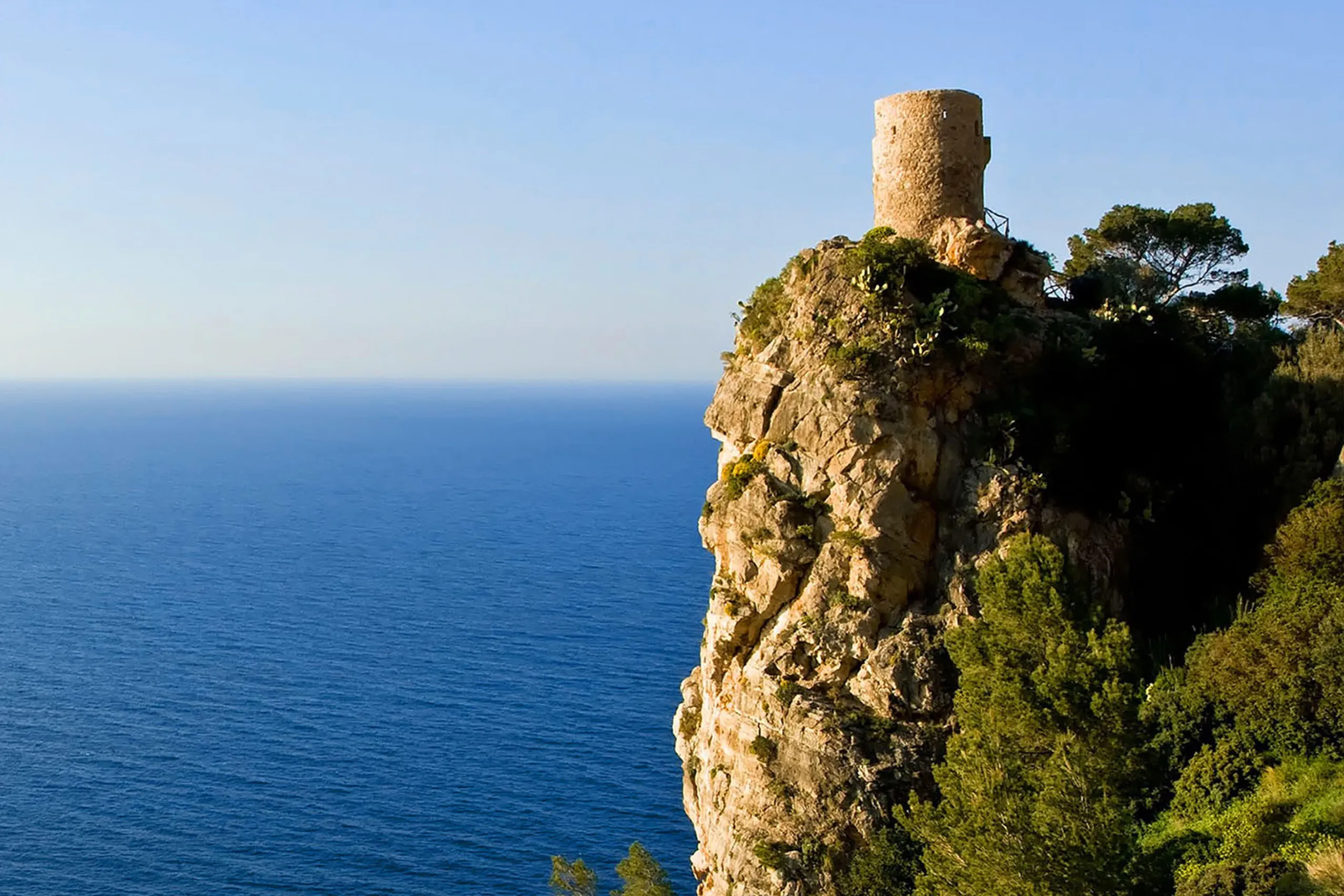
Torre des Verger
A round 16th-century watchtower on an isolated rocky outcrop above the west coast. Climb the stone steps to the roof for one of the Ma-10's finest coast…
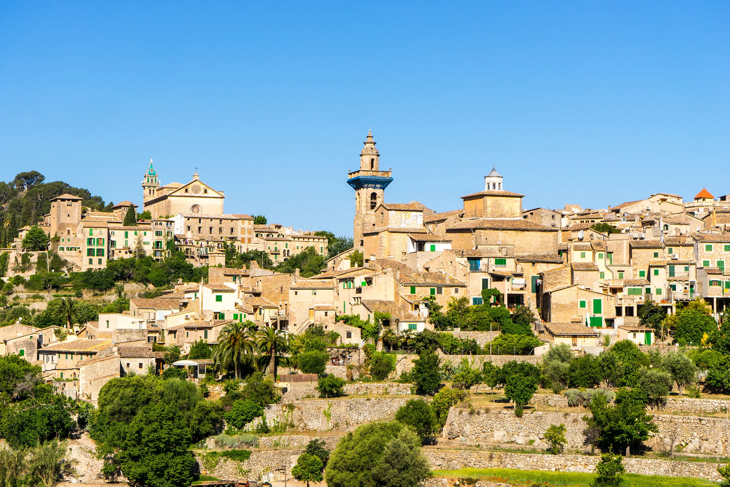
Valldemossa
Mallorca's best-known mountain village, famous for a winter that was mostly wet. Chopin and George Sand stayed in its former charterhouse in 1838–39. Vi…
Where it is
Serra de Tramuntana on Mallorca
- In Mallorca Fritz
- 40
- Places to explore
- Town: 2, Mountain village: 10, Inland village: 2, Seaside resort: 11, Cove: 3, Place to visit: 12
- By the sea
- 14 of 40 places
- Largest place
- Pollença , 16,400 residents
- Highest place
- Gorg Blau , 600 m above sea level
- Area
- About 27% of the island
All 40 places in the region Open Google Maps
The shaded area is not an administrative boundary. Mallorca’s comarques have no officially defined boundaries. It shows which part of the island is closest to this region’s places, calculated from the coordinates in the place guides.
Views of the region
Serra de Tramuntana on Mallorca