Raiguer
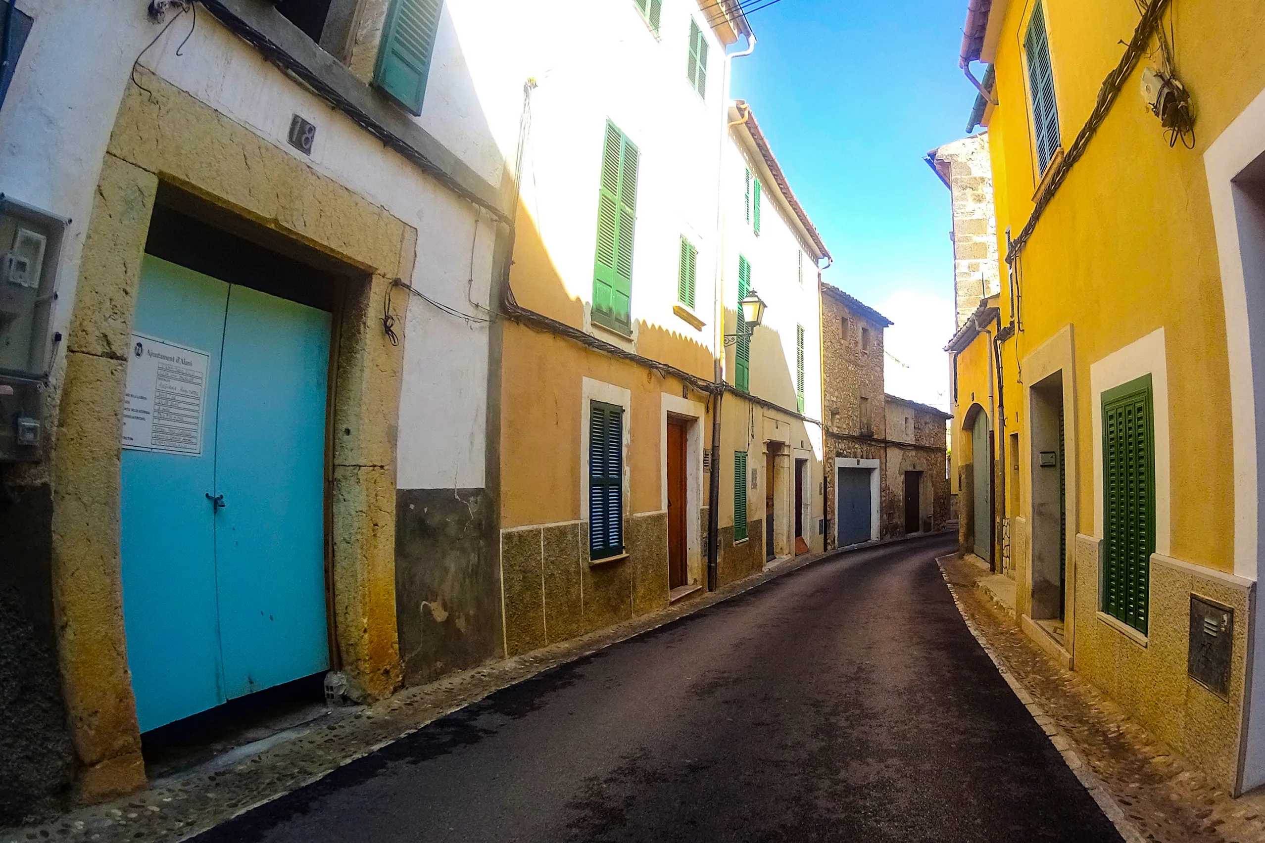
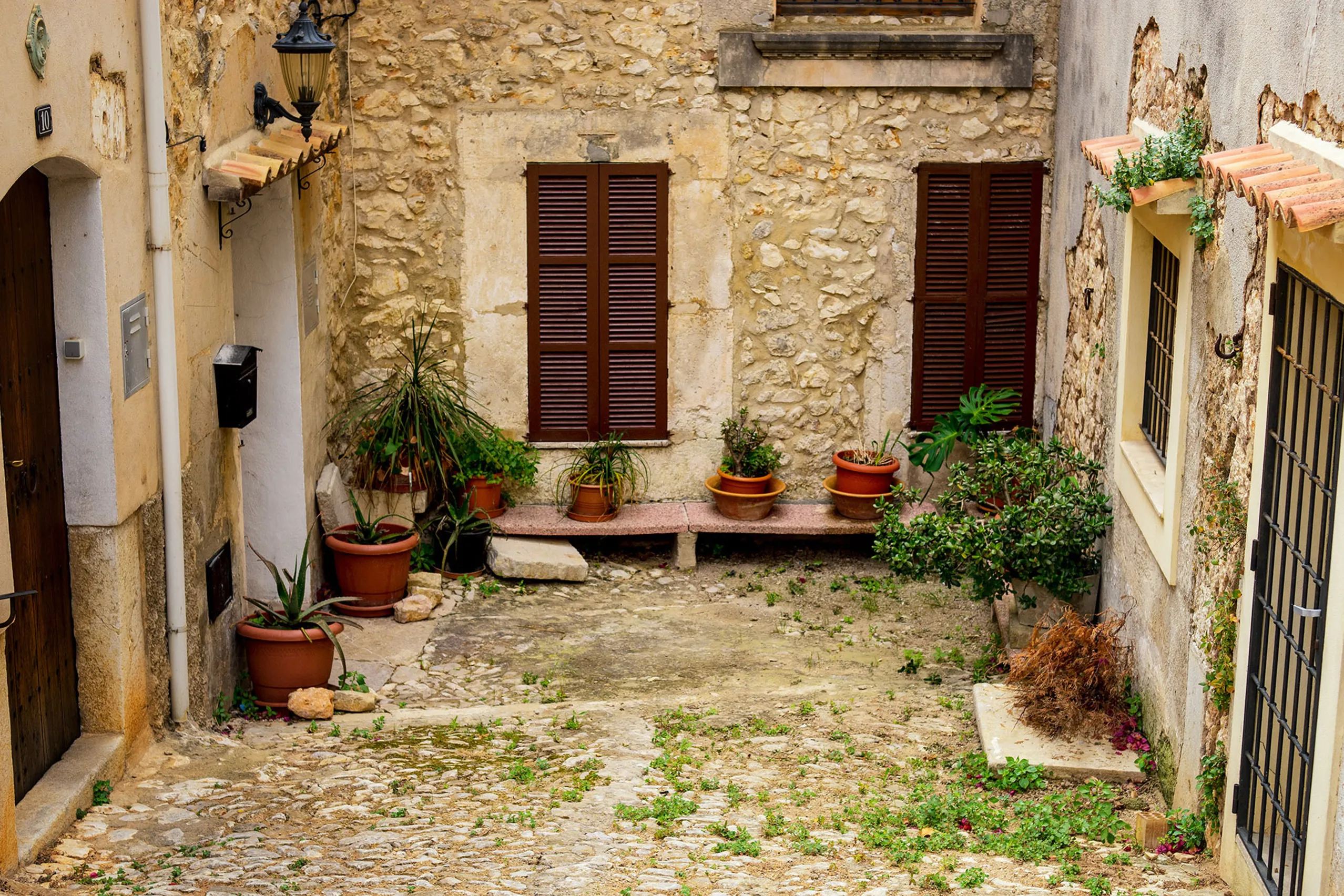
Colourful doors and shutters are part of everyday life here, rather than a backdrop arranged for photographs.
The Raiguer is the narrow strip between the mountains and the central plain, where water runs down from the Tramuntana. Farming and wine growing are part of everyday life here. The island’s main northward route has long followed this corridor, from Marratxí through Inca to Alcúdia, where the region reaches the sea.
A region of workshops and vineyards
Away from the coast, the Raiguer’s towns have a strong history of craft and industry. Inca, the region’s largest town, is still known for leather and shoes. Around Binissalem and Santa Maria del Camí are wineries within the Binissalem designation of origin, while Consell and Alaró have traditions of working with clay. You’ll pass workshops and warehouses as well as the places visitors come to see.
Places to visit
Walk up to Castell d’Alaró on its flat-topped mountain; allow around an hour from the nearer starting points. Climb the cypress-lined steps to Selva’s church. Visit the vineyards around Binissalem, where the grape harvest takes place in September. Explore the Campanet caves and nearby Sant Miquel church, or head to Inca for its large Thursday market.
At the northern end: Alcúdia
The old road ends at Alcúdia, the region’s coastal municipality and a major holiday destination. You can walk along parts of its well-preserved medieval walls. Close by are the excavations of Pollentia, one of Roman Mallorca’s principal cities. Port d’Alcúdia and the bay beyond have kilometres of sandy beach with gently shelving water, making them popular with families with young children.
Easy to explore by train
The railway from Palma runs through Santa Maria del Camí, Consell, Binissalem and Inca, with services continuing towards Sa Pobla and Manacor. For the Sunday market in Santa Maria or Thursday market in Inca, the train can spare you both traffic and the search for a parking space.
When to come
March to May brings green countryside, while September and October are harvest months for grapes and olives. Almond blossom brightens the countryside around February. In high summer, heat builds up between the buildings along the main streets, so mornings are more comfortable for exploring.
All the places in the region
Raiguer: towns, coves and places to visit
Alaró
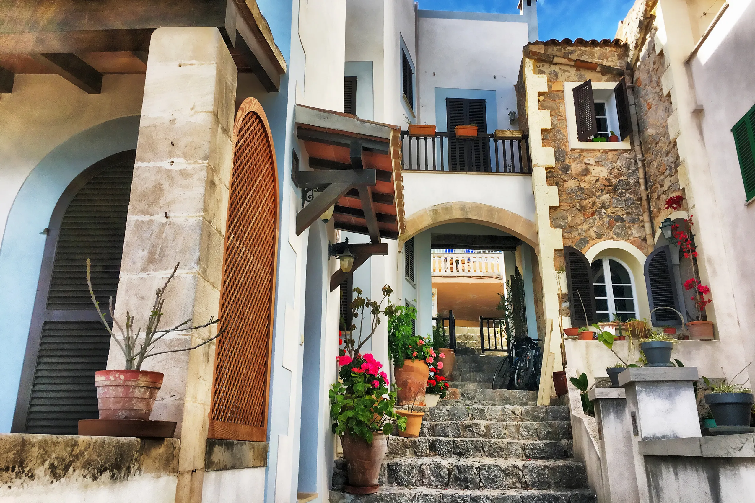
A village at the foot of the Tramuntana, beneath a flat-topped mountain crowned by one of Mallorca’s three former royal castles. Down below are lanes, a…
Alcanada
A quieter alternative to Port d’Alcúdia, 3 km to the east. Low villas sit among pines beside a pebbly, sandy shore without rows of sunbeds. Just offshor…
Alcúdia
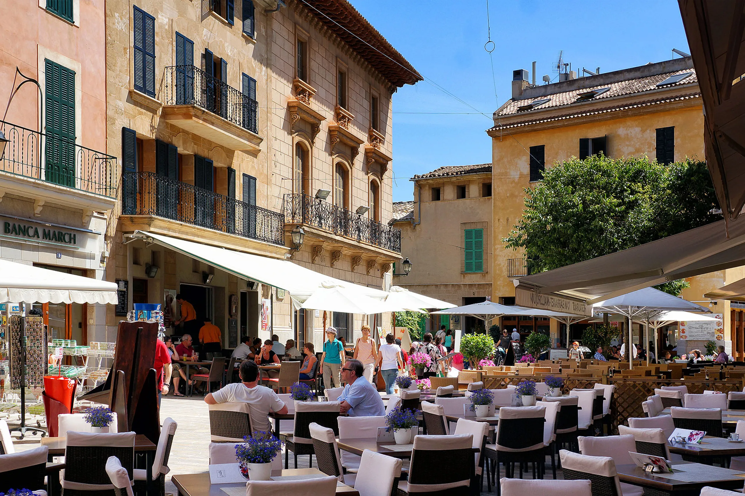
Mallorca’s best-preserved medieval town walls enclose lanes of honey-coloured sandstone, while the Roman remains of Pollentia lie just outside. The old…
Binissalem
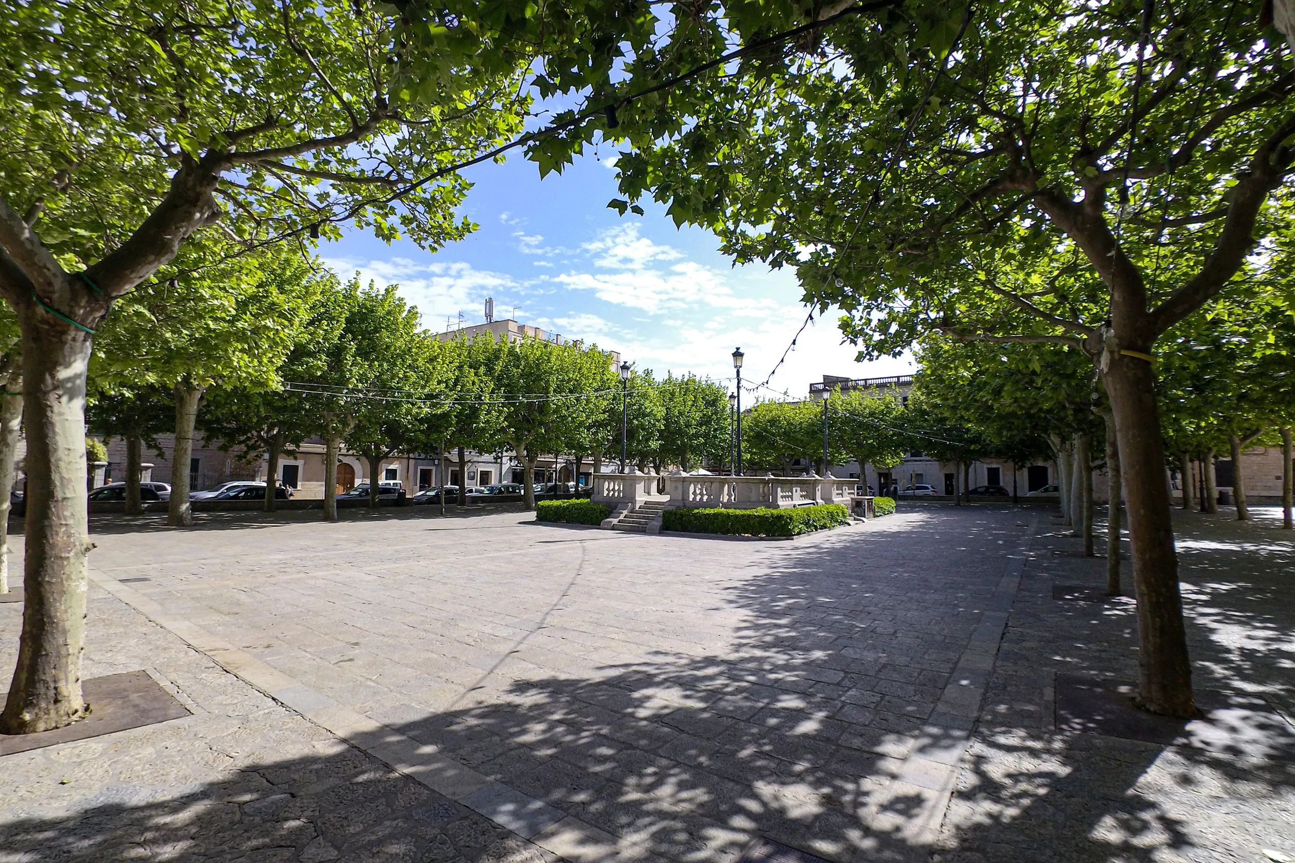
Mallorca’s wine town, at the heart of the Balearics’ first designated wine-growing area. Golden sandstone manor houses, a substantial church and Septemb…
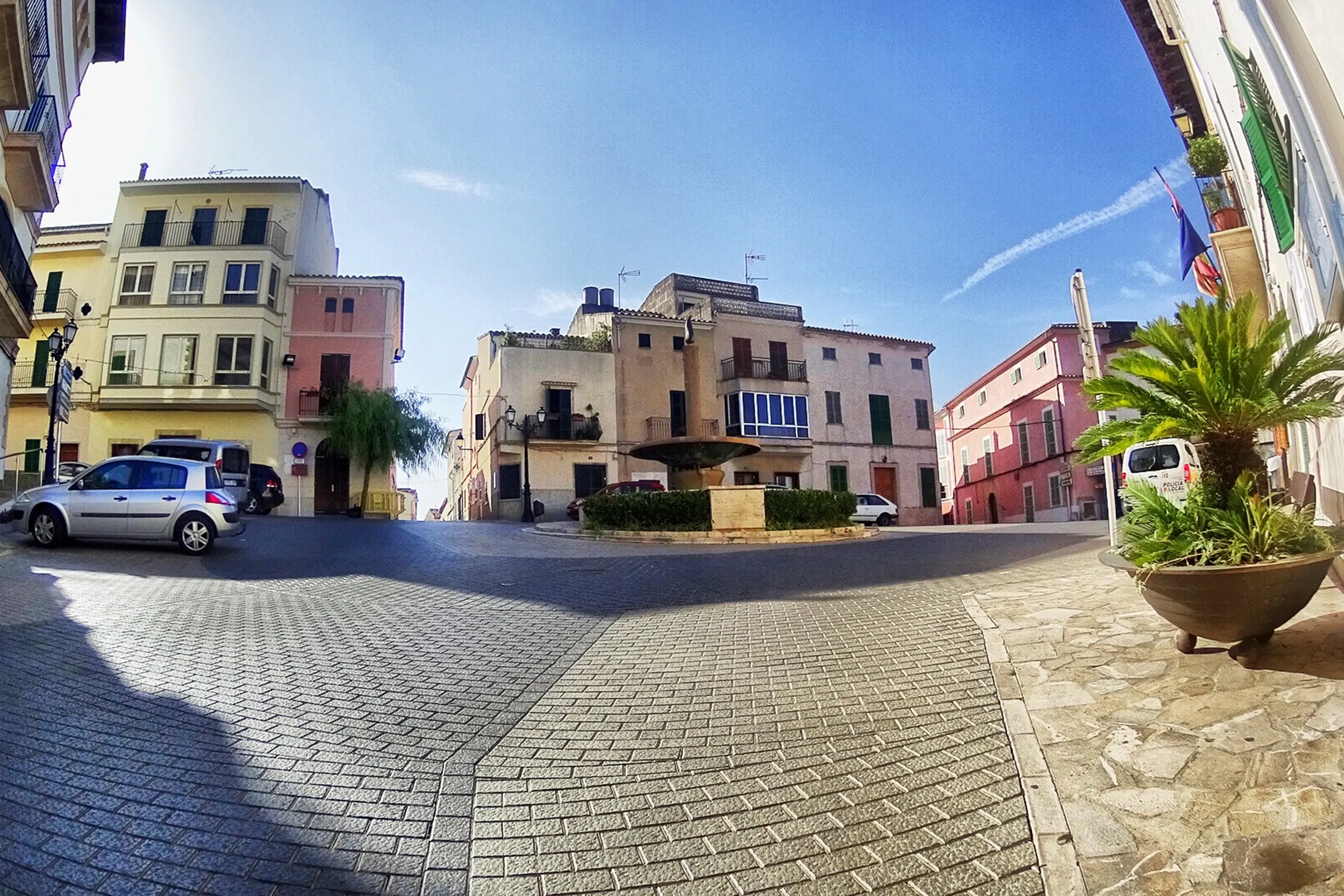
Búger
One of Mallorca's smallest municipalities: around a thousand people on a hill surrounded by almond and carob trees. No big attraction, souvenir shopping…
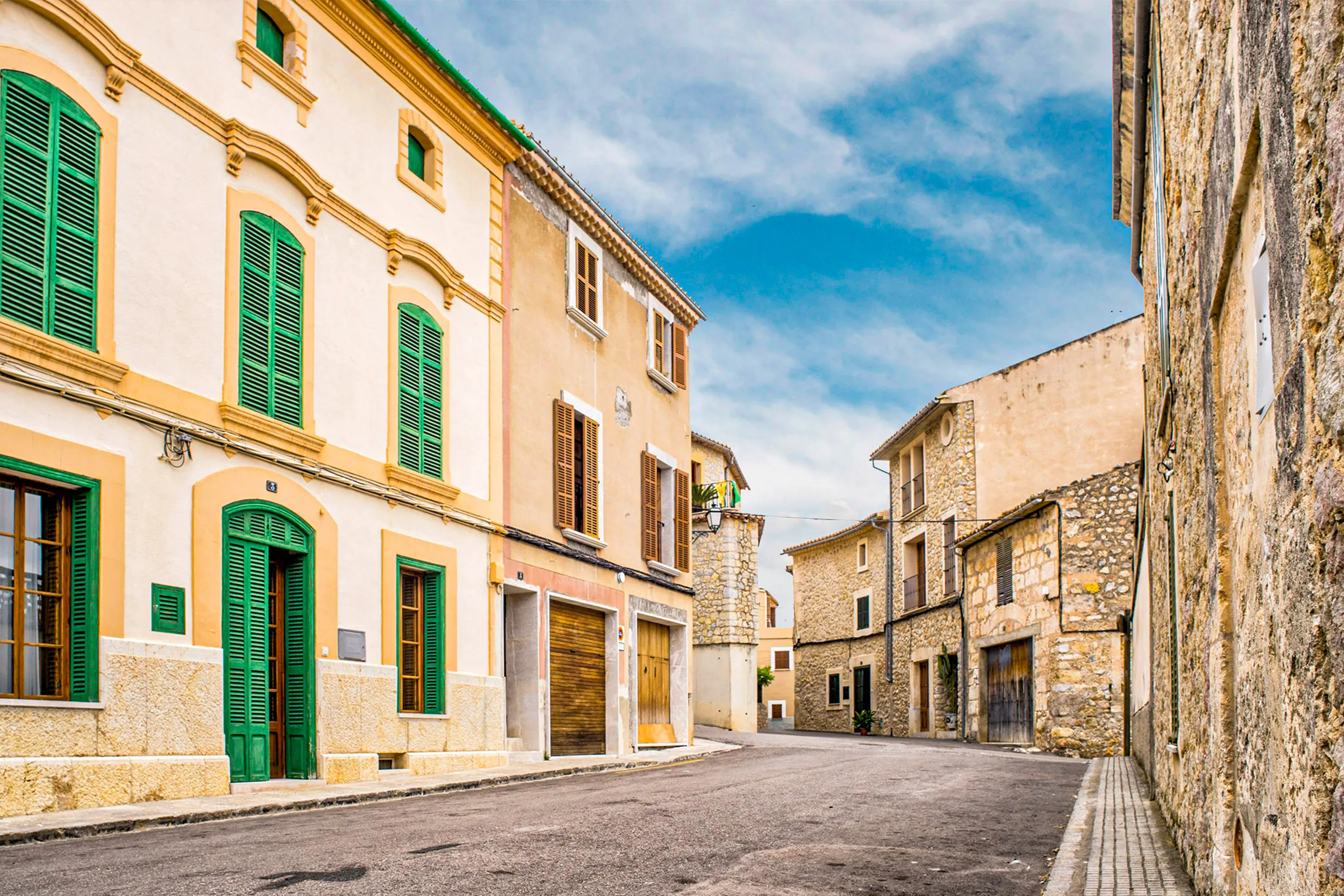
Caimari
Around eight hundred people live at the foot of the Tramuntana, among rough stone lanes and olive groves. The old pilgrims' path to Lluc starts here, an…
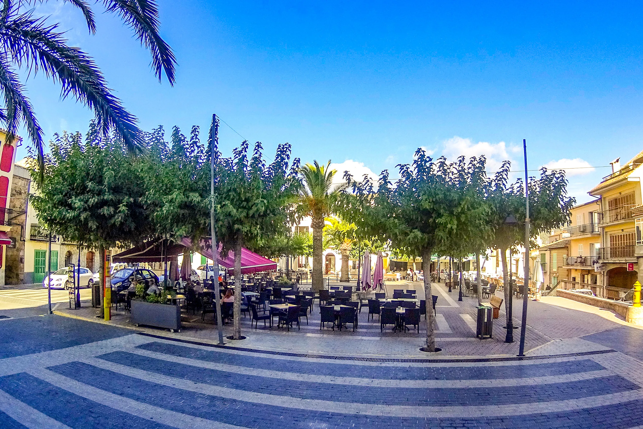
Campanet
A village below the Tramuntana with a large church and a broad, tree-lined square. Nearby are two very different natural sights — the caves and Fonts Uf…
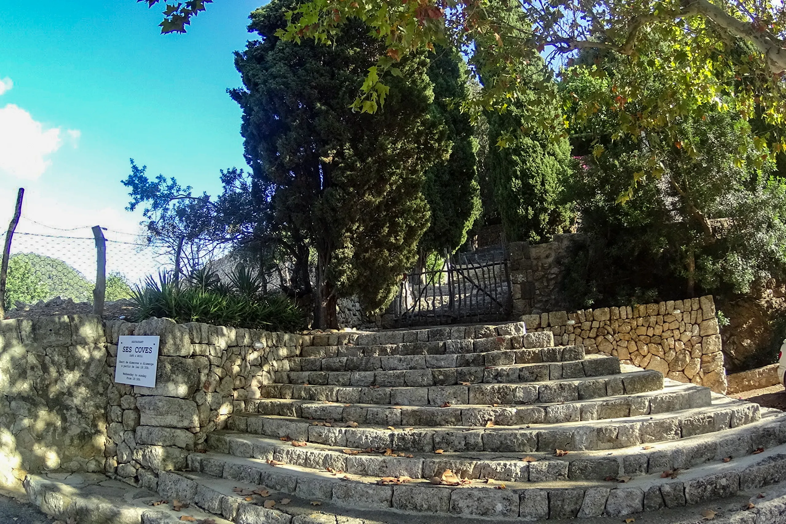
Coves de Campanet
A quieter cave visit near Campanet, with limestone formations rather than a boat ride or colourful show. Allow around forty minutes underground, then en…
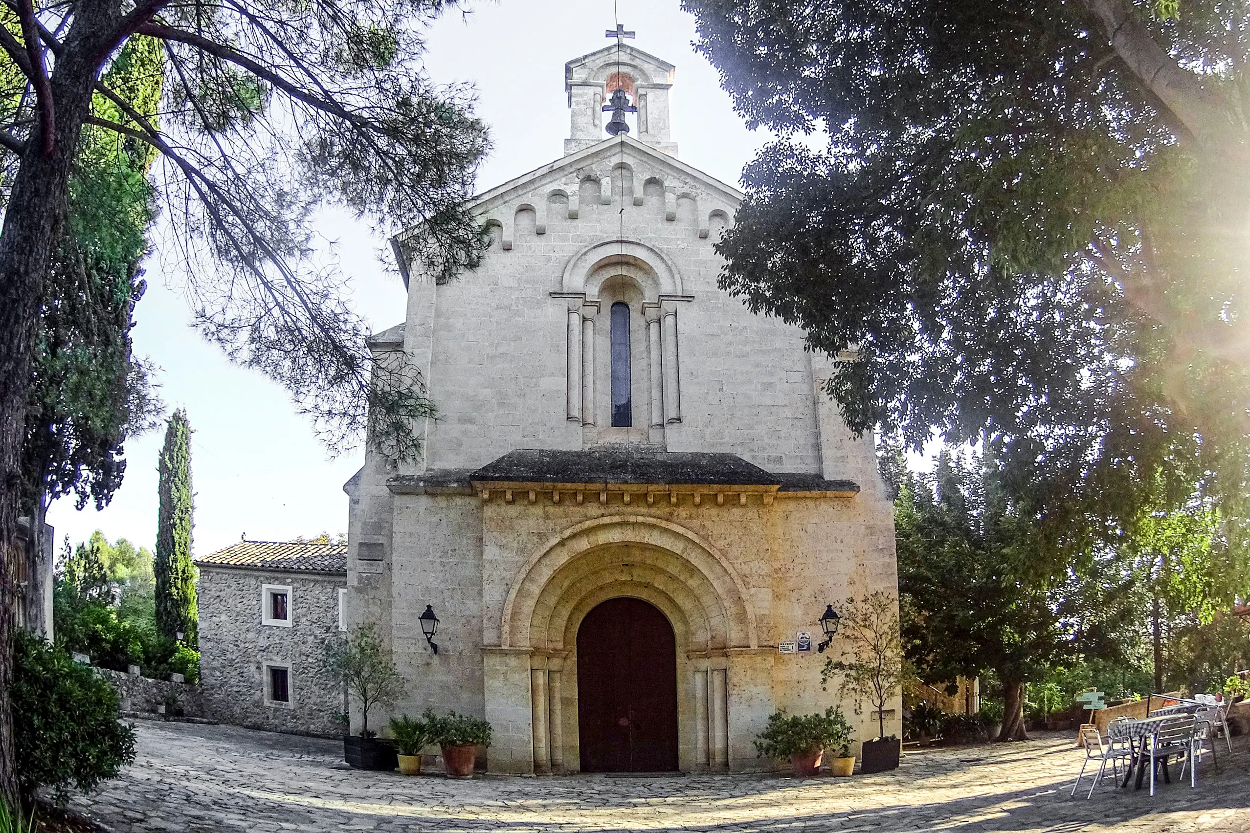
Ermita de Crestatx
A small pilgrimage chapel among pines near Sa Pobla, on the site of an older settlement. A paved path leads up to the church, with tables in the shade f…
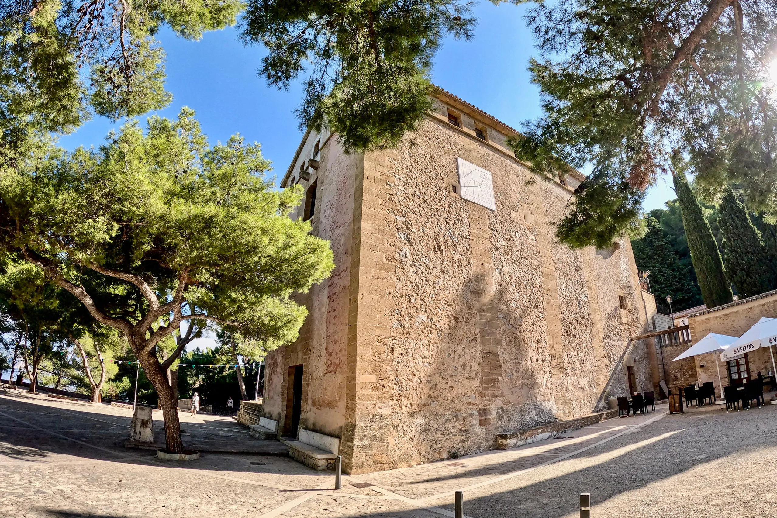
Ermita de la Victòria
A pilgrimage church on the Victòria peninsula, seven kilometres north-east of Alcúdia. The road ends at a forecourt beneath pine trees, looking across P…
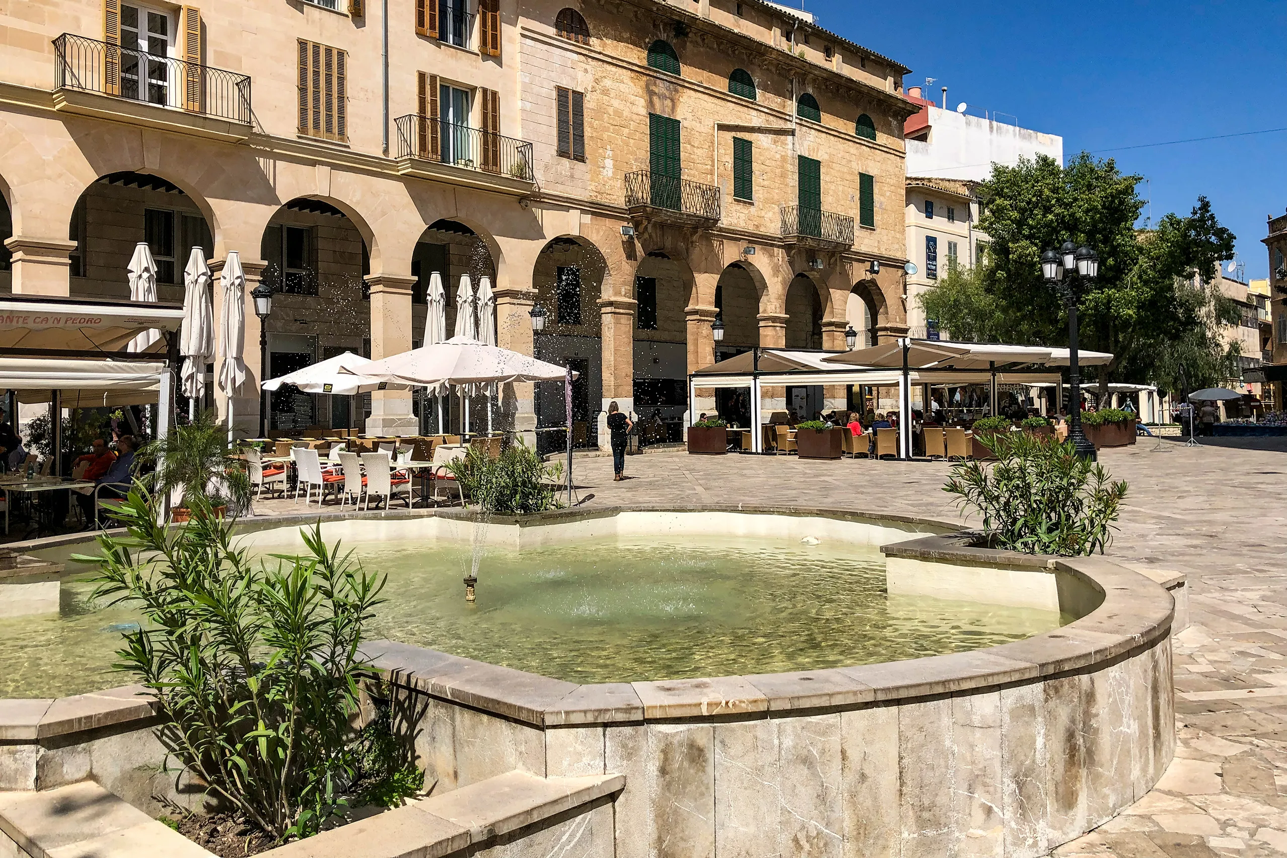
Inca
Mallorca’s third-largest town has long been shaped by leatherworking. It has the bustle of an inland commercial centre, the island’s largest market on T…
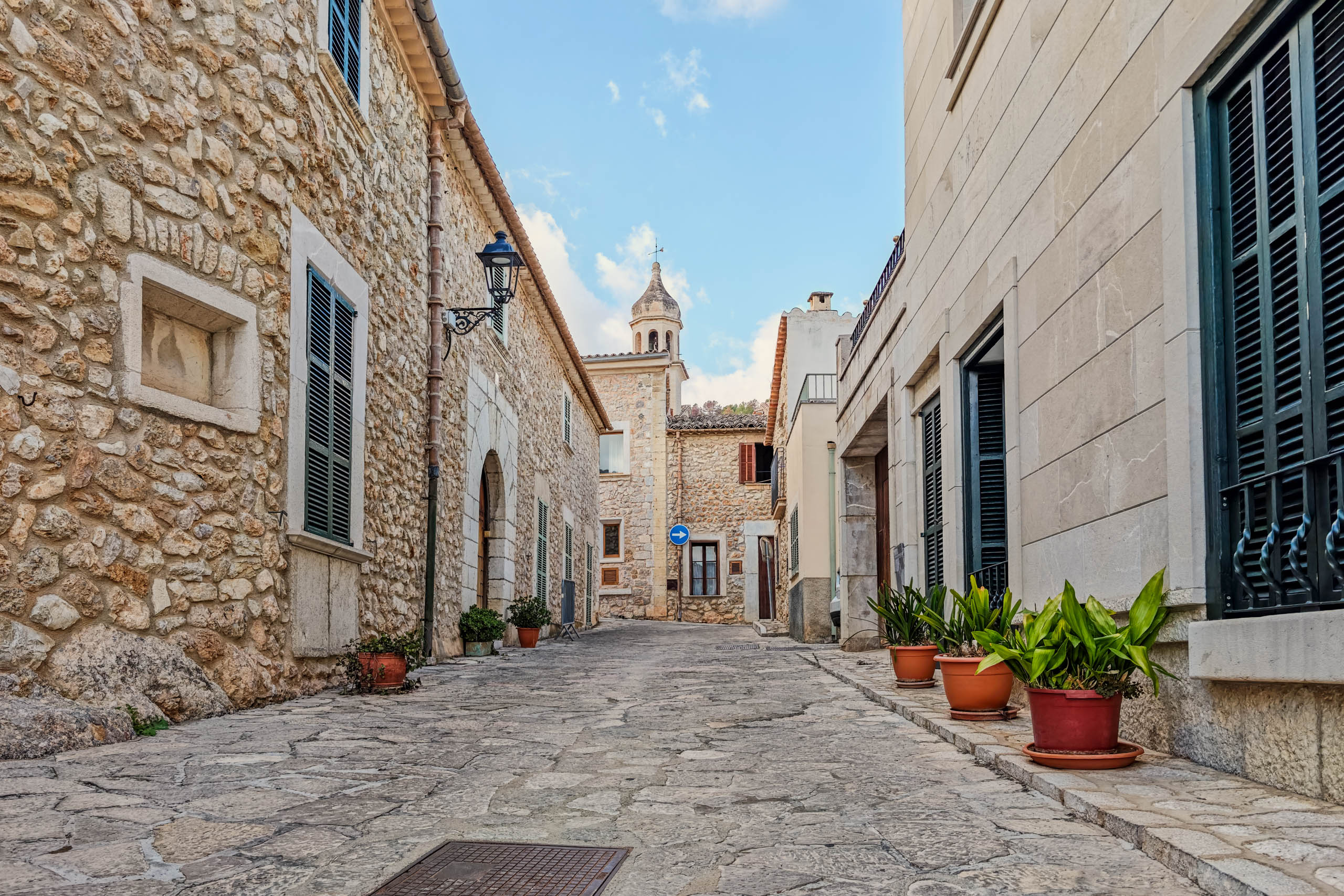
Mancor de la Vall
Old stone houses, narrow lanes and a coffee at the foot of the Tramuntana. Mancor de la Vall is worth a quiet village walk or a stop on a cycle ride or…
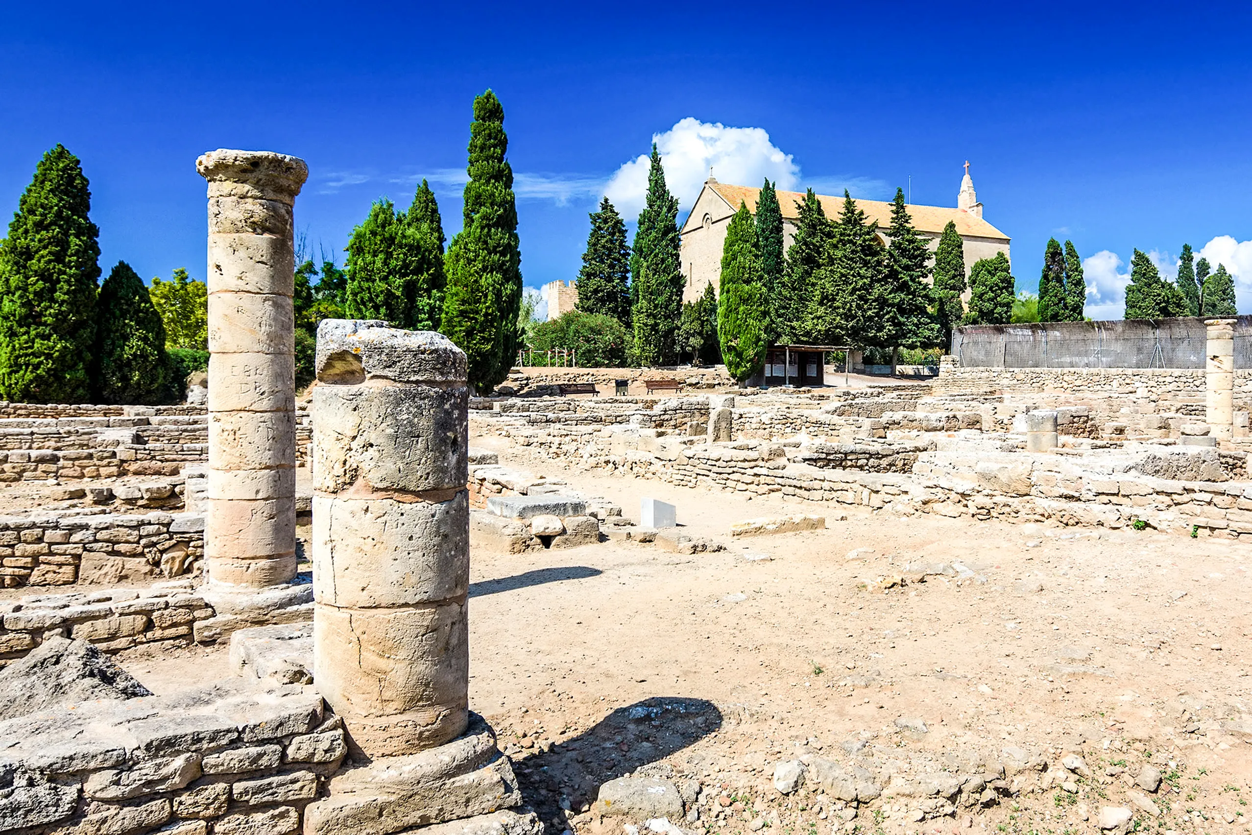
Pollentia
The remains of an important Roman town just outside Alcúdia. An urban centre developed here after the conquest of 123 BC. The forum, theatre and Sa Port…
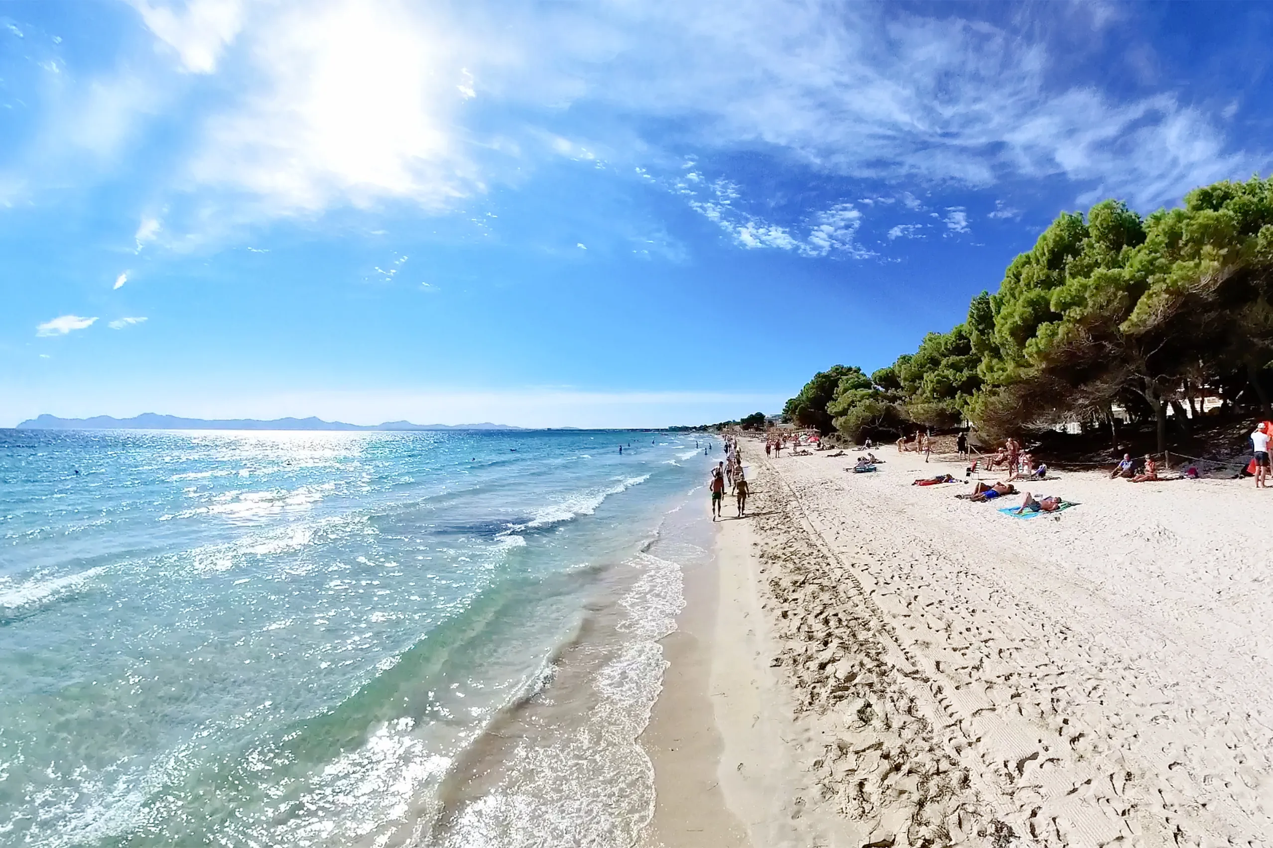
Port d'Alcúdia
Five kilometres of pale sand shelving gently into the sea, backed by hotels, bars and shops. A classic beach holiday on Alcúdia bay, with a medieval wal…
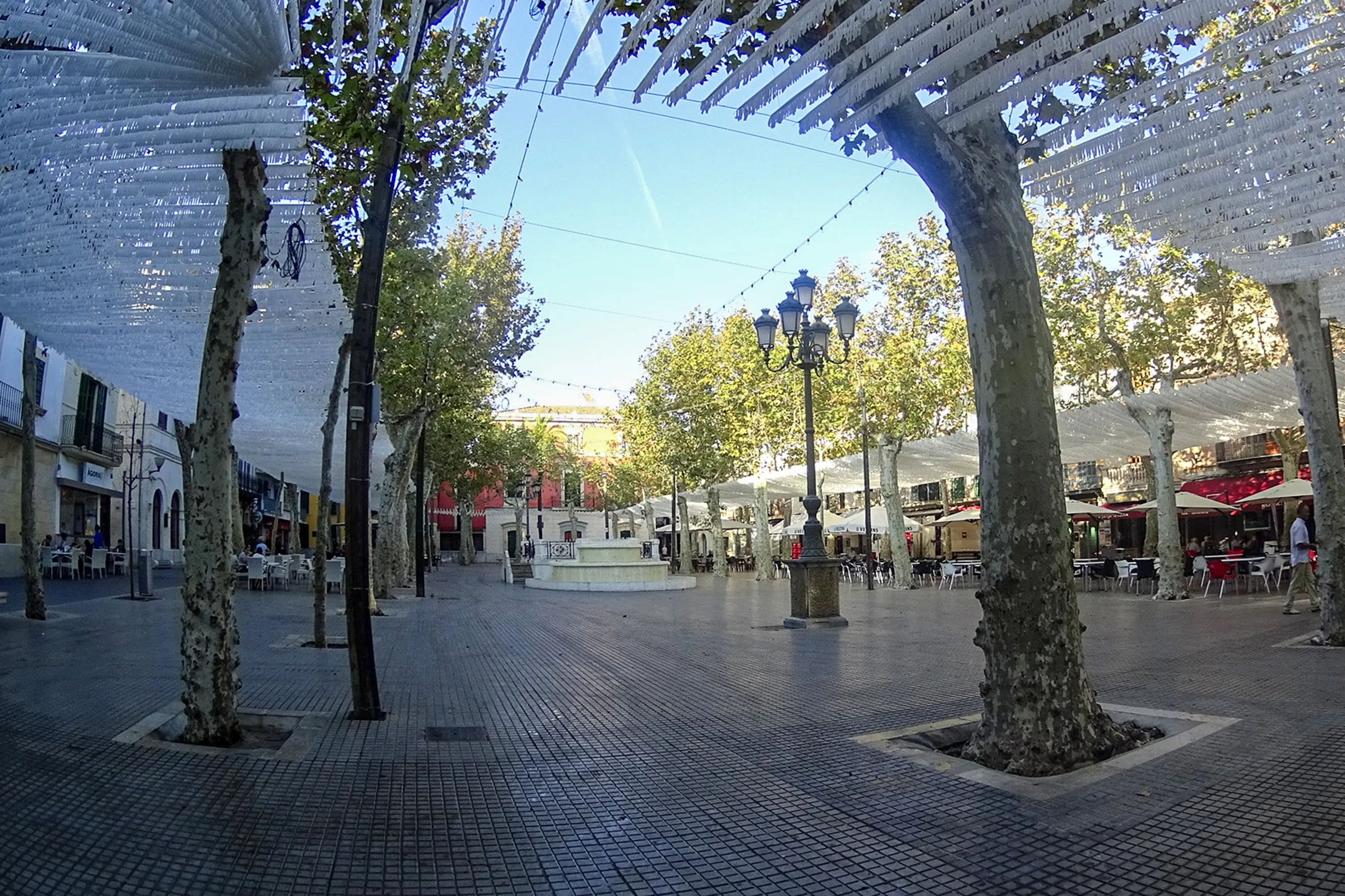
Sa Pobla
A small town on the edge of s'Albufera, built on drained marshland and known for two things — potatoes and the devils of Sant Antoni in January.
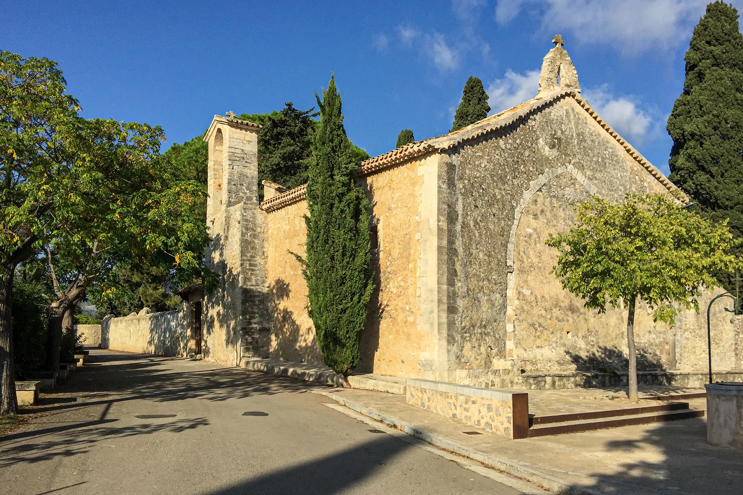
Sant Miquel de Campanet
One of Mallorca's oldest churches, standing alone among the fields outside Campanet. Built on the site of a mosque after the conquest of 1229, it served…
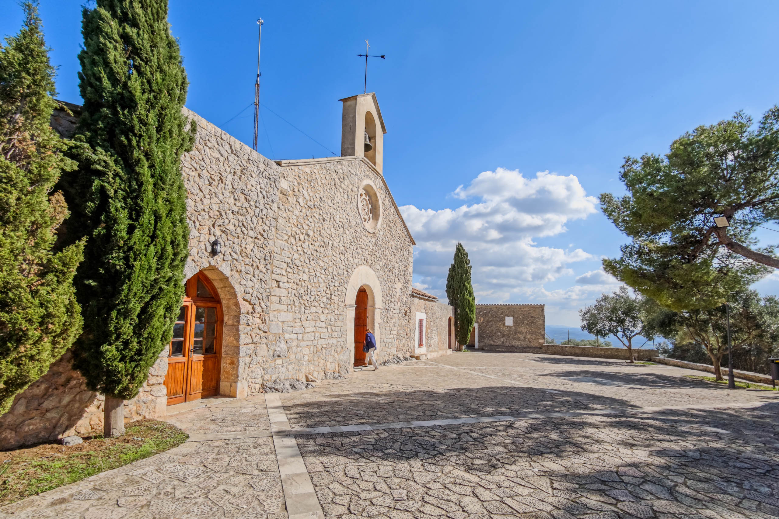
Santa Magdalena
A small chapel and a wide view across Mallorca. Santa Magdalena stands on a hill near Inca. The winding climb is short but has steep sections for cyclis…
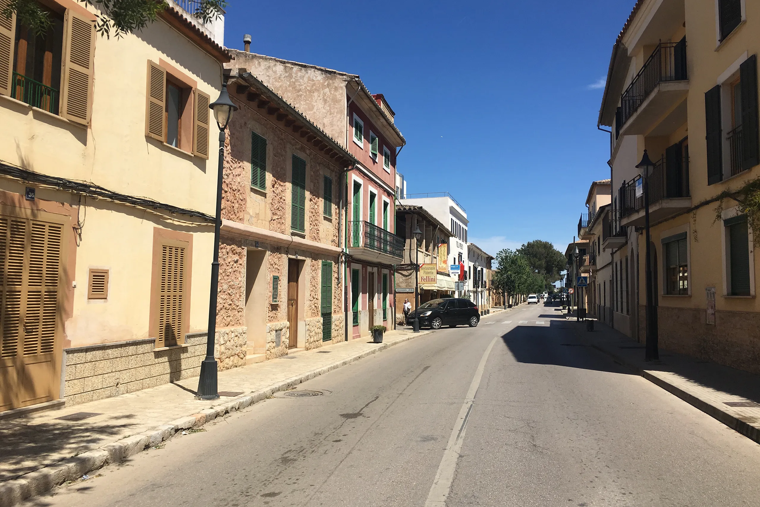
Santa Maria del Camí
A wine village on the old Palma–Inca road, with traffic passing straight through. Sunday brings the market, the surrounding estates belong to the Biniss…
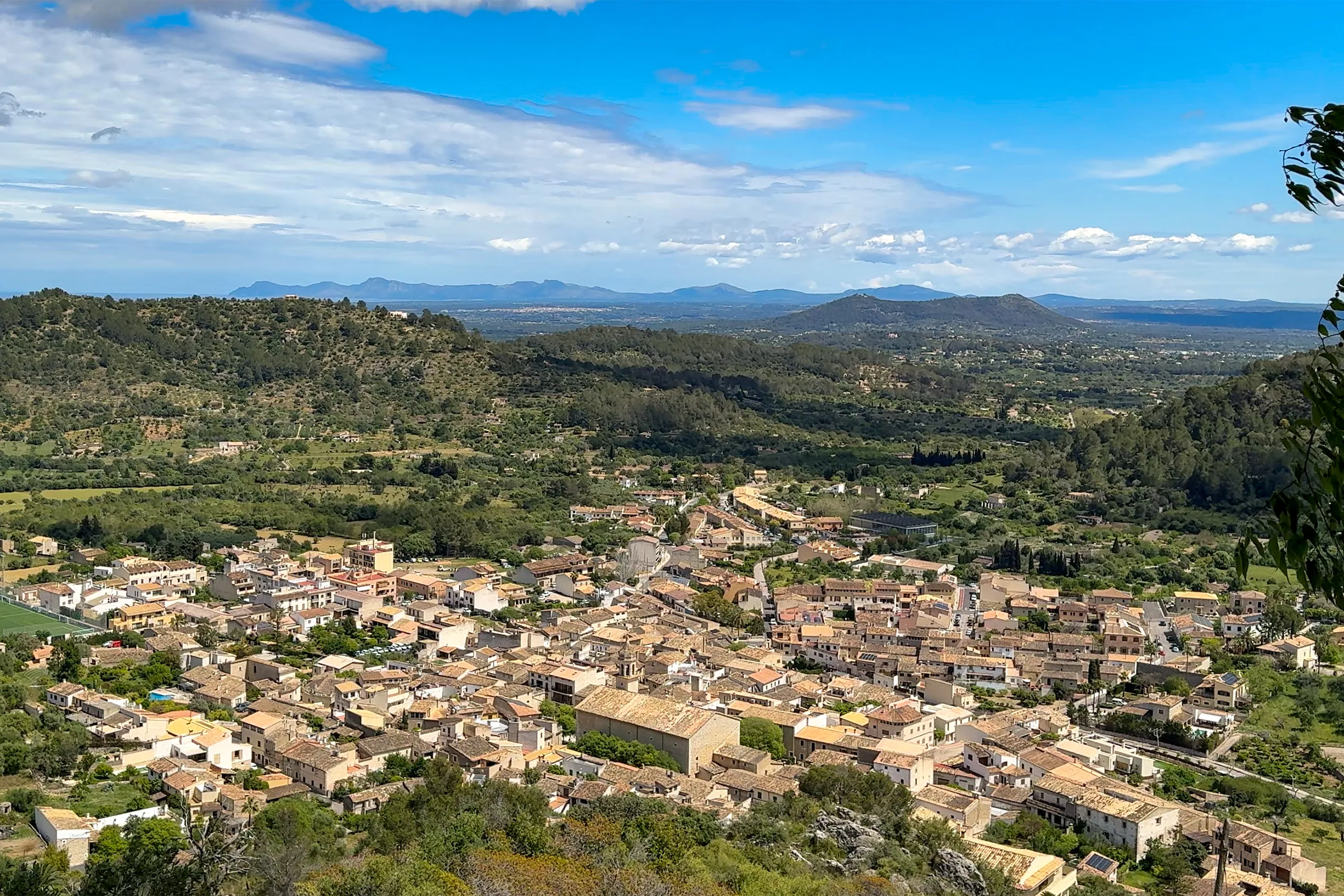
Santuari de Santa Llúcia
A pilgrimage church on a rocky ledge above Mancor de la Vall, documented since 1275. The terrace looks across much of inland Mallorca, and even in summe…
Selva
A village at the foot of the Tramuntana on the road to Lluc. Sant Llorenç church stands above a broad outdoor staircase lined with cypresses — the lovel…
Where it is
Raiguer on Mallorca
- In Mallorca Fritz
- 20
- Places to explore
- Town: 3, Mountain village: 2, Inland village: 6, Seaside resort: 2, Place to visit: 7
- By the sea
- 2 of 20 places
- Largest place
- Inca , 35,000 residents
- Highest place
- Santuari de Santa Llúcia , 345 m above sea level
- Area
- About 11% of the island
All 20 places in the region Open Google Maps
The shaded area is not an administrative boundary. Mallorca’s comarques have no officially defined boundaries. It shows which part of the island is closest to this region’s places, calculated from the coordinates in the place guides.