1Port d’Andratx — Sant Elm
The south-western start of the trail. Take plenty of water and sun protection for this stretch too.
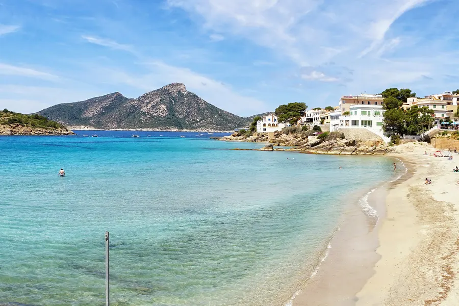
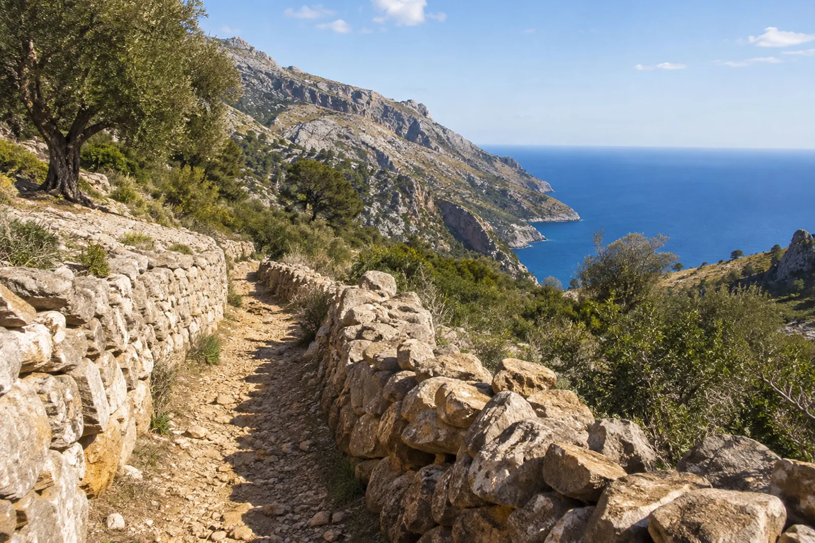
A dry-stone path on the Tramuntana’s west coast.
Get to know the GR 221, the old paths it follows and the villages you can use as a walking base.
The Serra de Tramuntana is Mallorca’s best-known walking area. Old paths link villages, olive groves and mountain refuges. There are rewarding walks outside the range too, along the coast and in the Serres de Llevant.
The Serra de Tramuntana stretches from the south-west to Formentor, covering more than a thousand square kilometres and reaching 1,445 metres at Puig Major. It has been a UNESCO World Heritage Site since 27 June 2011, recognised for the landscape shaped by people as well as its scenery: terraces, paths, cisterns and snow houses, built from stone without mortar.
Many paths were working routes long before walkers came on holiday: mule tracks to olive groves, charcoal-burners’ paths into holm-oak woods and pilgrimage routes to Lluc. Climb the Barranc de Biniaraix and you are following one of these historic paved ways.
Its official name is Ruta de la Pedra en Sec, the Dry Stone Route. The Consell de Mallorca lists nine main stages from Port d’Andratx to Port de Pollença. The open network includes around 150 kilometres of main trail and 111 kilometres of variants. Adding those figures does not give the distance of a single end-to-end walk.
Check the official route and current notices before setting off. This overview helps you plan, but you will need the detailed route, a suitable map and realistic timings for the walk itself.
From south-west to north-east
The south-western start of the trail. Take plenty of water and sun protection for this stretch too.
A long, demanding stage: the Consell gives around 25 kilometres and 8 hours 40 minutes. Check that your fitness, daylight hours and accommodation plans allow for it.
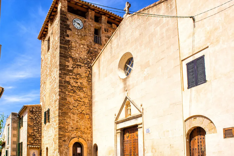
The next stage in the western mountains. Follow the approved route rather than tempting-looking shortcuts.
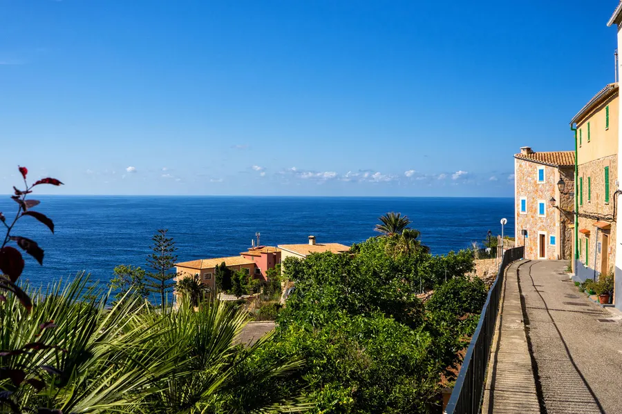
The stage ends at Can Boi refuge in Deià. Book your overnight stay in advance.
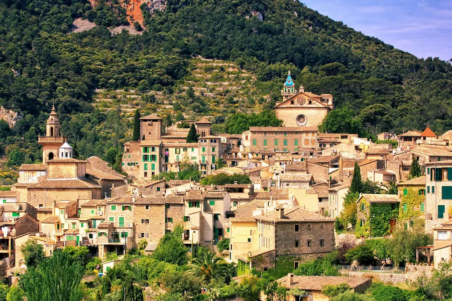
From Deià to Muleta refuge near Port de Sóller. Even for a single stage, plan how to get there and back.
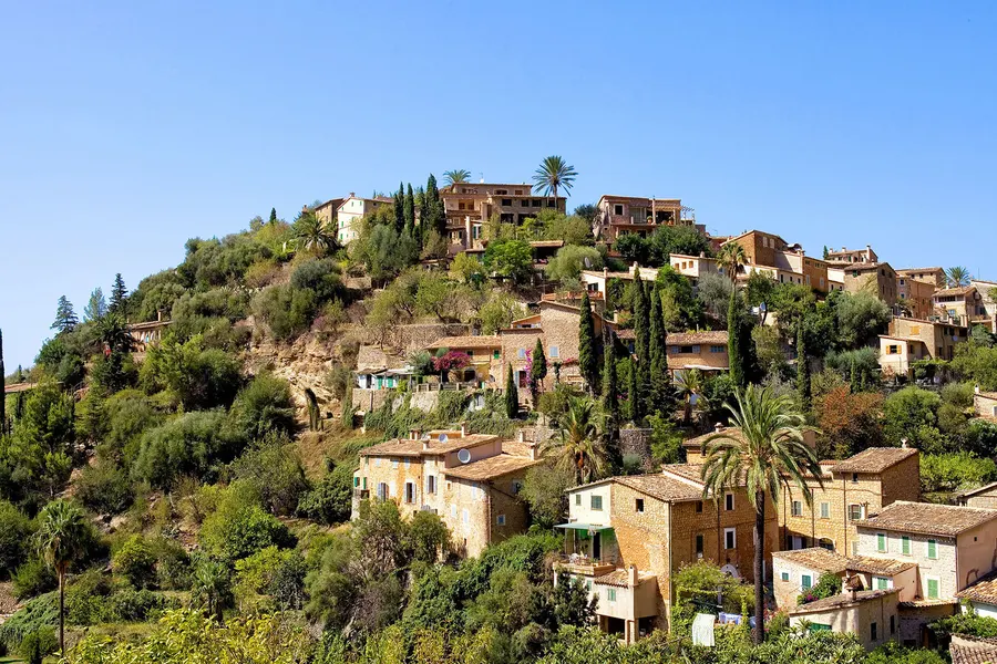
Tossals Verds is a mountain refuge, not a village with a bus stop. Accommodation and meals need to be part of your plan.
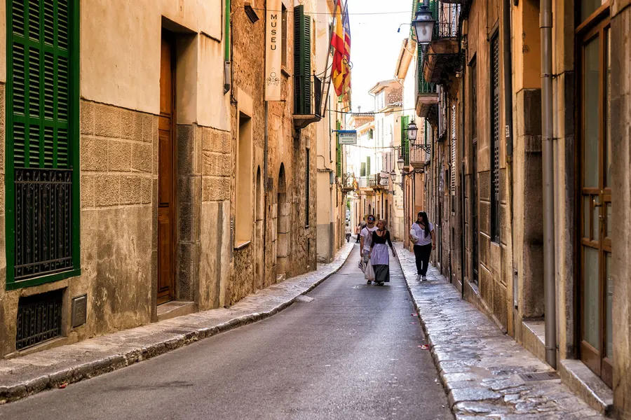
Son Amer is near Lluc. Higher up, wind, cloud and cold can change conditions quickly.
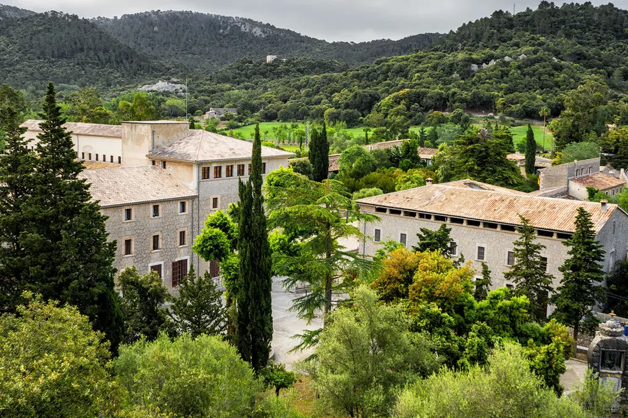
This stage ends at Pont Romà refuge in Pollença. You can follow it with a wander around town.
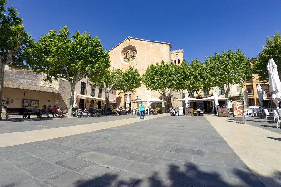
The main trail continues from Pollença to the harbour. The old town is not the end of the GR 221.
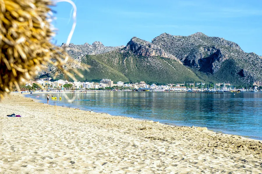
Stage endpoints follow the Consell’s overview. The photos show nearby towns and landscapes, rather than the complete route. Check detailed trail information and current closures before each walk.
For day walks, a town with accommodation and bus connections is useful. That does not apply to every stage endpoint: there is no local bus to a remote refuge. Check both ends of your route and the last journey home.
Sóller sits in the middle of the range, with a railway, buses in both directions and the well-known climb through the Barranc de Biniaraix close by. Deià is another possible base for a day on the GR 221.
Pollença covers the northern end, with routes towards Lluc and Formentor. Estellencs and Banyalbufar are in the south-western part of the range, with its distinctive terraced hillsides.
The Consell runs simple refugis along the route, including Can Boi in Deià and Muleta above Port de Sóller. Check opening dates, meals and available beds beforehand. For day walks, accommodation in the villages can work well too.
Midday from June to September can be particularly challenging. Long stretches of the Tramuntana have no shade and no dependable water source. Postpone a walk in heat, thunderstorm warnings or uncertain conditions. An early start alone does not make a demanding summer walk safe.
Spring and autumn often bring more comfortable conditions than high summer. Snow is possible on the heights in winter. Ravines and streambeds are especially dangerous after heavy rain. The actual forecast matters more than the month.
The GR 221 is the Dry Stone Route through the Serra de Tramuntana. Its main trail runs around 150 kilometres from Port d’Andratx to Port de Pollença in nine main stages, with another 111 kilometres of variants. Check the approved route and closure notices with the Consell de Mallorca.
No. Individual sections can make good day walks. Not every stage ends in a village or at a bus stop, though. Check the difficulty, walking time, journey back and any refuge booking before setting out.
Postpone demanding walks in hot weather, thunderstorms or official weather warnings. Many stretches have little shade and no reliable water supply. Wind, wet conditions and snow at higher levels can also matter outside summer.
For a multi-day walk, book your accommodation ahead. There are places to stay in towns as well as refuges. At remote stage endpoints, alternatives are limited.
They predate tourism: mule tracks, charcoal-burners’ paths and pilgrimage routes, built stone on stone without mortar. The same dry-stone techniques shaped the hillside terraces. This cultural landscape helped earn the Tramuntana UNESCO World Heritage status in 2011.
GR 221 information follows the Consell de Mallorca’s official overview. The Serra de Tramuntana has held World Heritage status since 27 June 2011. Use a walking map and check current closures as part of your planning.